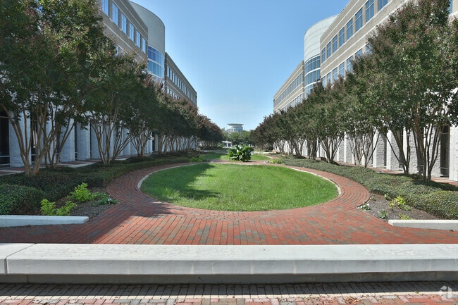
Property Record
Patewood Dr, Greenville, SC 29615


NEARBY LISTINGS FOR SALE OR LEASE
Property Detail
Patewood Dr
Greenville-Anderson-Mauldin, SC
MOB B BLDG ONLY
0543.02-01-011.04
Greenville
Medicalbuilding
South Carolina
X
011.04
45045C0402E
0.73 AC
2025
Pelham Road
2024
Greenville/Spartanburg
002804
DEMOGRAPHICS near Patewood Dr
1 Mile
3 Mile
5 Mile
2024 Total Population
6,538
67,374
181,146
2029 Population
7,194
74,226
200,135
Pop Growth 2024-2029
+ 10.03%
+ 10.17%
+ 10.48%
Average Age
39
39
40
2024 Total Households
3,349
29,770
78,870
HH Growth 2024-2029
+ 10.21%
+ 10.37%
+ 10.72%
Median Household Inc
$57,606
$67,470
$72,979
Avg Household Size
1.90
2.20
2.20
2024 Avg HH Vehicles
1.00
2.00
2.00
Median Home Value
$320,364
$304,212
$296,993
Median Year Built
1989
1983
1987
Nearby Places
Map Layers
Map Styles
 Street
 Aerial
- Restaurants
- Banks
- Shops
- Fitness
- Groceries
PUBLIC TRANSPORTATION
AIRPORT
Greenville Spartanburg International
DRIVE
WALK
Distance
Greenville Spartanburg International
16 min
9.0 mi
Nearby Properties
Address
Land Use
TOTAL SIZE
Lot Size
Zoning
Address
Land Use
TOTAL SIZE
Lot Size
Zoning
17.56 AC
C3
Address
Land Use
TOTAL SIZE
Lot Size
Zoning
14.41 AC
RM2
Address
Land Use
TOTAL SIZE
Lot Size
Zoning
18.50 AC
RS
Address
Land Use
TOTAL SIZE
Lot Size
Zoning
11.99 AC
RM2
Address
Land Use
TOTAL SIZE
Lot Size
Zoning
12.11 AC
C2
Address
Land Use
TOTAL SIZE
Lot Size
Zoning
1.43 AC
OD
Address
Land Use
TOTAL SIZE
Lot Size
Zoning
11.82 AC
RM2
Address
Land Use
TOTAL SIZE
Lot Size
Zoning
17.07 AC
S1
Address
Land Use
TOTAL SIZE
Lot Size
Zoning
20.63 AC
S1
Address
Land Use
TOTAL SIZE
Lot Size
Zoning
26.10 AC
C3
Address
Land Use
TOTAL SIZE
Lot Size
Zoning
8.94 AC
RM2
Address
Land Use
TOTAL SIZE
Lot Size
Zoning
10.07 AC
S1
Address
Land Use
TOTAL SIZE
Lot Size
Zoning
1.09 AC
OD
Address
Land Use
TOTAL SIZE
Lot Size
Zoning
0.47 AC
OD
Address
Land Use
TOTAL SIZE
Lot Size
Zoning
9.13 AC
RM2
Address
Land Use
TOTAL SIZE
Lot Size
Zoning
10 AC
RM
Address
Land Use
TOTAL SIZE
Lot Size
Zoning
10.59 AC
RM2
Address
Land Use
TOTAL SIZE
Lot Size
Zoning
223.09 AC
I1
Address
Land Use
TOTAL SIZE
Lot Size
Zoning
6.86 AC
S1
Address
Land Use
TOTAL SIZE
Lot Size
Zoning
10.29 AC
S1
Address
Land Use
TOTAL SIZE
Lot Size
Zoning
3.24 AC
S1
Address
Land Use
TOTAL SIZE
Lot Size
Zoning
5.61 AC
RM2
Address
Land Use
TOTAL SIZE
Lot Size
Zoning
3.38 AC
S1
Address
Land Use
TOTAL SIZE
Lot Size
Zoning
3.06 AC
C2
Address
Land Use
TOTAL SIZE
Lot Size
Zoning
32.02 AC
R6
Address
Land Use
TOTAL SIZE
Lot Size
Zoning
1.92 AC
S1
Address
Land Use
TOTAL SIZE
Lot Size
Zoning
6.97 AC
R12
Address
Land Use
TOTAL SIZE
Lot Size
Zoning
4.95 AC
C1
Address
Land Use
TOTAL SIZE
Lot Size
Zoning
4.67 AC
C3
The World's #1 Commercial Real Estate Marketplace
Connect with us
© 2026 CoStar Group
The information above has been obtained from sources believed reliable. While we do not doubt its accuracy we have not verified it and make no guarantee, warranty or representation about it. It is your responsibility to independently confirm its accuracy and completeness. Any projections, opinions, assumptions, or estimates used are for example only and do not represent the current or future performance of the property. The value of this transaction to you depends on tax and other factors which should be evaluated by your tax, financial, and legal advisors. You and your advisors should conduct a careful, independent investigation of the property to determine to your satisfaction the suitability of the property for your needs.