Property Record
Patterson Rd, Bay City, MI 48706


NEARBY LISTINGS FOR SALE OR LEASE
Property Detail
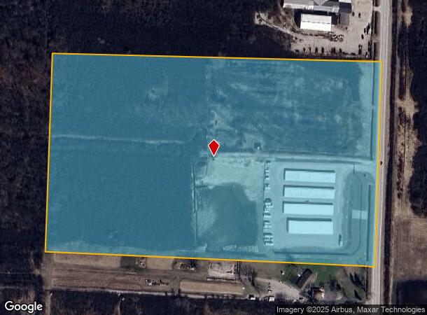
Patterson Rd
09-010-004-400-020-00
THE S 25 A OF N 45 A OF E 1/2 OF SE 1/4. SEC 4 T14N R5E
Commercialacreage
Bay
AE
Michigan
26017C0219F
25 AC
2024
Midland/Flint
2025
Other Market Areas
285800
Bay City, MI
DEMOGRAPHICS near Patterson Rd
1 Mile
3 Mile
5 Mile
2024 Total Population
1,419
23,202
60,744
2029 Population
1,422
23,001
60,401
Pop Growth 2024-2029
+ 0.21%
(0.87%)
(0.56%)
Average Age
48
43
43
2024 Total Households
661
10,045
26,879
HH Growth 2024-2029
+ 0.15%
(0.96%)
(0.58%)
Median Household Inc
$38,423
$52,983
$49,384
Avg Household Size
2.00
2.20
2.20
2024 Avg HH Vehicles
2.00
2.00
2.00
Median Home Value
$146,825
$95,627
$95,691
Median Year Built
1973
1957
1956
Nearby Places
Map Layers
Map Styles
 Street
 Aerial
- Restaurants
- Banks
- Shops
- Fitness
- Groceries
PUBLIC TRANSPORTATION
AIRPORT
MBS International
DRIVE
WALK
Distance
MBS International
30 min
18.5 mi
Freight Ports
Port of Toledo
DRIVE
WALK
Distance
Port of Toledo
190 min
163.1 mi
SALE & LEASE HISTORY
LISTING DATE
SALE/LEASE

Jun 17, 2024
For Sale
Nearby Properties
Address
Land Use
TOTAL SIZE
Lot Size
Zoning
Address
Land Use
TOTAL SIZE
Lot Size
Zoning
536,802 SF
450 AC
I-2
Address
Land Use
TOTAL SIZE
Lot Size
Zoning
16.52 AC
R-3
Address
Land Use
TOTAL SIZE
Lot Size
Zoning
167,100 SF
35.59 AC
M-2 GEN IN
Address
Land Use
TOTAL SIZE
Lot Size
Zoning
169,440 SF
16.54 AC
RM-1
Address
Land Use
TOTAL SIZE
Lot Size
Zoning
41,011 SF
8.28 AC
C-2
Address
Land Use
TOTAL SIZE
Lot Size
Zoning
73.75 AC
Address
Land Use
TOTAL SIZE
Lot Size
Zoning
Address
Land Use
TOTAL SIZE
Lot Size
Zoning
45,072 SF
4.81 AC
C-2B HWY B
Address
Land Use
TOTAL SIZE
Lot Size
Zoning
73.75 AC
Address
Land Use
TOTAL SIZE
Lot Size
Zoning
156,600 SF
9.11 AC
M-1 LT IND
Address
Land Use
TOTAL SIZE
Lot Size
Zoning
163,673 SF
17.85 AC
RM-1
Address
Land Use
TOTAL SIZE
Lot Size
Zoning
107,921 SF
10.91 AC
C-2
Address
Land Use
TOTAL SIZE
Lot Size
Zoning
85,264 SF
5 AC
RM-1
Address
Land Use
TOTAL SIZE
Lot Size
Zoning
36,243 SF
3.41 AC
C-2
Address
Land Use
TOTAL SIZE
Lot Size
Zoning
109,649 SF
11.29 AC
C-2
Address
Land Use
TOTAL SIZE
Lot Size
Zoning
73.75 AC
Address
Land Use
TOTAL SIZE
Lot Size
Zoning
60,889 SF
Address
Land Use
TOTAL SIZE
Lot Size
Zoning
472,836 SF
33.72 AC
C-2
Address
Land Use
TOTAL SIZE
Lot Size
Zoning
48.55 AC
M-2 GEN IN
Address
Land Use
TOTAL SIZE
Lot Size
Zoning
37,230 SF
10.03 AC
C-2
Address
Land Use
TOTAL SIZE
Lot Size
Zoning
37,730 SF
7.66 AC
RM-1
Address
Land Use
TOTAL SIZE
Lot Size
Zoning
41,252 SF
13.57 AC
C-2
Address
Land Use
TOTAL SIZE
Lot Size
Zoning
82,983 SF
9.18 AC
C-2
Address
Land Use
TOTAL SIZE
Lot Size
Zoning
97,880 SF
10.35 AC
C-2
Address
Land Use
TOTAL SIZE
Lot Size
Zoning
125,948 SF
24.53 AC
I-2
Address
Land Use
TOTAL SIZE
Lot Size
Zoning
53,792 SF
7.27 AC
C-2
Address
Land Use
TOTAL SIZE
Lot Size
Zoning
17,005 SF
2.13 AC
C-2
Address
Land Use
TOTAL SIZE
Lot Size
Zoning
165,099 SF
31.46 AC
C-2
Address
Land Use
TOTAL SIZE
Lot Size
Zoning
15,552 SF
1.85 AC
C-2B HWY B
Address
Land Use
TOTAL SIZE
Lot Size
Zoning
21,432 SF
2.06 AC
C-2B HWY B
The World's #1 Commercial Real Estate Marketplace
Connect with us
© 2025 CoStar Group
The information above has been obtained from sources believed reliable. While we do not doubt its accuracy we have not verified it and make no guarantee, warranty or representation about it. It is your responsibility to independently confirm its accuracy and completeness. Any projections, opinions, assumptions, or estimates used are for example only and do not represent the current or future performance of the property. The value of this transaction to you depends on tax and other factors which should be evaluated by your tax, financial, and legal advisors. You and your advisors should conduct a careful, independent investigation of the property to determine to your satisfaction the suitability of the property for your needs.