Property Record
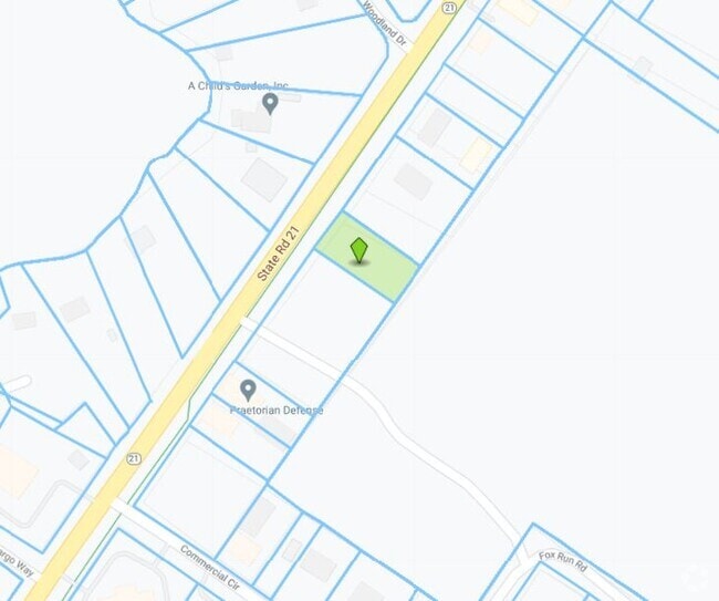
Pembroke St, Keystone Heights, FL 32656
NEARBY LISTINGS FOR SALE OR LEASE
Property Detail
Pembroke St
20-08-23-002168-000-00
PT OF NW1/4 S20T8R23 AS REC OR 4554 PG 1334
Miscellaneous
Clay
X
Florida
12001C0220E
13 AC
2024
Orange Park/Clay County
2025
Jacksonville (Florida)
031109
Jacksonville, FL
DEMOGRAPHICS near Pembroke St
1 Mile
3 Mile
5 Mile
2024 Total Population
2,990
11,461
18,123
2029 Population
3,290
12,512
19,797
Pop Growth 2024-2029
+ 10.03%
+ 9.17%
+ 9.24%
Average Age
42
43
44
2024 Total Households
1,157
4,557
7,279
HH Growth 2024-2029
+ 10.29%
+ 8.98%
+ 9.00%
Median Household Inc
$48,554
$52,310
$57,814
Avg Household Size
2.50
2.50
2.50
2024 Avg HH Vehicles
2.00
2.00
2.00
Median Home Value
$211,728
$192,191
$195,939
Median Year Built
1979
1981
1984
Nearby Places
Map Layers
Map Styles
 Street
 Aerial
- Restaurants
- Banks
- Shops
- Fitness
- Groceries
PUBLIC TRANSPORTATION
AIRPORT
Gainesville Regional
DRIVE
WALK
Distance
Gainesville Regional
39 min
23.2 mi
Freight Ports
Jacksonville Port
DRIVE
WALK
Distance
Jacksonville Port
85 min
56.3 mi
Nearby Properties
Address
Land Use
TOTAL SIZE
Lot Size
Zoning
Address
Land Use
TOTAL SIZE
Lot Size
Zoning
56,278 SF
39.66 AC
Address
Land Use
TOTAL SIZE
Lot Size
Zoning
68,670 SF
10 AC
Address
Land Use
TOTAL SIZE
Lot Size
Zoning
116,370 SF
23.88 AC
PS-5
Address
Land Use
TOTAL SIZE
Lot Size
Zoning
52,626 SF
28.21 AC
Address
Land Use
TOTAL SIZE
Lot Size
Zoning
61,803 SF
18.29 AC
Address
Land Use
TOTAL SIZE
Lot Size
Zoning
60,351 SF
11.59 AC
Address
Land Use
TOTAL SIZE
Lot Size
Zoning
123,219 SF
121 AC
Address
Land Use
TOTAL SIZE
Lot Size
Zoning
42,928 SF
4.69 AC
Address
Land Use
TOTAL SIZE
Lot Size
Zoning
26,203 SF
0.80 AC
Address
Land Use
TOTAL SIZE
Lot Size
Zoning
22,485 SF
110 AC
Address
Land Use
TOTAL SIZE
Lot Size
Zoning
36,867 SF
127 AC
Address
Land Use
TOTAL SIZE
Lot Size
Zoning
43,696 SF
14.90 AC
Address
Land Use
TOTAL SIZE
Lot Size
Zoning
21,704 SF
8.45 AC
Address
Land Use
TOTAL SIZE
Lot Size
Zoning
14,736 SF
2.13 AC
Address
Land Use
TOTAL SIZE
Lot Size
Zoning
8,266 SF
1.20 AC
Address
Land Use
TOTAL SIZE
Lot Size
Zoning
13,000 SF
2.24 AC
RB
Address
Land Use
TOTAL SIZE
Lot Size
Zoning
10,115 SF
0.92 AC
PO-1
Address
Land Use
TOTAL SIZE
Lot Size
Zoning
33,258 SF
5.34 AC
Address
Land Use
TOTAL SIZE
Lot Size
Zoning
Address
Land Use
TOTAL SIZE
Lot Size
Zoning
25,442 SF
36.61 AC
Address
Land Use
TOTAL SIZE
Lot Size
Zoning
2,485 SF
2.43 AC
Address
Land Use
TOTAL SIZE
Lot Size
Zoning
4,625 SF
1.84 AC
Address
Land Use
TOTAL SIZE
Lot Size
Zoning
492.81 AC
Address
Land Use
TOTAL SIZE
Lot Size
Zoning
3,133 SF
1.65 AC
Address
Land Use
TOTAL SIZE
Lot Size
Zoning
7,532 SF
1.06 AC
Address
Land Use
TOTAL SIZE
Lot Size
Zoning
20,001 SF
1.47 AC
Address
Land Use
TOTAL SIZE
Lot Size
Zoning
415.10 AC
AR
Address
Land Use
TOTAL SIZE
Lot Size
Zoning
16,993 SF
5.39 AC
Address
Land Use
TOTAL SIZE
Lot Size
Zoning
15,800 SF
2.47 AC
Address
Land Use
TOTAL SIZE
Lot Size
Zoning
1,782 SF
1.09 AC
The World's #1 Commercial Real Estate Marketplace
Connect with us
© 2025 CoStar Group
The information above has been obtained from sources believed reliable. While we do not doubt its accuracy we have not verified it and make no guarantee, warranty or representation about it. It is your responsibility to independently confirm its accuracy and completeness. Any projections, opinions, assumptions, or estimates used are for example only and do not represent the current or future performance of the property. The value of this transaction to you depends on tax and other factors which should be evaluated by your tax, financial, and legal advisors. You and your advisors should conduct a careful, independent investigation of the property to determine to your satisfaction the suitability of the property for your needs.