Property Record
Pendleton Hill Rd, North Stonington, CT 06359

Save to a Folder
{{folder.Name}}
{{folder.ListingIds.length}} Properties
{{folder.ListingIds.length}} Property
Create a New Folder
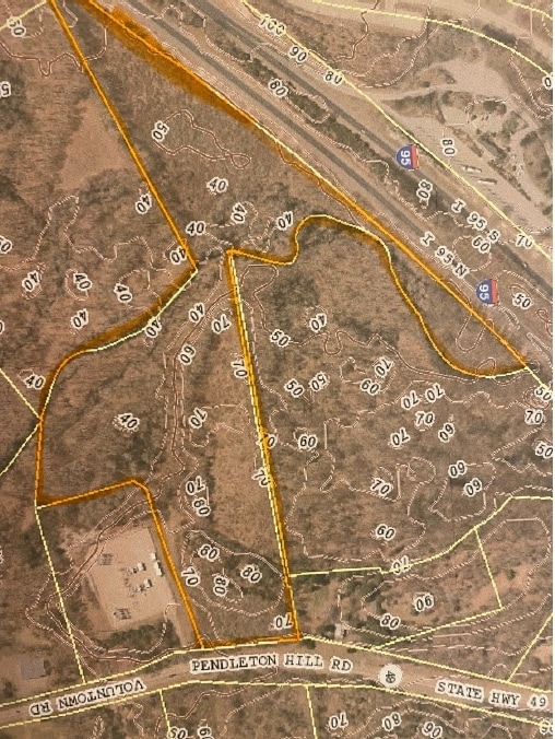
Property Detail
Pendleton Hill Rd
NSTO-000126-000000-003644
NEW LONDON
Timberlandforesttreesagricultural
Connecticut
EDD
3644
B and X Area of moderate flood hazard, usually the area between the limits of the 100-year and 500-year floods.
26.51 AC
2025
SE New London
2025
Hartford
707100
Norwich-New London-Willimantic, CT
NEARBY LISTINGS FOR SALE OR LEASE
DEMOGRAPHICS near Pendleton Hill Rd
1 mile
3 mile
5 mile
2025 Total Population
566
15,367
29,801
2030 Population
565
14,989
29,261
Pop Growth 2025-2030
(0.18%)
(2.46%)
(1.81%)
Average Age
44
43
44
2025 Total Households
218
6,560
12,775
HH Growth 2025-2030
0.00%
(2.87%)
(2.18%)
Median Household Inc
$111,538
$78,486
$87,070
Avg Household Size
2.60
2.30
2.30
2025 Avg HH Vehicles
2.00
2.00
2.00
Median Home Value
$456,060
$396,114
$402,868
Median Year Built
1982
1965
1967
Nearby Places
Map Layers
Map Styles
 Street
 Aerial
Layers
 Traffic
 Biking
Places
Listings with unknown addresses are not visible on the map
- Restaurants
- Banks
- Shops
- Fitness
- Groceries
PUBLIC TRANSPORTATION
COMMUTER RAIL
Westerly Amtrak Station (Northeast Regional - Amtrak)
Drive
Walk
Distance
Westerly Amtrak Station (Northeast Regional - Amtrak)
13 min
8.9 mi
Freight Ports
Port of Davisville, RI
Drive
Walk
Distance
Port of Davisville, RI
49 min
36.0 mi
SALE & LEASE HISTORY
LISTING DATE
SALE/LEASE

Jun 09, 2020
For Sale
Nearby Properties
Address
Land Use
TOTAL SIZE
Lot Size
Zoning
Address
Land Use
TOTAL SIZE
Lot Size
Zoning
58,752 SF
3.88 AC
R60
Address
Land Use
TOTAL SIZE
Lot Size
Zoning
96,882 SF
13.12 AC
Address
Land Use
TOTAL SIZE
Lot Size
Zoning
14.71 AC
Address
Land Use
TOTAL SIZE
Lot Size
Zoning
66,003 SF
44.50 AC
GBR-13
Address
Land Use
TOTAL SIZE
Lot Size
Zoning
0.55 AC
Address
Land Use
TOTAL SIZE
Lot Size
Zoning
55,521 SF
37.62 AC
R60
Address
Land Use
TOTAL SIZE
Lot Size
Zoning
46,532 SF
7.67 AC
R40
Address
Land Use
TOTAL SIZE
Lot Size
Zoning
5,055 SF
24.56 AC
GBR-13
Address
Land Use
TOTAL SIZE
Lot Size
Zoning
40,943 SF
25.78 AC
Address
Land Use
TOTAL SIZE
Lot Size
Zoning
40,705 SF
1.07 AC
Address
Land Use
TOTAL SIZE
Lot Size
Zoning
64,166 SF
12 AC
HI-60
Address
Land Use
TOTAL SIZE
Lot Size
Zoning
46,362 SF
7.43 AC
Address
Land Use
TOTAL SIZE
Lot Size
Zoning
3,000 SF
50.36 AC
HI-60
Address
Land Use
TOTAL SIZE
Lot Size
Zoning
31,288 SF
2.30 AC
Address
Land Use
TOTAL SIZE
Lot Size
Zoning
100,124 SF
14.28 AC
EDD
Address
Land Use
TOTAL SIZE
Lot Size
Zoning
25,252 SF
3.87 AC
CS-5
Address
Land Use
TOTAL SIZE
Lot Size
Zoning
23,642 SF
0.26 AC
Address
Land Use
TOTAL SIZE
Lot Size
Zoning
40.46 AC
I
Address
Land Use
TOTAL SIZE
Lot Size
Zoning
15,736 SF
15.75 AC
RA-15
Address
Land Use
TOTAL SIZE
Lot Size
Zoning
2.17 AC
Address
Land Use
TOTAL SIZE
Lot Size
Zoning
2.23 AC
Address
Land Use
TOTAL SIZE
Lot Size
Zoning
47,657 SF
10.90 AC
GC-60
Address
Land Use
TOTAL SIZE
Lot Size
Zoning
13,509 SF
8 AC
R40
Address
Land Use
TOTAL SIZE
Lot Size
Zoning
42,220 SF
4.05 AC
HI-60
Address
Land Use
TOTAL SIZE
Lot Size
Zoning
10,894 SF
3.50 AC
LS-5
Address
Land Use
TOTAL SIZE
Lot Size
Zoning
4.18 AC
HI-60
Address
Land Use
TOTAL SIZE
Lot Size
Zoning
15.35 AC
RA-40
Address
Land Use
TOTAL SIZE
Lot Size
Zoning
1,395 SF
3.05 AC
LS-5
Address
Land Use
TOTAL SIZE
Lot Size
Zoning
154.30 AC
GB-130
Address
Land Use
TOTAL SIZE
Lot Size
Zoning
10.22 AC
EDD
The World's #1 Commercial Real Estate Marketplace
Connect with us
© 2026 CoStar Group
The information above has been obtained from sources believed reliable. While we do not doubt its accuracy we have not verified it and make no guarantee, warranty or representation about it. It is your responsibility to independently confirm its accuracy and completeness. Any projections, opinions, assumptions, or estimates used are for example only and do not represent the current or future performance of the property. The value of this transaction to you depends on tax and other factors which should be evaluated by your tax, financial, and legal advisors. You and your advisors should conduct a careful, independent investigation of the property to determine to your satisfaction the suitability of the property for your needs.