Property Record
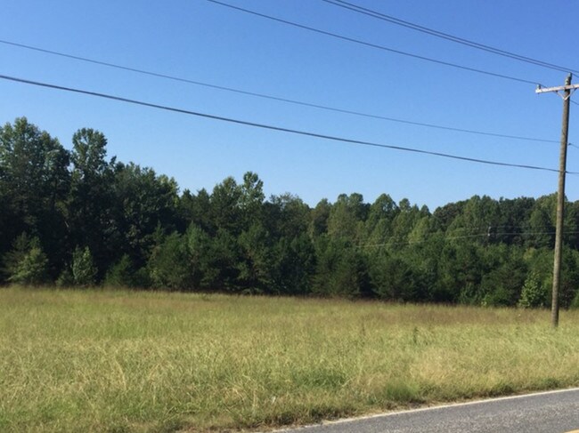
Perry Rd, Troutman, NC 28166


Property Detail
Perry Rd
Charlotte-Concord-Gastonia, NC-SC
MMLP SR 2371
4741-35-1631.000
IREDELL
Residentialacreage
North Carolina
RS
22.32 AC
2025
Iredell County
2025
Charlotte
061202
NEARBY LISTINGS FOR SALE OR LEASE
DEMOGRAPHICS near Perry Rd
1 mile
3 mile
5 mile
2025 Total Population
1,689
12,071
33,082
2030 Population
1,901
13,410
36,503
Pop Growth 2025-2030
+ 12.55%
+ 11.09%
+ 10.34%
Average Age
42
42
41
2025 Total Households
659
4,763
12,570
HH Growth 2025-2030
+ 12.75%
+ 11.17%
+ 10.44%
Median Household Inc
$74,753
$81,432
$84,271
Avg Household Size
2.40
2.50
2.60
2025 Avg HH Vehicles
2.00
2.00
2.00
Median Home Value
$351,219
$363,541
$341,990
Median Year Built
2003
2003
2000
Nearby Places
Map Layers
Map Styles
 Street
 Aerial
Transit
 Traffic
 Biking
Places
Listings with unknown addresses are not visible on the map
- Restaurants
- Banks
- Shops
- Fitness
- Groceries
PUBLIC TRANSPORTATION
AIRPORT
Concord-Padgett Regional
Drive
Walk
Distance
Concord-Padgett Regional
43 min
32.9 mi
Freight Ports
Port of Wilmington
Drive
Walk
Distance
Port of Wilmington
287 min
231.9 mi
SALE & LEASE HISTORY
LISTING DATE
SALE/LEASE

Feb 21, 2019
For Sale
Nearby Properties
Address
Land Use
TOTAL SIZE
Lot Size
Zoning
Address
Land Use
TOTAL SIZE
Lot Size
Zoning
977,725 SF
158.32 AC
HI
Address
Land Use
TOTAL SIZE
Lot Size
Zoning
798,000 SF
84.27 AC
HI
Address
Land Use
TOTAL SIZE
Lot Size
Zoning
11,856 SF
20.01 AC
GB
Address
Land Use
TOTAL SIZE
Lot Size
Zoning
311,280 SF
22.25 AC
HB
Address
Land Use
TOTAL SIZE
Lot Size
Zoning
298,244 SF
27.29 AC
HI
Address
Land Use
TOTAL SIZE
Lot Size
Zoning
78,974 SF
38.79 AC
RT
Address
Land Use
TOTAL SIZE
Lot Size
Zoning
91,950 SF
Address
Land Use
TOTAL SIZE
Lot Size
Zoning
168,280 SF
36.55 AC
HI
Address
Land Use
TOTAL SIZE
Lot Size
Zoning
185,816 SF
17.07 AC
HB
Address
Land Use
TOTAL SIZE
Lot Size
Zoning
87,047 SF
7.29 AC
HI
Address
Land Use
TOTAL SIZE
Lot Size
Zoning
4,391 SF
70.91 AC
OI
Address
Land Use
TOTAL SIZE
Lot Size
Zoning
4,391 SF
70.91 AC
OI
Address
Land Use
TOTAL SIZE
Lot Size
Zoning
47,142 SF
13.59 AC
HI
Address
Land Use
TOTAL SIZE
Lot Size
Zoning
157,371 SF
49.56 AC
HI
Address
Land Use
TOTAL SIZE
Lot Size
Zoning
411,326 SF
19.18 AC
HI
Address
Land Use
TOTAL SIZE
Lot Size
Zoning
54,944 SF
4.64 AC
GB-CD
Address
Land Use
TOTAL SIZE
Lot Size
Zoning
30,072 SF
9.08 AC
CB
Address
Land Use
TOTAL SIZE
Lot Size
Zoning
93,798 SF
6.82 AC
HI
Address
Land Use
TOTAL SIZE
Lot Size
Zoning
98,400 SF
6.10 AC
HB
Address
Land Use
TOTAL SIZE
Lot Size
Zoning
24,000 SF
7.51 AC
RR
Address
Land Use
TOTAL SIZE
Lot Size
Zoning
1,065 SF
384.38 AC
MU
Address
Land Use
TOTAL SIZE
Lot Size
Zoning
1,065 SF
384.38 AC
MU
Address
Land Use
TOTAL SIZE
Lot Size
Zoning
70,674 SF
8.73 AC
HB
Address
Land Use
TOTAL SIZE
Lot Size
Zoning
30,271 SF
16 AC
RA
Address
Land Use
TOTAL SIZE
Lot Size
Zoning
21,093 SF
21.70 AC
RA
Address
Land Use
TOTAL SIZE
Lot Size
Zoning
20,502 SF
0.89 AC
CB
Address
Land Use
TOTAL SIZE
Lot Size
Zoning
36,534 SF
5.18 AC
RT
Address
Land Use
TOTAL SIZE
Lot Size
Zoning
50,288 SF
10 AC
HI
Address
Land Use
TOTAL SIZE
Lot Size
Zoning
36,002 SF
9.19 AC
HB
Address
Land Use
TOTAL SIZE
Lot Size
Zoning
64.61 AC
CZHI
The World's #1 Commercial Real Estate Marketplace
Connect with us
© 2026 CoStar Group
The information above has been obtained from sources believed reliable. While we do not doubt its accuracy we have not verified it and make no guarantee, warranty or representation about it. It is your responsibility to independently confirm its accuracy and completeness. Any projections, opinions, assumptions, or estimates used are for example only and do not represent the current or future performance of the property. The value of this transaction to you depends on tax and other factors which should be evaluated by your tax, financial, and legal advisors. You and your advisors should conduct a careful, independent investigation of the property to determine to your satisfaction the suitability of the property for your needs.