Property Record
Piedmont Hwy, Piedmont, SC 29673


NEARBY LISTINGS FOR SALE OR LEASE
Property Detail
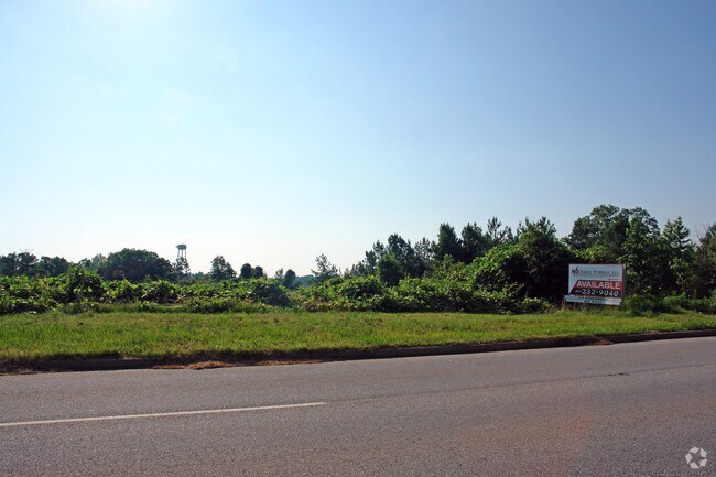
Piedmont Hwy
Greenville-Anderson-Greer, SC
MAP 0608.04
0608.04-01-003.08
Greenville
Residentialacreage
South Carolina
X
003.08
45045C0393E
47 AC
2025
Western Greenville County
2024
Greenville/Spartanburg
003301
DEMOGRAPHICS near Piedmont Hwy
1 Mile
3 Mile
5 Mile
2024 Total Population
1,252
19,476
71,320
2029 Population
1,389
21,551
78,303
Pop Growth 2024-2029
+ 10.94%
+ 10.65%
+ 9.79%
Average Age
39
38
38
2024 Total Households
497
7,310
27,738
HH Growth 2024-2029
+ 10.87%
+ 10.63%
+ 9.85%
Median Household Inc
$46,964
$40,228
$54,788
Avg Household Size
2.50
2.60
2.50
2024 Avg HH Vehicles
2.00
2.00
2.00
Median Home Value
$83,040
$137,751
$186,342
Median Year Built
1977
1983
1979
Nearby Places
Map Layers
Map Styles
 Street
 Aerial
- Restaurants
- Banks
- Shops
- Fitness
- Groceries
PUBLIC TRANSPORTATION
COMMUTER RAIL
Greenville Amtrak Station (Crescent - Amtrak)
DRIVE
WALK
Distance
Greenville Amtrak Station (Crescent - Amtrak)
17 min
8.1 mi
AIRPORT
Greenville Spartanburg International
DRIVE
WALK
Distance
Greenville Spartanburg International
28 min
17.8 mi
Freight Ports
North Charleston Terminal
DRIVE
WALK
Distance
North Charleston Terminal
229 min
203.2 mi
SALE & LEASE HISTORY
LISTING DATE
SALE/LEASE

Sep 24, 2016
For Sale
Nov 24, 2020
For Sale
Jun 04, 2018
For Sale
Feb 19, 2019
For Sale
Nearby Properties
Address
Land Use
TOTAL SIZE
Lot Size
Zoning
Address
Land Use
TOTAL SIZE
Lot Size
Zoning
78.04 AC
C2
Address
Land Use
TOTAL SIZE
Lot Size
Zoning
977.33 AC
I1
Address
Land Use
TOTAL SIZE
Lot Size
Zoning
46.07 AC
I2
Address
Land Use
TOTAL SIZE
Lot Size
Zoning
29.91 AC
Address
Land Use
TOTAL SIZE
Lot Size
Zoning
32.34 AC
Address
Land Use
TOTAL SIZE
Lot Size
Zoning
58.95 AC
Address
Land Use
TOTAL SIZE
Lot Size
Zoning
41.48 AC
I2
Address
Land Use
TOTAL SIZE
Lot Size
Zoning
12.87 AC
I2
Address
Land Use
TOTAL SIZE
Lot Size
Zoning
14.13 AC
Address
Land Use
TOTAL SIZE
Lot Size
Zoning
387.84 AC
S1
Address
Land Use
TOTAL SIZE
Lot Size
Zoning
31.52 AC
I2
Address
Land Use
TOTAL SIZE
Lot Size
Zoning
33.60 AC
I1
Address
Land Use
TOTAL SIZE
Lot Size
Zoning
13.52 AC
I2
Address
Land Use
TOTAL SIZE
Lot Size
Zoning
28.29 AC
I2
Address
Land Use
TOTAL SIZE
Lot Size
Zoning
12.41 AC
RS
Address
Land Use
TOTAL SIZE
Lot Size
Zoning
385.69 AC
R10
Address
Land Use
TOTAL SIZE
Lot Size
Zoning
6.30 AC
S1
Address
Land Use
TOTAL SIZE
Lot Size
Zoning
Address
Land Use
TOTAL SIZE
Lot Size
Zoning
16.09 AC
S1
Address
Land Use
TOTAL SIZE
Lot Size
Zoning
13.03 AC
S1
Address
Land Use
TOTAL SIZE
Lot Size
Zoning
14 AC
S1
Address
Land Use
TOTAL SIZE
Lot Size
Zoning
50 AC
I2
Address
Land Use
TOTAL SIZE
Lot Size
Zoning
128.50 AC
I1
Address
Land Use
TOTAL SIZE
Lot Size
Zoning
112.08 AC
S1
Address
Land Use
TOTAL SIZE
Lot Size
Zoning
5.50 AC
I1
Address
Land Use
TOTAL SIZE
Lot Size
Zoning
4.60 AC
S1
Address
Land Use
TOTAL SIZE
Lot Size
Zoning
23.10 AC
S1
Address
Land Use
TOTAL SIZE
Lot Size
Zoning
12.84 AC
S1
Address
Land Use
TOTAL SIZE
Lot Size
Zoning
5.90 AC
S1
Address
Land Use
TOTAL SIZE
Lot Size
Zoning
8.80 AC
I1
The World's #1 Commercial Real Estate Marketplace
Connect with us
© 2026 CoStar Group
The information above has been obtained from sources believed reliable. While we do not doubt its accuracy we have not verified it and make no guarantee, warranty or representation about it. It is your responsibility to independently confirm its accuracy and completeness. Any projections, opinions, assumptions, or estimates used are for example only and do not represent the current or future performance of the property. The value of this transaction to you depends on tax and other factors which should be evaluated by your tax, financial, and legal advisors. You and your advisors should conduct a careful, independent investigation of the property to determine to your satisfaction the suitability of the property for your needs.