Property Record
Plainfield Rd, Lebanon, NH 03766


NEARBY LISTINGS FOR SALE OR LEASE
Property Detail
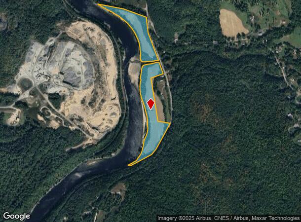
Plainfield Rd
LBAN-000131-000003
Grafton
Stateproperty
New Hampshire
X
24.50 AC
33009C1052E
Concord/New Hampshire North Area
0
Other Market Areas
2024
Lebanon-Claremont, NH-VT
961802
DEMOGRAPHICS near Plainfield Rd
1 mile
3 mile
5 mile
2024 Total Population
56
8,495
22,439
2029 Population
59
8,791
23,278
Pop Growth 2024-2029
+ 5.36%
+ 3.48%
+ 3.74%
Average Age
44
43
43
2024 Total Households
24
3,953
10,663
HH Growth 2024-2029
+ 4.17%
+ 3.29%
+ 3.67%
Median Household Inc
$112,500
$74,336
$81,887
Avg Household Size
2.30
2.10
2.00
2024 Avg HH Vehicles
2.00
2.00
2.00
Median Home Value
$450,000
$285,633
$281,577
Median Year Built
1981
1973
1979
Nearby Places
Map Layers
Map Styles
 Street
 Aerial
Transit
 Traffic
 Biking
Places
Listings with unknown addresses are not visible on the map
- Restaurants
- Banks
- Shops
- Fitness
- Groceries
PUBLIC TRANSPORTATION
COMMUTER RAIL
White River Junction Amtrak Station (Vermonter - Amtrak)
Drive
Walk
Distance
White River Junction Amtrak Station (Vermonter - Amtrak)
10 min
4.2 mi
Freight Ports
Albany, NY Port
Drive
Walk
Distance
Albany, NY Port
196 min
132.8 mi
Nearby Properties
Address
Land Use
TOTAL SIZE
Lot Size
Zoning
Address
Land Use
TOTAL SIZE
Lot Size
Zoning
447.50 AC
INDL
Address
Land Use
TOTAL SIZE
Lot Size
Zoning
29.80 AC
GC
Address
Land Use
TOTAL SIZE
Lot Size
Zoning
3.76 AC
GC
Address
Land Use
TOTAL SIZE
Lot Size
Zoning
14.11 AC
INDL
Address
Land Use
TOTAL SIZE
Lot Size
Zoning
22.14 AC
GC
Address
Land Use
TOTAL SIZE
Lot Size
Zoning
10.20 AC
R3
Address
Land Use
TOTAL SIZE
Lot Size
Zoning
22.88 AC
GC
Address
Land Use
TOTAL SIZE
Lot Size
Zoning
36.71 AC
GC
Address
Land Use
TOTAL SIZE
Lot Size
Zoning
20.61 AC
GC
Address
Land Use
TOTAL SIZE
Lot Size
Zoning
80,493 SF
7.39 AC
GC
Address
Land Use
TOTAL SIZE
Lot Size
Zoning
7.89 AC
GC
Address
Land Use
TOTAL SIZE
Lot Size
Zoning
7.63 AC
GC
Address
Land Use
TOTAL SIZE
Lot Size
Zoning
15.60 AC
GC
Address
Land Use
TOTAL SIZE
Lot Size
Zoning
44,695 SF
35.80 AC
HC
Address
Land Use
TOTAL SIZE
Lot Size
Zoning
163,990 SF
10.19 AC
INDL
Address
Land Use
TOTAL SIZE
Lot Size
Zoning
323.53 AC
INDH
Address
Land Use
TOTAL SIZE
Lot Size
Zoning
99.80 AC
INDH
Address
Land Use
TOTAL SIZE
Lot Size
Zoning
7.28 AC
GC
Address
Land Use
TOTAL SIZE
Lot Size
Zoning
102,489 SF
GC
Address
Land Use
TOTAL SIZE
Lot Size
Zoning
4.54 AC
GC
Address
Land Use
TOTAL SIZE
Lot Size
Zoning
7.88 AC
R2
Address
Land Use
TOTAL SIZE
Lot Size
Zoning
62,991 SF
7.38 AC
INDL
Address
Land Use
TOTAL SIZE
Lot Size
Zoning
Address
Land Use
TOTAL SIZE
Lot Size
Zoning
11.28 AC
IC2
Address
Land Use
TOTAL SIZE
Lot Size
Zoning
32,054 SF
4.74 AC
IC2
Address
Land Use
TOTAL SIZE
Lot Size
Zoning
30,137 SF
3.98 AC
IC2
Address
Land Use
TOTAL SIZE
Lot Size
Zoning
89,184 SF
11.19 AC
GC
Address
Land Use
TOTAL SIZE
Lot Size
Zoning
96,364 SF
4.65 AC
IC2
Address
Land Use
TOTAL SIZE
Lot Size
Zoning
52,120 SF
2.52 AC
IC2
Address
Land Use
TOTAL SIZE
Lot Size
Zoning
30,584 SF
3.47 AC
GC
The World's #1 Commercial Real Estate Marketplace
Connect with us
© 2026 CoStar Group
The information above has been obtained from sources believed reliable. While we do not doubt its accuracy we have not verified it and make no guarantee, warranty or representation about it. It is your responsibility to independently confirm its accuracy and completeness. Any projections, opinions, assumptions, or estimates used are for example only and do not represent the current or future performance of the property. The value of this transaction to you depends on tax and other factors which should be evaluated by your tax, financial, and legal advisors. You and your advisors should conduct a careful, independent investigation of the property to determine to your satisfaction the suitability of the property for your needs.