Property Record
183A Toll Rd N, Leander, TX 78641
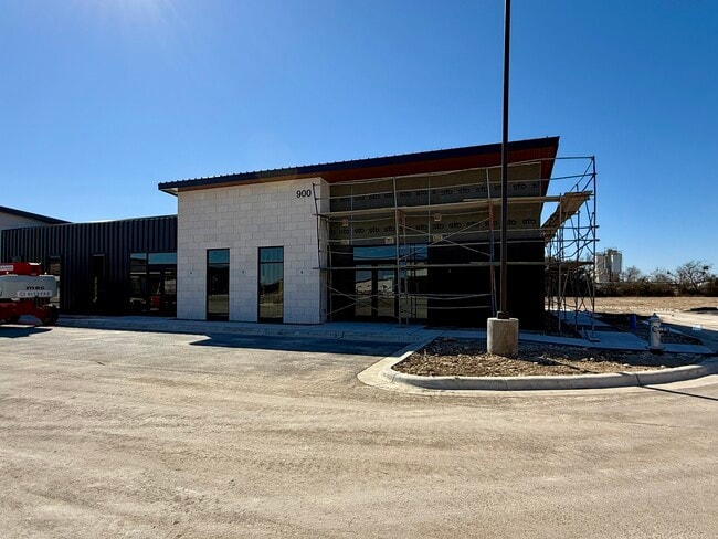

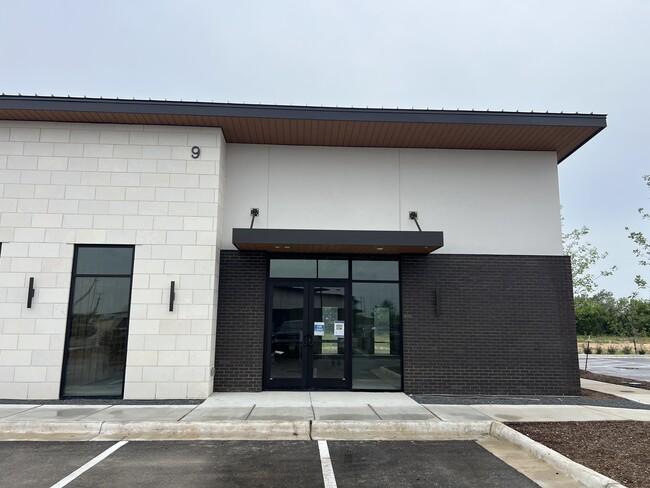
Property Detail
183A Toll Rd N
Austin-Round Rock-San Marcos, TX
CONDO REFERENCE ONLY - C773 - POINTE 183 PROFESSIONAL PARK CONDO, 5.52 ACRES, COMMON INT, (REF)
R638989
WILLIAMSON
Commercialnec
Texas
0
5.52 AC
2025
Georgetown
020338
Austin
NEARBY LISTINGS FOR SALE OR LEASE
DEMOGRAPHICS near 183A Toll Rd N
1 mile
3 mile
5 mile
2025 Total Population
6,819
57,388
123,618
2030 Population
8,137
67,718
144,195
Pop Growth 2025-2030
+ 19.33%
+ 18.00%
+ 16.65%
Average Age
36
36
36
2025 Total Households
2,490
19,884
42,383
HH Growth 2025-2030
+ 19.72%
+ 18.45%
+ 17.11%
Median Household Inc
$140,777
$123,373
$131,200
Avg Household Size
2.70
2.90
2.90
2025 Avg HH Vehicles
2.00
2.00
2.00
Median Home Value
$495,280
$462,975
$476,918
Median Year Built
2011
2010
2010
Nearby Places
Map Layers
Map Styles
 Street
 Aerial
Transit
 Traffic
 Biking
Places
Listings with unknown addresses are not visible on the map
- Restaurants
- Banks
- Shops
- Fitness
- Groceries
PUBLIC TRANSPORTATION
AIRPORT
Austin-Bergstrom International
Drive
Walk
Distance
Austin-Bergstrom International
49 min
37.7 mi
Robert Gray AAF
Drive
Walk
Distance
Robert Gray AAF
60 min
39.2 mi
Killeen Municipal
Drive
Walk
Distance
Killeen Municipal
59 min
45.2 mi
SALE & LEASE HISTORY
LISTING DATE
SALE/LEASE

Nov 18, 2024
For Sale
Dec 04, 2024
For Lease
Nearby Properties
Address
Land Use
TOTAL SIZE
Lot Size
Zoning
Address
Land Use
TOTAL SIZE
Lot Size
Zoning
435,000 SF
88.70 AC
Address
Land Use
TOTAL SIZE
Lot Size
Zoning
106,000 SF
72.51 AC
Address
Land Use
TOTAL SIZE
Lot Size
Zoning
341,700 SF
17.71 AC
Address
Land Use
TOTAL SIZE
Lot Size
Zoning
1 SF
138.94 AC
Address
Land Use
TOTAL SIZE
Lot Size
Zoning
287,118 SF
9.26 AC
Address
Land Use
TOTAL SIZE
Lot Size
Zoning
327,784 SF
22.95 AC
Address
Land Use
TOTAL SIZE
Lot Size
Zoning
325,045 SF
11.40 AC
Address
Land Use
TOTAL SIZE
Lot Size
Zoning
310,297 SF
15.01 AC
Address
Land Use
TOTAL SIZE
Lot Size
Zoning
31.42 AC
Address
Land Use
TOTAL SIZE
Lot Size
Zoning
285,365 SF
12.24 AC
Address
Land Use
TOTAL SIZE
Lot Size
Zoning
246,060 SF
9.30 AC
Address
Land Use
TOTAL SIZE
Lot Size
Zoning
249,826 SF
37.40 AC
Address
Land Use
TOTAL SIZE
Lot Size
Zoning
238,420 SF
13.72 AC
Address
Land Use
TOTAL SIZE
Lot Size
Zoning
312,374 SF
15.77 AC
Address
Land Use
TOTAL SIZE
Lot Size
Zoning
117,076 SF
15.51 AC
Address
Land Use
TOTAL SIZE
Lot Size
Zoning
238,343 SF
12.08 AC
Address
Land Use
TOTAL SIZE
Lot Size
Zoning
234,214 SF
19.63 AC
Address
Land Use
TOTAL SIZE
Lot Size
Zoning
195,426 SF
12.11 AC
Address
Land Use
TOTAL SIZE
Lot Size
Zoning
232,172 SF
10.43 AC
Address
Land Use
TOTAL SIZE
Lot Size
Zoning
341,700 SF
9.90 AC
Address
Land Use
TOTAL SIZE
Lot Size
Zoning
193,600 SF
70.78 AC
Address
Land Use
TOTAL SIZE
Lot Size
Zoning
193,011 SF
8.91 AC
Address
Land Use
TOTAL SIZE
Lot Size
Zoning
229,977 SF
16.85 AC
Address
Land Use
TOTAL SIZE
Lot Size
Zoning
194,695 SF
9.56 AC
Address
Land Use
TOTAL SIZE
Lot Size
Zoning
191,654 SF
4.57 AC
2-LI
Address
Land Use
TOTAL SIZE
Lot Size
Zoning
194,695 SF
5.09 AC
Address
Land Use
TOTAL SIZE
Lot Size
Zoning
256,008 SF
15.88 AC
Address
Land Use
TOTAL SIZE
Lot Size
Zoning
175,521 SF
14.76 AC
Address
Land Use
TOTAL SIZE
Lot Size
Zoning
193,864 SF
11.22 AC
Address
Land Use
TOTAL SIZE
Lot Size
Zoning
20.47 AC
The World's #1 Commercial Real Estate Marketplace
Connect with us
© 2026 CoStar Group
The information above has been obtained from sources believed reliable. While we do not doubt its accuracy we have not verified it and make no guarantee, warranty or representation about it. It is your responsibility to independently confirm its accuracy and completeness. Any projections, opinions, assumptions, or estimates used are for example only and do not represent the current or future performance of the property. The value of this transaction to you depends on tax and other factors which should be evaluated by your tax, financial, and legal advisors. You and your advisors should conduct a careful, independent investigation of the property to determine to your satisfaction the suitability of the property for your needs.