Property Record
Polenta Rd, , NC

Property Detail
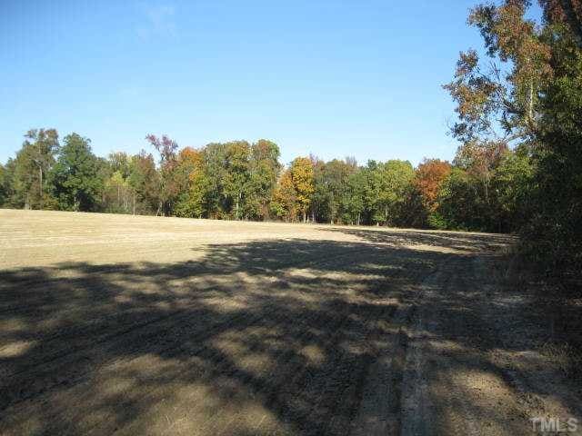
Polenta Rd
06G06014C
67/384 165500-146
Vacantlandnec
JOHNSTON
RAG
North Carolina
B and X Area of moderate flood hazard, usually the area between the limits of the 100-year and 500-year floods.
72.01 AC
2025
Johnston County
2025
Raleigh/Durham
041106
Raleigh-Cary, NC
NEARBY LISTINGS FOR SALE OR LEASE
-
-
View all listings for sale on LoopNet.com
DEMOGRAPHICS near Polenta Rd
1 mile
3 mile
5 mile
2025 Total Population
1,882
19,242
46,228
2030 Population
2,115
21,394
51,471
Pop Growth 2025-2030
+ 12.38%
+ 11.18%
+ 11.34%
Average Age
37
38
38
2025 Total Households
649
6,597
16,298
HH Growth 2025-2030
+ 12.48%
+ 11.26%
+ 11.40%
Median Household Inc
$116,037
$103,258
$96,892
Avg Household Size
2.80
2.90
2.80
2025 Avg HH Vehicles
2.00
2.00
2.00
Median Home Value
$395,069
$366,634
$354,021
Median Year Built
2010
2004
2003
Nearby Places
Map Layers
Map Styles
 Street
 Aerial
Transit
 Traffic
 Biking
Places
Listings with unknown addresses are not visible on the map
- Restaurants
- Banks
- Shops
- Fitness
- Groceries
PUBLIC TRANSPORTATION
AIRPORT
Raleigh-Durham International
Drive
Walk
Distance
Raleigh-Durham International
48 min
36.3 mi
Freight Ports
Port of Wilmington
Drive
Walk
Distance
Port of Wilmington
137 min
117.4 mi
Nearby Properties
Address
Land Use
TOTAL SIZE
Lot Size
Zoning
Address
Land Use
TOTAL SIZE
Lot Size
Zoning
31,796 SF
97.40 AC
RAG
Address
Land Use
TOTAL SIZE
Lot Size
Zoning
21,936 SF
43.93 AC
RAG
Address
Land Use
TOTAL SIZE
Lot Size
Zoning
19,260 SF
33.17 AC
RAG
Address
Land Use
TOTAL SIZE
Lot Size
Zoning
16,312 SF
24.09 AC
RAG
Address
Land Use
TOTAL SIZE
Lot Size
Zoning
75,951 SF
103.81 AC
RAG
Address
Land Use
TOTAL SIZE
Lot Size
Zoning
33,705 SF
7.69 AC
COP
Address
Land Use
TOTAL SIZE
Lot Size
Zoning
124 AC
RES
Address
Land Use
TOTAL SIZE
Lot Size
Zoning
2,650 SF
1.99 AC
COM
Address
Land Use
TOTAL SIZE
Lot Size
Zoning
293.36 AC
RAG
Address
Land Use
TOTAL SIZE
Lot Size
Zoning
81.10 AC
RAG
Address
Land Use
TOTAL SIZE
Lot Size
Zoning
16,569 SF
5.29 AC
RAG
Address
Land Use
TOTAL SIZE
Lot Size
Zoning
86.57 AC
RAG
Address
Land Use
TOTAL SIZE
Lot Size
Zoning
209.23 AC
RAG
Address
Land Use
TOTAL SIZE
Lot Size
Zoning
7,647 SF
3.78 AC
RAG
Address
Land Use
TOTAL SIZE
Lot Size
Zoning
9,993 SF
1.43 AC
COM
Address
Land Use
TOTAL SIZE
Lot Size
Zoning
174.23 AC
RAG
Address
Land Use
TOTAL SIZE
Lot Size
Zoning
161.40 AC
RAG
Address
Land Use
TOTAL SIZE
Lot Size
Zoning
152.77 AC
RAG
Address
Land Use
TOTAL SIZE
Lot Size
Zoning
11,780 SF
4.90 AC
RAG
Address
Land Use
TOTAL SIZE
Lot Size
Zoning
326.41 AC
RAG
Address
Land Use
TOTAL SIZE
Lot Size
Zoning
162 AC
RAG
Address
Land Use
TOTAL SIZE
Lot Size
Zoning
2,772 SF
6.14 AC
COM
Address
Land Use
TOTAL SIZE
Lot Size
Zoning
95 AC
REB
Address
Land Use
TOTAL SIZE
Lot Size
Zoning
142.49 AC
RAG
Address
Land Use
TOTAL SIZE
Lot Size
Zoning
117.63 AC
RAG
Address
Land Use
TOTAL SIZE
Lot Size
Zoning
142.52 AC
RAG
Address
Land Use
TOTAL SIZE
Lot Size
Zoning
2,646 SF
36.12 AC
REB
Address
Land Use
TOTAL SIZE
Lot Size
Zoning
40,788 SF
1.76 AC
REB
Address
Land Use
TOTAL SIZE
Lot Size
Zoning
89.27 AC
RAG
Address
Land Use
TOTAL SIZE
Lot Size
Zoning
164.19 AC
RAG
The World's #1 Commercial Real Estate Marketplace
Connect with us
© 2026 CoStar Group
The information above has been obtained from sources believed reliable. While we do not doubt its accuracy we have not verified it and make no guarantee, warranty or representation about it. It is your responsibility to independently confirm its accuracy and completeness. Any projections, opinions, assumptions, or estimates used are for example only and do not represent the current or future performance of the property. The value of this transaction to you depends on tax and other factors which should be evaluated by your tax, financial, and legal advisors. You and your advisors should conduct a careful, independent investigation of the property to determine to your satisfaction the suitability of the property for your needs.