Property Record
Portion Rd, Ronkonkoma, NY 11779


Save to a Folder
{{folder.Name}}
{{folder.ListingIds.length}} Properties
{{folder.ListingIds.length}} Property
Create a New Folder
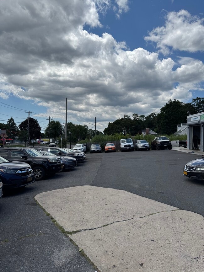
Property Detail
Portion Rd
Nassau County-Suffolk County, NY
N MAGGIORE E CLEARY RD S CR 16 S#5-
0200-689-00-02-00-019-002
SUFFOLK
Residentialacreage
New York
B and X Area of moderate flood hazard, usually the area between the limits of the 100-year and 500-year floods.
200
2024
0.26 AC
2025
Central Suffolk
158608
Long Island (New York)
NEARBY LISTINGS FOR SALE OR LEASE
DEMOGRAPHICS near Portion Rd
1 mile
3 mile
5 mile
2025 Total Population
11,650
91,353
229,407
2030 Population
11,489
90,763
228,182
Pop Growth 2025-2030
(1.38%)
(0.65%)
(0.53%)
Average Age
43
41
42
2025 Total Households
4,132
30,390
77,094
HH Growth 2025-2030
(1.77%)
(0.83%)
(0.76%)
Median Household Inc
$97,433
$128,501
$127,525
Avg Household Size
2.70
2.90
2.90
2025 Avg HH Vehicles
2.00
2.00
2.00
Median Home Value
$482,300
$578,123
$590,521
Median Year Built
1965
1970
1971
Nearby Places
Map Layers
Map Styles
 Street
 Aerial
Layers
 Traffic
 Biking
Places
Listings with unknown addresses are not visible on the map
- Restaurants
- Banks
- Shops
- Fitness
- Groceries
PUBLIC TRANSPORTATION
COMMUTER RAIL
Ronkonkoma (Ronkonkoma Branch - Long Island Rail Road)
Drive
Walk
Distance
Ronkonkoma (Ronkonkoma Branch - Long Island Rail Road)
6 min
2.5 mi
St. James (Port Jefferson Branch - Long Island Rail Road)
Drive
Walk
Distance
St. James (Port Jefferson Branch - Long Island Rail Road)
14 min
5.6 mi
AIRPORT
Long Island MacArthur
Drive
Walk
Distance
Long Island MacArthur
11 min
4.7 mi
Freight Ports
Port of New Haven
Drive
Walk
Distance
Port of New Haven
128 min
48.4 mi
SALE & LEASE HISTORY
LISTING DATE
SALE/LEASE

Jun 02, 2017
For Sale
Jul 30, 2025
For Sale
Aug 22, 2018
For Sale
Apr 28, 2017
For Sale
Nearby Properties
Address
Land Use
TOTAL SIZE
Lot Size
Zoning
Address
Land Use
TOTAL SIZE
Lot Size
Zoning
1,207.60 AC
Address
Land Use
TOTAL SIZE
Lot Size
Zoning
49.54 AC
CA
Address
Land Use
TOTAL SIZE
Lot Size
Zoning
95.19 AC
Address
Land Use
TOTAL SIZE
Lot Size
Zoning
51.59 AC
AA
Address
Land Use
TOTAL SIZE
Lot Size
Zoning
23.50 AC
AA
Address
Land Use
TOTAL SIZE
Lot Size
Zoning
23.08 AC
AA
Address
Land Use
TOTAL SIZE
Lot Size
Zoning
140.10 AC
Address
Land Use
TOTAL SIZE
Lot Size
Zoning
5.40 AC
ICD
Address
Land Use
TOTAL SIZE
Lot Size
Zoning
6.50 AC
GSE
Address
Land Use
TOTAL SIZE
Lot Size
Zoning
Address
Land Use
TOTAL SIZE
Lot Size
Zoning
15.80 AC
ICD
Address
Land Use
TOTAL SIZE
Lot Size
Zoning
12.20 AC
IND1
Address
Land Use
TOTAL SIZE
Lot Size
Zoning
10.99 AC
Address
Land Use
TOTAL SIZE
Lot Size
Zoning
6,486 SF
0.55 AC
VILLA
Address
Land Use
TOTAL SIZE
Lot Size
Zoning
8.60 AC
IND1
Address
Land Use
TOTAL SIZE
Lot Size
Zoning
16.30 AC
Address
Land Use
TOTAL SIZE
Lot Size
Zoning
4,320 SF
0.35 AC
B1
Address
Land Use
TOTAL SIZE
Lot Size
Zoning
8.67 AC
IND1
Address
Land Use
TOTAL SIZE
Lot Size
Zoning
6.12 AC
AA
Address
Land Use
TOTAL SIZE
Lot Size
Zoning
2.31 AC
IND1
Address
Land Use
TOTAL SIZE
Lot Size
Zoning
0.55 AC
VILLA
Address
Land Use
TOTAL SIZE
Lot Size
Zoning
7.33 AC
Address
Land Use
TOTAL SIZE
Lot Size
Zoning
10.60 AC
A
Address
Land Use
TOTAL SIZE
Lot Size
Zoning
32.41 AC
AA
Address
Land Use
TOTAL SIZE
Lot Size
Zoning
9.30 AC
IND1
Address
Land Use
TOTAL SIZE
Lot Size
Zoning
21.20 AC
AA
Address
Land Use
TOTAL SIZE
Lot Size
Zoning
6 AC
IND1
Address
Land Use
TOTAL SIZE
Lot Size
Zoning
3.50 AC
IND1
Address
Land Use
TOTAL SIZE
Lot Size
Zoning
0.49 AC
VILLA
Address
Land Use
TOTAL SIZE
Lot Size
Zoning
17.76 AC
The World's #1 Commercial Real Estate Marketplace
Connect with us
© 2026 CoStar Group
The information above has been obtained from sources believed reliable. While we do not doubt its accuracy we have not verified it and make no guarantee, warranty or representation about it. It is your responsibility to independently confirm its accuracy and completeness. Any projections, opinions, assumptions, or estimates used are for example only and do not represent the current or future performance of the property. The value of this transaction to you depends on tax and other factors which should be evaluated by your tax, financial, and legal advisors. You and your advisors should conduct a careful, independent investigation of the property to determine to your satisfaction the suitability of the property for your needs.