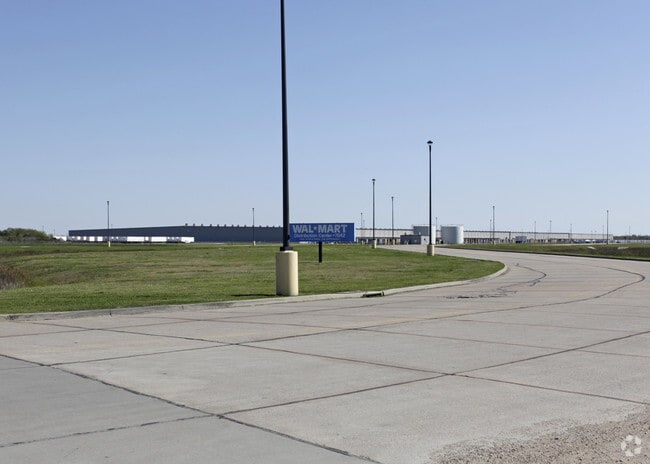
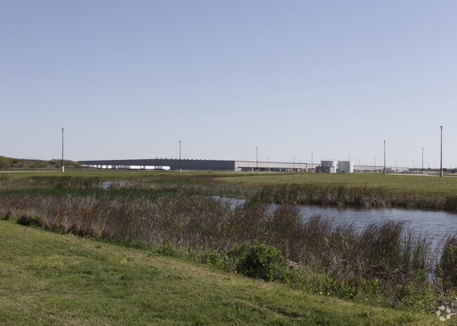
Property Record
Powers Rd, Baytown, TX 77523

Property Detail
Powers Rd
Houston-Pasadena-The Woodlands, TX
227 TR 17-2-6-3 J STEELE SUR IMPS CARRIED BY CAGI
00227-01700-00200-230603
CHAMBERS
Agriculturalland
Texas
B and X Area of moderate flood hazard, usually the area between the limits of the 100-year and 500-year floods.
238.70 AC
2025
East-Southeast Far
2025
Houston
710201
NEARBY LISTINGS FOR SALE OR LEASE
DEMOGRAPHICS near Powers Rd
1 mile
3 mile
5 mile
2024 Total Population
0
9,380
59,436
2029 Population
0
10,270
65,071
Pop Growth 2024-2029
0.00%
+ 9.49%
+ 9.48%
Average Age
0
37
37
2024 Total Households
0
3,515
20,442
HH Growth 2024-2029
0.00%
+ 9.62%
+ 9.67%
Median Household Inc
$0
$60,061
$64,847
Avg Household Size
.00
2.60
2.80
2024 Avg HH Vehicles
.00
2.00
2.00
Median Home Value
$0
$243,715
$223,801
Median Year Built
0
1975
1981
Nearby Places
Map Layers
Map Styles
 Street
 Aerial
Transit
 Traffic
 Biking
Places
Listings with unknown addresses are not visible on the map
- Restaurants
- Banks
- Shops
- Fitness
- Groceries
PUBLIC TRANSPORTATION
AIRPORT
William P Hobby
Drive
Walk
Distance
William P Hobby
50 min
31.7 mi
Freight Ports
Port of Houston
Drive
Walk
Distance
Port of Houston
42 min
27.4 mi
Nearby Properties
Address
Land Use
TOTAL SIZE
Lot Size
Zoning
Address
Land Use
TOTAL SIZE
Lot Size
Zoning
313,504 SF
18.76 AC
Address
Land Use
TOTAL SIZE
Lot Size
Zoning
233,074 SF
19.10 AC
Address
Land Use
TOTAL SIZE
Lot Size
Zoning
58.76 AC
Address
Land Use
TOTAL SIZE
Lot Size
Zoning
210.91 AC
Address
Land Use
TOTAL SIZE
Lot Size
Zoning
273,822 SF
10.54 AC
Address
Land Use
TOTAL SIZE
Lot Size
Zoning
198.13 AC
Address
Land Use
TOTAL SIZE
Lot Size
Zoning
198.54 AC
Address
Land Use
TOTAL SIZE
Lot Size
Zoning
95.39 AC
Address
Land Use
TOTAL SIZE
Lot Size
Zoning
47.21 AC
Address
Land Use
TOTAL SIZE
Lot Size
Zoning
46.85 AC
Address
Land Use
TOTAL SIZE
Lot Size
Zoning
46.04 AC
Address
Land Use
TOTAL SIZE
Lot Size
Zoning
45.18 AC
Address
Land Use
TOTAL SIZE
Lot Size
Zoning
45.13 AC
Address
Land Use
TOTAL SIZE
Lot Size
Zoning
88.37 AC
Address
Land Use
TOTAL SIZE
Lot Size
Zoning
49.07 AC
Address
Land Use
TOTAL SIZE
Lot Size
Zoning
773.19 AC
Address
Land Use
TOTAL SIZE
Lot Size
Zoning
43.14 AC
Address
Land Use
TOTAL SIZE
Lot Size
Zoning
Address
Land Use
TOTAL SIZE
Lot Size
Zoning
40 AC
Address
Land Use
TOTAL SIZE
Lot Size
Zoning
Address
Land Use
TOTAL SIZE
Lot Size
Zoning
Address
Land Use
TOTAL SIZE
Lot Size
Zoning
Address
Land Use
TOTAL SIZE
Lot Size
Zoning
1,292 SF
257.08 AC
Address
Land Use
TOTAL SIZE
Lot Size
Zoning
36.03 AC
Address
Land Use
TOTAL SIZE
Lot Size
Zoning
38.47 AC
The World's #1 Commercial Real Estate Marketplace
Connect with us
© 2026 CoStar Group
The information above has been obtained from sources believed reliable. While we do not doubt its accuracy we have not verified it and make no guarantee, warranty or representation about it. It is your responsibility to independently confirm its accuracy and completeness. Any projections, opinions, assumptions, or estimates used are for example only and do not represent the current or future performance of the property. The value of this transaction to you depends on tax and other factors which should be evaluated by your tax, financial, and legal advisors. You and your advisors should conduct a careful, independent investigation of the property to determine to your satisfaction the suitability of the property for your needs.