Property Record
Private Rd, Savannah, GA 31410

NEARBY LISTINGS FOR SALE OR LEASE
-
-
View all Savannah listings for sale on LoopNet.com
Property Detail
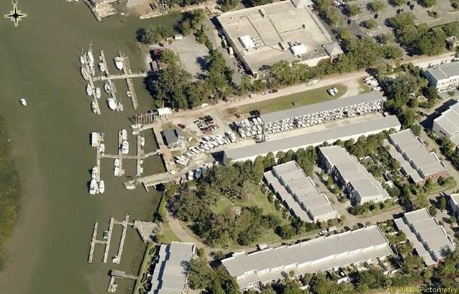
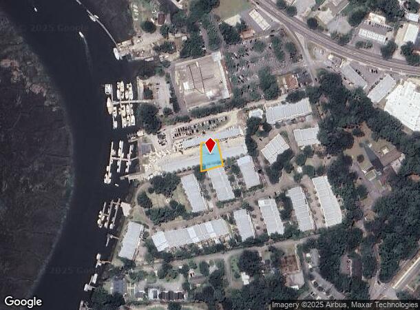
Private Rd
Savannah, GA
Boyd Tct Wil Mington Isl The Pindar Sub
1009001012
TCT BEING PT OF BOYD TCT WIL MINGTON ISL THE PINDAR SUB
Residentialacreage
Chatham
X
Georgia
45053C0575D
0.27 AC
2024
Outer Islands
2025
Savannah
011104
DEMOGRAPHICS near Private Rd
1 mile
3 mile
5 mile
2024 Total Population
4,795
23,156
40,631
2029 Population
4,899
23,724
41,753
Pop Growth 2024-2029
+ 2.17%
+ 2.45%
+ 2.76%
Average Age
44
44
43
2024 Total Households
2,081
9,793
16,190
HH Growth 2024-2029
+ 2.26%
+ 2.59%
+ 2.92%
Median Household Inc
$76,626
$85,383
$74,657
Avg Household Size
2.20
2.30
2.30
2024 Avg HH Vehicles
2.00
2.00
2.00
Median Home Value
$310,333
$356,258
$340,097
Median Year Built
1983
1986
1982
Nearby Places
Map Layers
Map Styles
 Street
 Aerial
Transit
 Traffic
 Biking
Places
Listings with unknown addresses are not visible on the map
- Restaurants
- Banks
- Shops
- Fitness
- Groceries
PUBLIC TRANSPORTATION
AIRPORT
Savannah/Hilton Head International
Drive
Walk
Distance
Savannah/Hilton Head International
34 min
19.4 mi
Hilton Head
Drive
Walk
Distance
Hilton Head
75 min
46.9 mi
SALE & LEASE HISTORY
LISTING DATE
SALE/LEASE

Oct 04, 2017
For Sale
Nearby Properties
Address
Land Use
TOTAL SIZE
Lot Size
Zoning
Address
Land Use
TOTAL SIZE
Lot Size
Zoning
26,388 SF
27.95 AC
PUD
Address
Land Use
TOTAL SIZE
Lot Size
Zoning
17,664 SF
32.17 AC
PUDM
Address
Land Use
TOTAL SIZE
Lot Size
Zoning
6,192 SF
22.02 AC
PUD
Address
Land Use
TOTAL SIZE
Lot Size
Zoning
8,112 SF
17.89 AC
R1
Address
Land Use
TOTAL SIZE
Lot Size
Zoning
5,760 SF
20.03 AC
R1
Address
Land Use
TOTAL SIZE
Lot Size
Zoning
92,763 SF
32.07 AC
RA
Address
Land Use
TOTAL SIZE
Lot Size
Zoning
16,598 SF
0.02 AC
RA
Address
Land Use
TOTAL SIZE
Lot Size
Zoning
9,409 SF
3.94 AC
R1
Address
Land Use
TOTAL SIZE
Lot Size
Zoning
47.20 AC
RA-BN
Address
Land Use
TOTAL SIZE
Lot Size
Zoning
29.35 AC
RA-BN
Address
Land Use
TOTAL SIZE
Lot Size
Zoning
42,658 SF
10.13 AC
PBC
Address
Land Use
TOTAL SIZE
Lot Size
Zoning
15,250 SF
10.79 AC
PUDIS
Address
Land Use
TOTAL SIZE
Lot Size
Zoning
13,229 SF
20.64 AC
TB
Address
Land Use
TOTAL SIZE
Lot Size
Zoning
840 SF
51.68 AC
PUDM
Address
Land Use
TOTAL SIZE
Lot Size
Zoning
4,608 SF
6.55 AC
RA
Address
Land Use
TOTAL SIZE
Lot Size
Zoning
90,003 SF
1.80 AC
Address
Land Use
TOTAL SIZE
Lot Size
Zoning
41,353 SF
5.23 AC
PBC
Address
Land Use
TOTAL SIZE
Lot Size
Zoning
31,522 SF
6.03 AC
PR3-16
Address
Land Use
TOTAL SIZE
Lot Size
Zoning
29,242 SF
5.38 AC
TB
Address
Land Use
TOTAL SIZE
Lot Size
Zoning
8,900 SF
1.33 AC
R1
Address
Land Use
TOTAL SIZE
Lot Size
Zoning
11,188 SF
1.04 AC
R1
Address
Land Use
TOTAL SIZE
Lot Size
Zoning
9,501 SF
1.70 AC
Address
Land Use
TOTAL SIZE
Lot Size
Zoning
14,601 SF
4.15 AC
RA-BN
Address
Land Use
TOTAL SIZE
Lot Size
Zoning
5,632 SF
1.14 AC
R1
Address
Land Use
TOTAL SIZE
Lot Size
Zoning
7,164 SF
1.31 AC
R1
Address
Land Use
TOTAL SIZE
Lot Size
Zoning
5,829 SF
1.49 AC
Address
Land Use
TOTAL SIZE
Lot Size
Zoning
17,842 SF
20 AC
RA
Address
Land Use
TOTAL SIZE
Lot Size
Zoning
7,206 SF
1.32 AC
R1
Address
Land Use
TOTAL SIZE
Lot Size
Zoning
4,761 SF
1.12 AC
R1
Address
Land Use
TOTAL SIZE
Lot Size
Zoning
8,374 SF
1.32 AC
R1
The World's #1 Commercial Real Estate Marketplace
Connect with us
© 2026 CoStar Group
The information above has been obtained from sources believed reliable. While we do not doubt its accuracy we have not verified it and make no guarantee, warranty or representation about it. It is your responsibility to independently confirm its accuracy and completeness. Any projections, opinions, assumptions, or estimates used are for example only and do not represent the current or future performance of the property. The value of this transaction to you depends on tax and other factors which should be evaluated by your tax, financial, and legal advisors. You and your advisors should conduct a careful, independent investigation of the property to determine to your satisfaction the suitability of the property for your needs.