Property Record
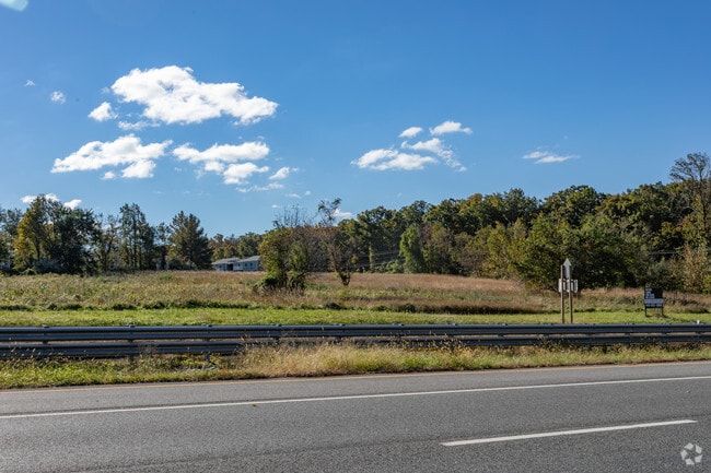
Pulaski Hwy, Perryville, MD 21903


NEARBY LISTINGS FOR SALE OR LEASE
Property Detail
Pulaski Hwy
07-037082
.3444 ACRE S/S PULASKI HIGHWAY E OF PERRYVILLE
Commercialacreage
Cecil
X
Maryland
24015C0133E
5.20 AC
2025
Cecil County
2025
Baltimore
031202
Philadelphia-Camden-Wilmington, PA-NJ-DE-MD
DEMOGRAPHICS near Pulaski Hwy
1 mile
3 mile
5 mile
2024 Total Population
2,314
10,731
32,740
2029 Population
2,335
11,015
33,809
Pop Growth 2024-2029
+ 0.91%
+ 2.65%
+ 3.27%
Average Age
41
44
43
2024 Total Households
888
4,653
13,392
HH Growth 2024-2029
+ 0.90%
+ 2.84%
+ 3.45%
Median Household Inc
$80,386
$63,175
$83,961
Avg Household Size
2.60
2.20
2.40
2024 Avg HH Vehicles
2.00
2.00
2.00
Median Home Value
$272,908
$272,262
$304,734
Median Year Built
1983
1974
1987
Nearby Places
Map Layers
Map Styles
 Street
 Aerial
Transit
 Traffic
 Biking
Places
Listings with unknown addresses are not visible on the map
- Restaurants
- Banks
- Shops
- Fitness
- Groceries
PUBLIC TRANSPORTATION
COMMUTER RAIL
Perryville (PENN - WASHINGTON - Maryland Area Regional Commuter Trains (The MARC), Penn Line - Maryland Area Regional Commuter Trains (The MARC))
Drive
Walk
Distance
Perryville (PENN - WASHINGTON - Maryland Area Regional Commuter Trains (The MARC), Penn Line - Maryland Area Regional Commuter Trains (The MARC))
4 min
2.0 mi
Aberdeen (PENN - WASHINGTON - Maryland Area Regional Commuter Trains (The MARC), Penn Line - Maryland Area Regional Commuter Trains (The MARC))
Drive
Walk
Distance
Aberdeen (PENN - WASHINGTON - Maryland Area Regional Commuter Trains (The MARC), Penn Line - Maryland Area Regional Commuter Trains (The MARC))
14 min
7.9 mi
Freight Ports
Port of Wilmington, RI
Drive
Walk
Distance
Port of Wilmington, RI
44 min
33.5 mi
SALE & LEASE HISTORY
LISTING DATE
SALE/LEASE

Sep 24, 2016
For Sale
Jul 28, 2017
For Lease
Nearby Properties
Address
Land Use
TOTAL SIZE
Lot Size
Zoning
Address
Land Use
TOTAL SIZE
Lot Size
Zoning
457,324 SF
43.13 AC
C2/L2
Address
Land Use
TOTAL SIZE
Lot Size
Zoning
866,826 SF
267.48 AC
L2
Address
Land Use
TOTAL SIZE
Lot Size
Zoning
349.76 AC
OS
Address
Land Use
TOTAL SIZE
Lot Size
Zoning
1,080,040 SF
127.58 AC
MEA
Address
Land Use
TOTAL SIZE
Lot Size
Zoning
521,850 SF
113.72 AC
MEA
Address
Land Use
TOTAL SIZE
Lot Size
Zoning
1,005,768 SF
70.66 AC
M2
Address
Land Use
TOTAL SIZE
Lot Size
Zoning
68,345 SF
30.07 AC
CEMUD
Address
Land Use
TOTAL SIZE
Lot Size
Zoning
360,458 SF
25.78 AC
M2
Address
Land Use
TOTAL SIZE
Lot Size
Zoning
100,444 SF
2.64 AC
RB
Address
Land Use
TOTAL SIZE
Lot Size
Zoning
103,470 SF
5.97 AC
R1
Address
Land Use
TOTAL SIZE
Lot Size
Zoning
28.03 AC
OS
Address
Land Use
TOTAL SIZE
Lot Size
Zoning
65,006 SF
29.63 AC
R1
Address
Land Use
TOTAL SIZE
Lot Size
Zoning
140,316 SF
36.71 AC
RM
Address
Land Use
TOTAL SIZE
Lot Size
Zoning
58,603 SF
13.26 AC
R1
Address
Land Use
TOTAL SIZE
Lot Size
Zoning
213,790 SF
1.37 AC
RB
Address
Land Use
TOTAL SIZE
Lot Size
Zoning
92,200 SF
14.32 AC
SPLIT
Address
Land Use
TOTAL SIZE
Lot Size
Zoning
4,800 SF
14.81 AC
C2
Address
Land Use
TOTAL SIZE
Lot Size
Zoning
24,000 SF
2.24 AC
C2
Address
Land Use
TOTAL SIZE
Lot Size
Zoning
55,386 SF
14.99 AC
ST
Address
Land Use
TOTAL SIZE
Lot Size
Zoning
20,000 SF
11.32 AC
RB
Address
Land Use
TOTAL SIZE
Lot Size
Zoning
20,674 SF
0.54 AC
RO
Address
Land Use
TOTAL SIZE
Lot Size
Zoning
7,586 SF
2.20 AC
RO
Address
Land Use
TOTAL SIZE
Lot Size
Zoning
24,000 SF
2.16 AC
C2
Address
Land Use
TOTAL SIZE
Lot Size
Zoning
44,160 SF
5.04 AC
M2
Address
Land Use
TOTAL SIZE
Lot Size
Zoning
15,344 SF
4.96 AC
MUD
Address
Land Use
TOTAL SIZE
Lot Size
Zoning
2,496 SF
20.39 AC
ST
Address
Land Use
TOTAL SIZE
Lot Size
Zoning
50,000 SF
16 AC
L2
Address
Land Use
TOTAL SIZE
Lot Size
Zoning
71,490 SF
16.62 AC
M2
Address
Land Use
TOTAL SIZE
Lot Size
Zoning
88,672 SF
5.70 AC
R2
Address
Land Use
TOTAL SIZE
Lot Size
Zoning
10,958 SF
5.59 AC
RB
The World's #1 Commercial Real Estate Marketplace
Connect with us
© 2026 CoStar Group
The information above has been obtained from sources believed reliable. While we do not doubt its accuracy we have not verified it and make no guarantee, warranty or representation about it. It is your responsibility to independently confirm its accuracy and completeness. Any projections, opinions, assumptions, or estimates used are for example only and do not represent the current or future performance of the property. The value of this transaction to you depends on tax and other factors which should be evaluated by your tax, financial, and legal advisors. You and your advisors should conduct a careful, independent investigation of the property to determine to your satisfaction the suitability of the property for your needs.