Property Record
Putty Hill Ave, Towson, MD 21286
Save to a Folder
{{folder.Name}}
{{folder.ListingIds.length}} Properties
{{folder.ListingIds.length}} Property
Create a New Folder
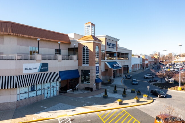
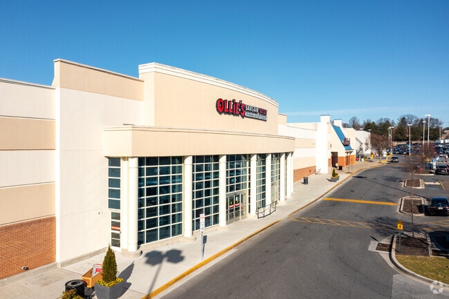
Property Detail
Putty Hill Ave
09-1800007540
.782 AC NS
Commercialacreage
BALTIMORE
BLCCC
Maryland
B and X Area of moderate flood hazard, usually the area between the limits of the 100-year and 500-year floods.
1800007
2024
0.78 AC
2025
Towson
491201
Baltimore
1,066 SF
Baltimore-Columbia-Towson, MD
NEARBY LISTINGS FOR SALE OR LEASE
DEMOGRAPHICS near Putty Hill Ave
1 mile
3 mile
5 mile
2025 Total Population
16,601
135,967
314,809
2030 Population
16,862
134,917
310,649
Pop Growth 2025-2030
+ 1.57%
(0.77%)
(1.32%)
Average Age
39
40
41
2025 Total Households
7,358
55,693
126,505
HH Growth 2025-2030
+ 1.63%
(0.79%)
(1.39%)
Median Household Inc
$77,591
$82,560
$84,636
Avg Household Size
2.20
2.30
2.30
2025 Avg HH Vehicles
2.00
2.00
2.00
Median Home Value
$302,006
$309,980
$310,526
Median Year Built
1961
1957
1957
Nearby Places
Map Layers
Map Styles
 Street
 Aerial
Layers
 Traffic
 Biking
Places
Listings with unknown addresses are not visible on the map
- Restaurants
- Banks
- Shops
- Fitness
- Groceries
PUBLIC TRANSPORTATION
COMMUTER RAIL
Baltimore Penn Station (Acela - Amtrak, Crescent - Amtrak, Palmetto - Amtrak, PENN - WASHINGTON - Amtrak, Silver Meteor - Amtrak, Vermonter - Amtrak)
Drive
Walk
Distance
Baltimore Penn Station (Acela - Amtrak, Crescent - Amtrak, Palmetto - Amtrak, PENN - WASHINGTON - Amtrak, Silver Meteor - Amtrak, Vermonter - Amtrak)
18 min
7.0 mi
Camden Station Marc (CAMDEN - WASHINGTON - Maryland Transit Administration)
Drive
Walk
Distance
Camden Station Marc (CAMDEN - WASHINGTON - Maryland Transit Administration)
23 min
8.9 mi
AIRPORT
Baltimore/Washington International Thurgood Marshall
Drive
Walk
Distance
Baltimore/Washington International Thurgood Marshall
39 min
18.5 mi
Freight Ports
Port of Baltimore
Drive
Walk
Distance
Port of Baltimore
29 min
17.2 mi
SALE & LEASE HISTORY
LISTING DATE
SALE/LEASE

Sep 24, 2016
For Lease
Mar 25, 2020
For Lease
Aug 29, 2018
For Lease
Aug 28, 2023
For Lease
Nearby Properties
Address
Land Use
TOTAL SIZE
Lot Size
Zoning
Address
Land Use
TOTAL SIZE
Lot Size
Zoning
363,750 SF
87 SF
Address
Land Use
TOTAL SIZE
Lot Size
Zoning
940,291 SF
23.80 AC
BMCT
Address
Land Use
TOTAL SIZE
Lot Size
Zoning
1,165,880 SF
55.70 AC
DR2
Address
Land Use
TOTAL SIZE
Lot Size
Zoning
316,273 SF
25.90 AC
H
Address
Land Use
TOTAL SIZE
Lot Size
Zoning
712,387 SF
2.20 AC
BM-CT
Address
Land Use
TOTAL SIZE
Lot Size
Zoning
723,067 SF
80.37 AC
OR2
Address
Land Use
TOTAL SIZE
Lot Size
Zoning
23.09 AC
DR16
Address
Land Use
TOTAL SIZE
Lot Size
Zoning
731,797 SF
5.32 AC
RAE2
Address
Land Use
TOTAL SIZE
Lot Size
Zoning
296,575 SF
0.01 AC
DR16
Address
Land Use
TOTAL SIZE
Lot Size
Zoning
31.22 AC
DR16
Address
Land Use
TOTAL SIZE
Lot Size
Zoning
561,042 SF
38.91 AC
DR2
Address
Land Use
TOTAL SIZE
Lot Size
Zoning
725,588 SF
43.12 AC
BLCCC
Address
Land Use
TOTAL SIZE
Lot Size
Zoning
230,316 SF
9.93 AC
DR2
Address
Land Use
TOTAL SIZE
Lot Size
Zoning
189,300 SF
1.83 AC
BM
Address
Land Use
TOTAL SIZE
Lot Size
Zoning
643,976 SF
4.54 AC
RAE2
Address
Land Use
TOTAL SIZE
Lot Size
Zoning
303,115 SF
7.62 AC
R-3
Address
Land Use
TOTAL SIZE
Lot Size
Zoning
30.89 AC
DR16
Address
Land Use
TOTAL SIZE
Lot Size
Zoning
12.75 AC
DR16
Address
Land Use
TOTAL SIZE
Lot Size
Zoning
0.01 AC
DR5,5
Address
Land Use
TOTAL SIZE
Lot Size
Zoning
318,948 SF
7.35 AC
BM
Address
Land Use
TOTAL SIZE
Lot Size
Zoning
585,866 SF
1.24 AC
BM-CT
Address
Land Use
TOTAL SIZE
Lot Size
Zoning
184,968 SF
4.25 AC
Address
Land Use
TOTAL SIZE
Lot Size
Zoning
204,974 SF
5.87 AC
DR16
Address
Land Use
TOTAL SIZE
Lot Size
Zoning
578,808 SF
30.10 AC
Address
Land Use
TOTAL SIZE
Lot Size
Zoning
523,464 SF
3.43 AC
RAE2
Address
Land Use
TOTAL SIZE
Lot Size
Zoning
2.70 AC
BM-CT
Address
Land Use
TOTAL SIZE
Lot Size
Zoning
15.49 AC
DR16
Address
Land Use
TOTAL SIZE
Lot Size
Zoning
2.88 AC
Address
Land Use
TOTAL SIZE
Lot Size
Zoning
7,718 SF
152.79 AC
OS
Address
Land Use
TOTAL SIZE
Lot Size
Zoning
67,938 SF
31.72 AC
BL
The World's #1 Commercial Real Estate Marketplace
Connect with us
© 2026 CoStar Group
The information above has been obtained from sources believed reliable. While we do not doubt its accuracy we have not verified it and make no guarantee, warranty or representation about it. It is your responsibility to independently confirm its accuracy and completeness. Any projections, opinions, assumptions, or estimates used are for example only and do not represent the current or future performance of the property. The value of this transaction to you depends on tax and other factors which should be evaluated by your tax, financial, and legal advisors. You and your advisors should conduct a careful, independent investigation of the property to determine to your satisfaction the suitability of the property for your needs.