Property Record
Ray Thorington Rd S, , AL

Property Detail
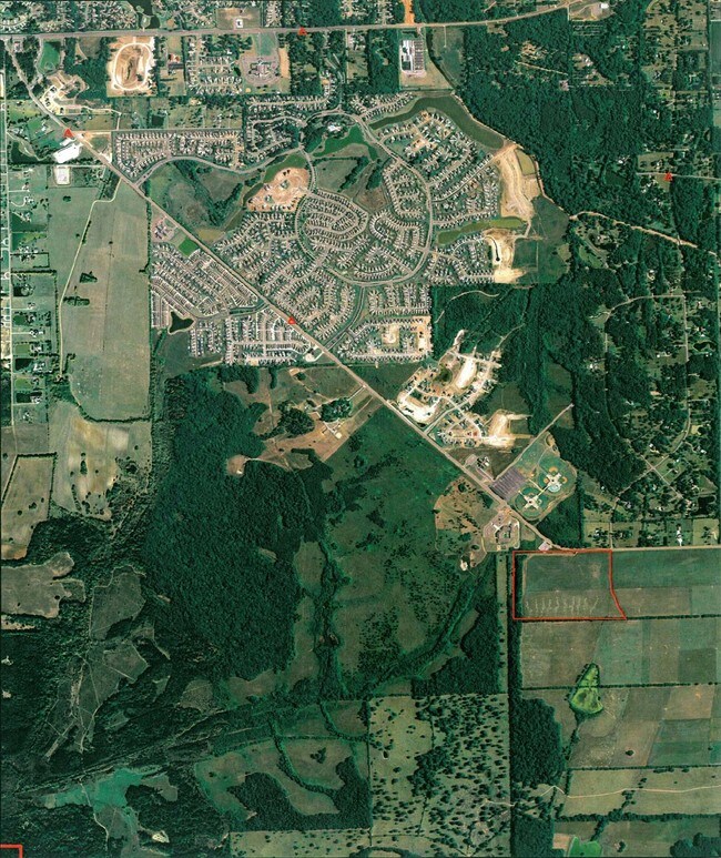
Ray Thorington Rd S
Montgomery, AL
N1/2 OF SE1/4 & NE 1/4 OF SW1/4 IN 2 15 19 1601020000025000
16-01-02-0-000-025.000
MONTGOMERY
Commercialacreage
Alabama
B and X Area of moderate flood hazard, usually the area between the limits of the 100-year and 500-year floods.
127 AC
2025
North Montgomery
2025
Montgomery
005407
NEARBY LISTINGS FOR SALE OR LEASE
DEMOGRAPHICS near Ray Thorington Rd S
1 mile
3 mile
5 mile
2024 Total Population
789
11,413
37,337
2029 Population
787
11,243
36,452
Pop Growth 2024-2029
(0.25%)
(1.49%)
(2.37%)
Average Age
38
39
40
2024 Total Households
261
4,062
14,997
HH Growth 2024-2029
(0.38%)
(1.53%)
(2.62%)
Median Household Inc
$115,178
$119,421
$96,993
Avg Household Size
3.00
2.80
2.50
2024 Avg HH Vehicles
2.00
2.00
2.00
Median Home Value
$412,308
$373,867
$321,852
Median Year Built
2008
2005
2000
Nearby Places
Map Layers
Map Styles
 Street
 Aerial
Transit
 Traffic
 Biking
Places
Listings with unknown addresses are not visible on the map
- Restaurants
- Banks
- Shops
- Fitness
- Groceries
PUBLIC TRANSPORTATION
AIRPORT
Montgomery Regional (Dannelly Field)
Drive
Walk
Distance
Montgomery Regional (Dannelly Field)
29 min
18.5 mi
Freight Ports
Port of Panama City
Drive
Walk
Distance
Port of Panama City
237 min
185.7 mi
Nearby Properties
Address
Land Use
TOTAL SIZE
Lot Size
Zoning
Address
Land Use
TOTAL SIZE
Lot Size
Zoning
47,292 SF
63.99 AC
Address
Land Use
TOTAL SIZE
Lot Size
Zoning
57,408 SF
24.61 AC
Address
Land Use
TOTAL SIZE
Lot Size
Zoning
123,098 SF
60.33 AC
AGR-1
Address
Land Use
TOTAL SIZE
Lot Size
Zoning
44,082 SF
5.95 AC
Address
Land Use
TOTAL SIZE
Lot Size
Zoning
23,923 SF
19.61 AC
AGR-1
Address
Land Use
TOTAL SIZE
Lot Size
Zoning
84,279 SF
14.27 AC
Address
Land Use
TOTAL SIZE
Lot Size
Zoning
25.72 AC
Address
Land Use
TOTAL SIZE
Lot Size
Zoning
61,857 SF
6.93 AC
B-2-Q
Address
Land Use
TOTAL SIZE
Lot Size
Zoning
28,235 SF
25.53 AC
Address
Land Use
TOTAL SIZE
Lot Size
Zoning
15,319 SF
16.10 AC
B-3
Address
Land Use
TOTAL SIZE
Lot Size
Zoning
206.60 AC
PUD
Address
Land Use
TOTAL SIZE
Lot Size
Zoning
25,813 SF
14.70 AC
Address
Land Use
TOTAL SIZE
Lot Size
Zoning
60,419 SF
4.30 AC
B-2-Q
Address
Land Use
TOTAL SIZE
Lot Size
Zoning
20,595 SF
17.67 AC
PUD
Address
Land Use
TOTAL SIZE
Lot Size
Zoning
105.66 AC
Address
Land Use
TOTAL SIZE
Lot Size
Zoning
26,433 SF
7.30 AC
PUD
Address
Land Use
TOTAL SIZE
Lot Size
Zoning
140.80 AC
PUD
Address
Land Use
TOTAL SIZE
Lot Size
Zoning
160.40 AC
PUD
Address
Land Use
TOTAL SIZE
Lot Size
Zoning
8.80 AC
PUD
Address
Land Use
TOTAL SIZE
Lot Size
Zoning
3,263 SF
56.80 AC
AGR-1
Address
Land Use
TOTAL SIZE
Lot Size
Zoning
11,252 SF
1.81 AC
B-3
Address
Land Use
TOTAL SIZE
Lot Size
Zoning
16,950 SF
5.80 AC
Address
Land Use
TOTAL SIZE
Lot Size
Zoning
56 AC
INST
Address
Land Use
TOTAL SIZE
Lot Size
Zoning
12,255 SF
4.92 AC
PGH-40
Address
Land Use
TOTAL SIZE
Lot Size
Zoning
34.80 AC
Address
Land Use
TOTAL SIZE
Lot Size
Zoning
235.30 AC
PUD
Address
Land Use
TOTAL SIZE
Lot Size
Zoning
8,876 SF
3.60 AC
Address
Land Use
TOTAL SIZE
Lot Size
Zoning
6,400 SF
233 AC
Address
Land Use
TOTAL SIZE
Lot Size
Zoning
58.70 AC
PUD
Address
Land Use
TOTAL SIZE
Lot Size
Zoning
8,038 SF
9.70 AC
INST
The World's #1 Commercial Real Estate Marketplace
Connect with us
© 2026 CoStar Group
The information above has been obtained from sources believed reliable. While we do not doubt its accuracy we have not verified it and make no guarantee, warranty or representation about it. It is your responsibility to independently confirm its accuracy and completeness. Any projections, opinions, assumptions, or estimates used are for example only and do not represent the current or future performance of the property. The value of this transaction to you depends on tax and other factors which should be evaluated by your tax, financial, and legal advisors. You and your advisors should conduct a careful, independent investigation of the property to determine to your satisfaction the suitability of the property for your needs.