Property Record
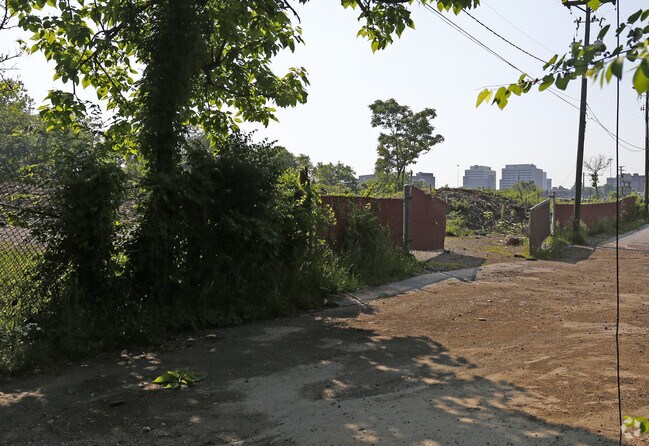
Richards St, Knoxville, TN 37921

NEARBY LISTINGS FOR SALE OR LEASE
Property Detail
Richards St
Knoxville, TN
Mcghee Add
094EA-016
SUBDIVISIONNAME J A GILBERT MAPPLATB BK W MAPPLATP V 3 DIMENSIONS 26M X 80M
Foundry
Knox
AE
Tennessee
47093C0281G
10
2024
0.10 AC
2024
North/Broadway
003901
Knoxville
DEMOGRAPHICS near Richards St
1 Mile
3 Mile
5 Mile
2024 Total Population
15,546
92,018
168,636
2029 Population
17,188
100,947
184,478
Pop Growth 2024-2029
+ 10.56%
+ 9.70%
+ 9.39%
Average Age
34
34
37
2024 Total Households
7,020
38,482
72,908
HH Growth 2024-2029
+ 11.37%
+ 10.53%
+ 9.87%
Median Household Inc
$35,198
$34,190
$41,159
Avg Household Size
1.90
2.10
2.10
2024 Avg HH Vehicles
1.00
1.00
2.00
Median Home Value
$323,779
$157,833
$178,919
Median Year Built
1966
1968
1969
Nearby Places
Map Layers
Map Styles
 Street
 Aerial
- Restaurants
- Banks
- Shops
- Fitness
- Groceries
PUBLIC TRANSPORTATION
AIRPORT
McGhee Tyson
DRIVE
WALK
Distance
McGhee Tyson
30 min
16.3 mi
Freight Ports
North Charleston Terminal
DRIVE
WALK
Distance
North Charleston Terminal
418 min
363.2 mi
Nearby Properties
Address
Land Use
TOTAL SIZE
Lot Size
Zoning
Address
Land Use
TOTAL SIZE
Lot Size
Zoning
285,481 SF
1.77 AC
Address
Land Use
TOTAL SIZE
Lot Size
Zoning
254,407 SF
1.08 AC
Address
Land Use
TOTAL SIZE
Lot Size
Zoning
453,998 SF
1.03 AC
Address
Land Use
TOTAL SIZE
Lot Size
Zoning
311,042 SF
1.36 AC
Address
Land Use
TOTAL SIZE
Lot Size
Zoning
320,324 SF
2.83 AC
Address
Land Use
TOTAL SIZE
Lot Size
Zoning
404,996 SF
Address
Land Use
TOTAL SIZE
Lot Size
Zoning
154,163 SF
3.48 AC
Address
Land Use
TOTAL SIZE
Lot Size
Zoning
210,640 SF
1.90 AC
Address
Land Use
TOTAL SIZE
Lot Size
Zoning
38,438 SF
2.04 AC
Address
Land Use
TOTAL SIZE
Lot Size
Zoning
742,968 SF
2.95 AC
Address
Land Use
TOTAL SIZE
Lot Size
Zoning
207,067 SF
11.79 AC
Address
Land Use
TOTAL SIZE
Lot Size
Zoning
117,375 SF
1.82 AC
Address
Land Use
TOTAL SIZE
Lot Size
Zoning
120,331 SF
5.62 AC
Address
Land Use
TOTAL SIZE
Lot Size
Zoning
177,685 SF
4.20 AC
Address
Land Use
TOTAL SIZE
Lot Size
Zoning
359,624 SF
60.94 AC
Address
Land Use
TOTAL SIZE
Lot Size
Zoning
210,052 SF
Address
Land Use
TOTAL SIZE
Lot Size
Zoning
173,567 SF
1.10 AC
Address
Land Use
TOTAL SIZE
Lot Size
Zoning
45,702 SF
6.07 AC
Address
Land Use
TOTAL SIZE
Lot Size
Zoning
158,993 SF
Address
Land Use
TOTAL SIZE
Lot Size
Zoning
131,702 SF
0.68 AC
Address
Land Use
TOTAL SIZE
Lot Size
Zoning
395,134 SF
1.35 AC
Address
Land Use
TOTAL SIZE
Lot Size
Zoning
180,708 SF
5.26 AC
Address
Land Use
TOTAL SIZE
Lot Size
Zoning
325,704 SF
1.30 AC
Address
Land Use
TOTAL SIZE
Lot Size
Zoning
52,072 SF
18.05 AC
Address
Land Use
TOTAL SIZE
Lot Size
Zoning
60,782 SF
6.12 AC
Address
Land Use
TOTAL SIZE
Lot Size
Zoning
76,620 SF
0.64 AC
Address
Land Use
TOTAL SIZE
Lot Size
Zoning
5,260 SF
33.45 AC
Address
Land Use
TOTAL SIZE
Lot Size
Zoning
291,550 SF
2.47 AC
Address
Land Use
TOTAL SIZE
Lot Size
Zoning
201,897 SF
2.07 AC
Address
Land Use
TOTAL SIZE
Lot Size
Zoning
325,704 SF
1.30 AC
The World's #1 Commercial Real Estate Marketplace
Connect with us
© 2026 CoStar Group
The information above has been obtained from sources believed reliable. While we do not doubt its accuracy we have not verified it and make no guarantee, warranty or representation about it. It is your responsibility to independently confirm its accuracy and completeness. Any projections, opinions, assumptions, or estimates used are for example only and do not represent the current or future performance of the property. The value of this transaction to you depends on tax and other factors which should be evaluated by your tax, financial, and legal advisors. You and your advisors should conduct a careful, independent investigation of the property to determine to your satisfaction the suitability of the property for your needs.