Property Record
Ridgeoak Parkway & Ridgewood D Pkwy, Waco, TX 76710
NEARBY LISTINGS FOR SALE OR LEASE
Property Detail
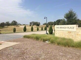
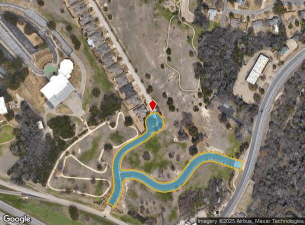
Ridgeoak Parkway & Ridgewood D Pkwy
Waco, TX
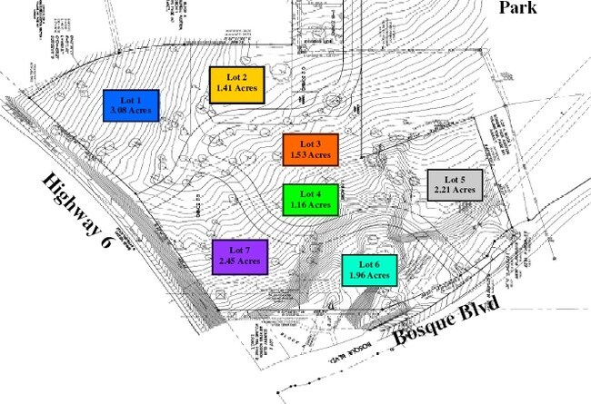
Oaks @ Ridgewood Ph 1
48-031720-010000-0
OAKS @ RIDGEWOOD PH 1 LOT A BLOCK 1, 2, 3 ACRES 2.382 (RIDGEWOOD DR & RIDGEOAK PKWY ROW)
Commercialacreage
Mclennan
X
Texas
48309C0365C
a
0
2.38 AC
2025
Waco & Killeen
002498
Other Market Areas
DEMOGRAPHICS near Ridgeoak Parkway & Ridgewood D Pkwy
1 Mile
3 Mile
5 Mile
2024 Total Population
7,182
43,284
116,127
2029 Population
7,691
45,851
123,425
Pop Growth 2024-2029
+ 7.09%
+ 5.93%
+ 6.28%
Average Age
42
41
38
2024 Total Households
2,990
17,498
44,599
HH Growth 2024-2029
+ 7.29%
+ 6.10%
+ 6.41%
Median Household Inc
$68,785
$60,832
$59,011
Avg Household Size
2.30
2.30
2.50
2024 Avg HH Vehicles
2.00
2.00
2.00
Median Home Value
$238,059
$231,625
$187,114
Median Year Built
1972
1972
1974
Nearby Places
Map Layers
Map Styles
 Street
 Aerial
- Restaurants
- Banks
- Shops
- Fitness
- Groceries
PUBLIC TRANSPORTATION
AIRPORT
Waco Regional
DRIVE
WALK
Distance
Waco Regional
23 min
9.3 mi
Freight Ports
Port of Houston
DRIVE
WALK
Distance
Port of Houston
221 min
192.5 mi
Nearby Properties
Address
Land Use
TOTAL SIZE
Lot Size
Zoning
Address
Land Use
TOTAL SIZE
Lot Size
Zoning
693,933 SF
57.98 AC
M2
Address
Land Use
TOTAL SIZE
Lot Size
Zoning
106.92 AC
Address
Land Use
TOTAL SIZE
Lot Size
Zoning
452,498 SF
39.43 AC
C-2
Address
Land Use
TOTAL SIZE
Lot Size
Zoning
Address
Land Use
TOTAL SIZE
Lot Size
Zoning
462,987 SF
36.18 AC
C-3
Address
Land Use
TOTAL SIZE
Lot Size
Zoning
16,678 SF
19.91 AC
C3
Address
Land Use
TOTAL SIZE
Lot Size
Zoning
Address
Land Use
TOTAL SIZE
Lot Size
Zoning
405,640 SF
64.46 AC
Address
Land Use
TOTAL SIZE
Lot Size
Zoning
10,334 SF
29.45 AC
R1B
Address
Land Use
TOTAL SIZE
Lot Size
Zoning
108,428 SF
9.27 AC
CS
Address
Land Use
TOTAL SIZE
Lot Size
Zoning
221,876 SF
12.26 AC
C-2
Address
Land Use
TOTAL SIZE
Lot Size
Zoning
211,432 SF
13.86 AC
O2
Address
Land Use
TOTAL SIZE
Lot Size
Zoning
Address
Land Use
TOTAL SIZE
Lot Size
Zoning
186,924 SF
9.14 AC
O-2
Address
Land Use
TOTAL SIZE
Lot Size
Zoning
181,423 SF
16.03 AC
R1B
Address
Land Use
TOTAL SIZE
Lot Size
Zoning
60,536 SF
0.93 AC
Address
Land Use
TOTAL SIZE
Lot Size
Zoning
223,307 SF
27.28 AC
O-2,
Address
Land Use
TOTAL SIZE
Lot Size
Zoning
225,762 SF
29.30 AC
C3
Address
Land Use
TOTAL SIZE
Lot Size
Zoning
167,206 SF
11.22 AC
R-3C
Address
Land Use
TOTAL SIZE
Lot Size
Zoning
238,580 SF
12.25 AC
R-3E
Address
Land Use
TOTAL SIZE
Lot Size
Zoning
228,638 SF
14.56 AC
O-2
Address
Land Use
TOTAL SIZE
Lot Size
Zoning
146,635 SF
8.36 AC
R-3E
Address
Land Use
TOTAL SIZE
Lot Size
Zoning
80,890 SF
13.08 AC
O1
Address
Land Use
TOTAL SIZE
Lot Size
Zoning
69,600 SF
2 AC
Address
Land Use
TOTAL SIZE
Lot Size
Zoning
198,670 SF
10.24 AC
M1
Address
Land Use
TOTAL SIZE
Lot Size
Zoning
10.26 AC
C2
Address
Land Use
TOTAL SIZE
Lot Size
Zoning
212,934 SF
21.91 AC
C3
Address
Land Use
TOTAL SIZE
Lot Size
Zoning
72,920 SF
11 AC
C-3
Address
Land Use
TOTAL SIZE
Lot Size
Zoning
Address
Land Use
TOTAL SIZE
Lot Size
Zoning
201,887 SF
23.33 AC
The World's #1 Commercial Real Estate Marketplace
Connect with us
© 2025 CoStar Group
The information above has been obtained from sources believed reliable. While we do not doubt its accuracy we have not verified it and make no guarantee, warranty or representation about it. It is your responsibility to independently confirm its accuracy and completeness. Any projections, opinions, assumptions, or estimates used are for example only and do not represent the current or future performance of the property. The value of this transaction to you depends on tax and other factors which should be evaluated by your tax, financial, and legal advisors. You and your advisors should conduct a careful, independent investigation of the property to determine to your satisfaction the suitability of the property for your needs.