Property Record
Rolling Pine Dr, Lake Park, GA 31636

Property Detail
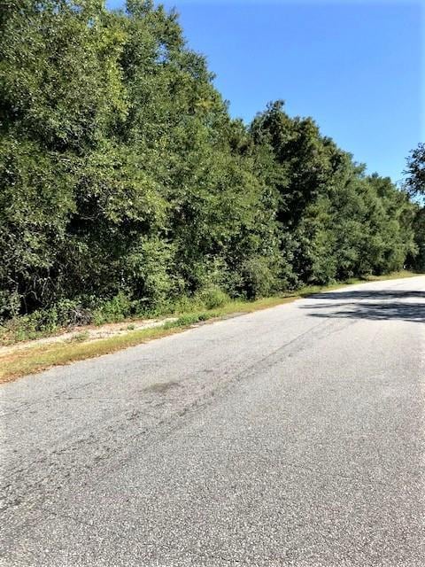
Rolling Pine Dr
0171-042B
LL 76 & 109 LD 16
Commercialacreage
LOWNDES
P-D
Georgia
B and X Area of moderate flood hazard, usually the area between the limits of the 100-year and 500-year floods.
11.97 AC
2025
Valdosta/Lake Park
2025
Other Market Areas
011600
Valdosta, GA
NEARBY LISTINGS FOR SALE OR LEASE
-
-
View all Lake Park listings for sale on LoopNet.com
DEMOGRAPHICS near Rolling Pine Dr
1 mile
3 mile
5 mile
2025 Total Population
1,465
7,520
11,618
2030 Population
1,474
7,765
11,998
Pop Growth 2025-2030
+ 0.61%
+ 3.26%
+ 3.27%
Average Age
38
39
39
2025 Total Households
622
3,008
4,527
HH Growth 2025-2030
+ 0.96%
+ 3.59%
+ 3.62%
Median Household Inc
$28,174
$56,238
$58,367
Avg Household Size
2.30
2.50
2.50
2025 Avg HH Vehicles
2.00
2.00
2.00
Median Home Value
$215,500
$244,962
$235,878
Median Year Built
1991
1993
1993
Nearby Places
Map Layers
Map Styles
 Street
 Aerial
Layers
 Traffic
 Biking
Places
Listings with unknown addresses are not visible on the map
- Restaurants
- Banks
- Shops
- Fitness
- Groceries
PUBLIC TRANSPORTATION
AIRPORT
Valdosta Regional
Drive
Walk
Distance
Valdosta Regional
13 min
7.9 mi
Freight Ports
Jacksonville Port
Drive
Walk
Distance
Jacksonville Port
129 min
113.1 mi
SALE & LEASE HISTORY
LISTING DATE
SALE/LEASE

Nov 08, 2019
For Sale
Feb 18, 2021
For Sale
Apr 05, 2022
For Sale
Nearby Properties
Address
Land Use
TOTAL SIZE
Lot Size
Zoning
Address
Land Use
TOTAL SIZE
Lot Size
Zoning
660,000 SF
89.77 AC
M-2
Address
Land Use
TOTAL SIZE
Lot Size
Zoning
37,152 SF
9.86 AC
R-6,C-C
Address
Land Use
TOTAL SIZE
Lot Size
Zoning
36,050 SF
12.49 AC
C-H
Address
Land Use
TOTAL SIZE
Lot Size
Zoning
40,500 SF
1.42 AC
C-H
Address
Land Use
TOTAL SIZE
Lot Size
Zoning
63,616 SF
6.96 AC
P-D
Address
Land Use
TOTAL SIZE
Lot Size
Zoning
44,248 SF
2.01 AC
C-H
Address
Land Use
TOTAL SIZE
Lot Size
Zoning
76,020 SF
40.70 AC
M-2
Address
Land Use
TOTAL SIZE
Lot Size
Zoning
64,795 SF
6.02 AC
P-D
Address
Land Use
TOTAL SIZE
Lot Size
Zoning
38,400 SF
2.10 AC
R-10
Address
Land Use
TOTAL SIZE
Lot Size
Zoning
25,520 SF
9.50 AC
R-15
Address
Land Use
TOTAL SIZE
Lot Size
Zoning
126,739 SF
6.37 AC
M-1
Address
Land Use
TOTAL SIZE
Lot Size
Zoning
21,844 SF
5 AC
C-H
Address
Land Use
TOTAL SIZE
Lot Size
Zoning
17,600 SF
8.65 AC
C-C
Address
Land Use
TOTAL SIZE
Lot Size
Zoning
79,884 SF
6.42 AC
M-2
Address
Land Use
TOTAL SIZE
Lot Size
Zoning
6,598 SF
6.03 AC
P-D
Address
Land Use
TOTAL SIZE
Lot Size
Zoning
2,000 SF
52.61 AC
M-1
Address
Land Use
TOTAL SIZE
Lot Size
Zoning
4,832 SF
7.12 AC
R-10
Address
Land Use
TOTAL SIZE
Lot Size
Zoning
3,393 SF
26.64 AC
R-10
Address
Land Use
TOTAL SIZE
Lot Size
Zoning
69,696 SF
4.59 AC
M-2
Address
Land Use
TOTAL SIZE
Lot Size
Zoning
237,872 SF
22.07 AC
C-H
Address
Land Use
TOTAL SIZE
Lot Size
Zoning
1,418 SF
2.44 AC
C-H
Address
Land Use
TOTAL SIZE
Lot Size
Zoning
1,056 SF
17.34 AC
C-H
Address
Land Use
TOTAL SIZE
Lot Size
Zoning
27,292 SF
1.52 AC
C-H
Address
Land Use
TOTAL SIZE
Lot Size
Zoning
47,500 SF
4.20 AC
C-H
Address
Land Use
TOTAL SIZE
Lot Size
Zoning
5,224 SF
1.80 AC
C-H
Address
Land Use
TOTAL SIZE
Lot Size
Zoning
1,466 SF
2.17 AC
C-H
Address
Land Use
TOTAL SIZE
Lot Size
Zoning
968 SF
1.45 AC
C-H
Address
Land Use
TOTAL SIZE
Lot Size
Zoning
10,080 SF
10 AC
C-H
Address
Land Use
TOTAL SIZE
Lot Size
Zoning
9,600 SF
12.16 AC
R-10
Address
Land Use
TOTAL SIZE
Lot Size
Zoning
9,858 SF
2.98 AC
C-H
The World's #1 Commercial Real Estate Marketplace
Connect with us
© 2026 CoStar Group
The information above has been obtained from sources believed reliable. While we do not doubt its accuracy we have not verified it and make no guarantee, warranty or representation about it. It is your responsibility to independently confirm its accuracy and completeness. Any projections, opinions, assumptions, or estimates used are for example only and do not represent the current or future performance of the property. The value of this transaction to you depends on tax and other factors which should be evaluated by your tax, financial, and legal advisors. You and your advisors should conduct a careful, independent investigation of the property to determine to your satisfaction the suitability of the property for your needs.