Property Record
Rosemeade Pkwy, Carrollton, TX 75007

NEARBY LISTINGS FOR SALE OR LEASE
Property Detail
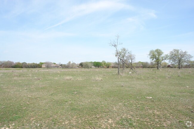
Rosemeade Pkwy
Dallas-Fort Worth-Arlington, TX
L.L. Finley
R19719
A0429A L.L. FINLEY, TR 3, 16.7276 ACRES, OLD DCAD TR# 1,2,3,8,9
Agriculturalland
Denton
X
Texas
48085C0365L
16.73 AC
2024
Upper Tollway/West Plano
2025
Dallas/Ft Worth
021613
DEMOGRAPHICS near Rosemeade Pkwy
1 Mile
3 Mile
5 Mile
2024 Total Population
22,754
156,131
356,569
2029 Population
27,361
184,324
411,919
Pop Growth 2024-2029
+ 20.25%
+ 18.06%
+ 15.52%
Average Age
37
39
39
2024 Total Households
11,252
69,040
155,806
HH Growth 2024-2029
+ 20.81%
+ 18.59%
+ 15.76%
Median Household Inc
$56,969
$80,438
$85,375
Avg Household Size
2.00
2.20
2.20
2024 Avg HH Vehicles
1.00
2.00
2.00
Median Home Value
$352,971
$371,833
$397,557
Median Year Built
1987
1989
1990
Nearby Places
Map Layers
Map Styles
 Street
 Aerial
- Restaurants
- Banks
- Shops
- Fitness
- Groceries
PUBLIC TRANSPORTATION
COMMUTER RAIL
Trinity Mills Station (Green Line - Dallas Area Rapid Transit (DART))
DRIVE
WALK
Distance
Trinity Mills Station (Green Line - Dallas Area Rapid Transit (DART))
9 min
6.1 mi
Hebron Station (A-train - Denton County Transportation Authority)
DRIVE
WALK
Distance
Hebron Station (A-train - Denton County Transportation Authority)
14 min
9.7 mi
AIRPORT
Dallas Love Field
DRIVE
WALK
Distance
Dallas Love Field
23 min
16.3 mi
Dallas-Fort Worth International
DRIVE
WALK
Distance
Dallas-Fort Worth International
23 min
18.7 mi
Freight Ports
Port of Shreveport
DRIVE
WALK
Distance
Port of Shreveport
227 min
209.7 mi
Nearby Properties
Address
Land Use
TOTAL SIZE
Lot Size
Zoning
Address
Land Use
TOTAL SIZE
Lot Size
Zoning
542,570 SF
75.67 AC
Address
Land Use
TOTAL SIZE
Lot Size
Zoning
719,177 SF
27.02 AC
O-2
Address
Land Use
TOTAL SIZE
Lot Size
Zoning
526,509 SF
135.02 AC
Address
Land Use
TOTAL SIZE
Lot Size
Zoning
615,249 SF
16.17 AC
COMM
Address
Land Use
TOTAL SIZE
Lot Size
Zoning
417,990 SF
10.42 AC
Address
Land Use
TOTAL SIZE
Lot Size
Zoning
429,576 SF
22.03 AC
Z236
Address
Land Use
TOTAL SIZE
Lot Size
Zoning
482,025 SF
11.73 AC
LC
Address
Land Use
TOTAL SIZE
Lot Size
Zoning
389,014 SF
20.91 AC
Address
Land Use
TOTAL SIZE
Lot Size
Zoning
561,142 SF
4.64 AC
MU-2
Address
Land Use
TOTAL SIZE
Lot Size
Zoning
479,145 SF
17.08 AC
Address
Land Use
TOTAL SIZE
Lot Size
Zoning
517,362 SF
23.61 AC
MF-2
Address
Land Use
TOTAL SIZE
Lot Size
Zoning
396,669 SF
18.50 AC
Address
Land Use
TOTAL SIZE
Lot Size
Zoning
462,888 SF
20.17 AC
Address
Land Use
TOTAL SIZE
Lot Size
Zoning
434,639 SF
16.20 AC
Address
Land Use
TOTAL SIZE
Lot Size
Zoning
255,627 SF
14.79 AC
Z123
Address
Land Use
TOTAL SIZE
Lot Size
Zoning
254,691 SF
7.87 AC
RC
Address
Land Use
TOTAL SIZE
Lot Size
Zoning
239,913 SF
10.36 AC
RC
Address
Land Use
TOTAL SIZE
Lot Size
Zoning
239,384 SF
5.52 AC
RE
Address
Land Use
TOTAL SIZE
Lot Size
Zoning
580,201 SF
16.66 AC
Address
Land Use
TOTAL SIZE
Lot Size
Zoning
344,276 SF
23.02 AC
MF-M
Address
Land Use
TOTAL SIZE
Lot Size
Zoning
179,740 SF
2.65 AC
Address
Land Use
TOTAL SIZE
Lot Size
Zoning
341,480 SF
15.04 AC
MU-2
Address
Land Use
TOTAL SIZE
Lot Size
Zoning
287,002 SF
9.61 AC
Address
Land Use
TOTAL SIZE
Lot Size
Zoning
338,886 SF
18.82 AC
PD-165
Address
Land Use
TOTAL SIZE
Lot Size
Zoning
341,474 SF
17.35 AC
MF-H
Address
Land Use
TOTAL SIZE
Lot Size
Zoning
305,026 SF
9.75 AC
Address
Land Use
TOTAL SIZE
Lot Size
Zoning
303,962 SF
9.82 AC
Address
Land Use
TOTAL SIZE
Lot Size
Zoning
338,629 SF
17.20 AC
PD-165
Address
Land Use
TOTAL SIZE
Lot Size
Zoning
357,863 SF
16.85 AC
MF-M
Address
Land Use
TOTAL SIZE
Lot Size
Zoning
349,784 SF
17.71 AC
The World's #1 Commercial Real Estate Marketplace
Connect with us
© 2026 CoStar Group
The information above has been obtained from sources believed reliable. While we do not doubt its accuracy we have not verified it and make no guarantee, warranty or representation about it. It is your responsibility to independently confirm its accuracy and completeness. Any projections, opinions, assumptions, or estimates used are for example only and do not represent the current or future performance of the property. The value of this transaction to you depends on tax and other factors which should be evaluated by your tax, financial, and legal advisors. You and your advisors should conduct a careful, independent investigation of the property to determine to your satisfaction the suitability of the property for your needs.