Property Record
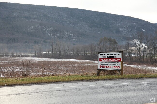
Rt 209, Napanoch, NY 12458

Property Detail
Rt 209
5689-083.001-0001-030.300-0000
ULSTER
Commercialacreage
New York
PCIM
30.300
AE The base floodplain where base flood elevations are provided. AE Zones are now used on new format FIRMs instead of A1-A30 Zones.
29.50 AC
2025
Hudson Valley Area
2025
Other Market Areas
954600
Kingston, NY
NEARBY LISTINGS FOR SALE OR LEASE
-
-
View all Napanoch listings for sale on LoopNet.com
DEMOGRAPHICS near Rt 209
1 mile
3 mile
5 mile
2025 Total Population
1,579
7,850
11,397
2030 Population
1,554
7,885
11,445
Pop Growth 2025-2030
(1.58%)
+ 0.45%
+ 0.42%
Average Age
42
41
42
2025 Total Households
596
2,883
3,901
HH Growth 2025-2030
(2.01%)
+ 0.31%
+ 0.28%
Median Household Inc
$76,372
$81,489
$78,886
Avg Household Size
2.40
2.50
2.40
2025 Avg HH Vehicles
2.00
2.00
2.00
Median Home Value
$259,090
$247,697
$253,784
Median Year Built
1958
1960
1960
Nearby Places
Map Layers
Map Styles
 Street
 Aerial
Layers
 Traffic
 Biking
Places
Listings with unknown addresses are not visible on the map
- Restaurants
- Banks
- Shops
- Fitness
- Groceries
PUBLIC TRANSPORTATION
AIRPORT
New York Stewart International
Drive
Walk
Distance
New York Stewart International
49 min
31.8 mi
Freight Ports
Albany, NY Port
Drive
Walk
Distance
Albany, NY Port
93 min
76.8 mi
Nearby Properties
Address
Land Use
TOTAL SIZE
Lot Size
Zoning
Address
Land Use
TOTAL SIZE
Lot Size
Zoning
195,514 SF
39.73 AC
05 - COMME
Address
Land Use
TOTAL SIZE
Lot Size
Zoning
168,959 SF
177.40 AC
VP
Address
Land Use
TOTAL SIZE
Lot Size
Zoning
129,112 SF
14.10 AC
MU
Address
Land Use
TOTAL SIZE
Lot Size
Zoning
39,327 SF
10.70 AC
05 - COMME
Address
Land Use
TOTAL SIZE
Lot Size
Zoning
363 AC
RR40
Address
Land Use
TOTAL SIZE
Lot Size
Zoning
52,650 SF
25.50 AC
PCIM
Address
Land Use
TOTAL SIZE
Lot Size
Zoning
59,864 SF
17.70 AC
BH
Address
Land Use
TOTAL SIZE
Lot Size
Zoning
82,557 SF
463.60 AC
VP
Address
Land Use
TOTAL SIZE
Lot Size
Zoning
3,208 SF
84.60 AC
IL
Address
Land Use
TOTAL SIZE
Lot Size
Zoning
500 SF
21.50 AC
RMH
Address
Land Use
TOTAL SIZE
Lot Size
Zoning
3,552 AC
RC40
Address
Land Use
TOTAL SIZE
Lot Size
Zoning
2,960 SF
3,716.78 AC
Address
Land Use
TOTAL SIZE
Lot Size
Zoning
8,928 SF
5.66 AC
R-3
Address
Land Use
TOTAL SIZE
Lot Size
Zoning
18,762 SF
3.19 AC
R-3
Address
Land Use
TOTAL SIZE
Lot Size
Zoning
19,097 SF
4.20 AC
MU
Address
Land Use
TOTAL SIZE
Lot Size
Zoning
19,752 SF
11 AC
05 - COMME
Address
Land Use
TOTAL SIZE
Lot Size
Zoning
15,080 SF
2.40 AC
05 - COMME
Address
Land Use
TOTAL SIZE
Lot Size
Zoning
29,280 SF
1.55 AC
05 - COMME
Address
Land Use
TOTAL SIZE
Lot Size
Zoning
1,500 SF
59 AC
RMH
Address
Land Use
TOTAL SIZE
Lot Size
Zoning
129,841 SF
8.13 AC
06 - INDUS
Address
Land Use
TOTAL SIZE
Lot Size
Zoning
4,048 SF
55.80 AC
MU
Address
Land Use
TOTAL SIZE
Lot Size
Zoning
1,229.61 AC
RC3AC
Address
Land Use
TOTAL SIZE
Lot Size
Zoning
22,665 SF
0.50 AC
06 - INDUS
Address
Land Use
TOTAL SIZE
Lot Size
Zoning
10,800 SF
0.64 AC
05 - COMME
Address
Land Use
TOTAL SIZE
Lot Size
Zoning
13,894 SF
41.40 AC
RU
Address
Land Use
TOTAL SIZE
Lot Size
Zoning
56,640 SF
1.90 AC
05 - COMME
Address
Land Use
TOTAL SIZE
Lot Size
Zoning
24,548 SF
1.54 AC
05 - COMME
Address
Land Use
TOTAL SIZE
Lot Size
Zoning
15,037 SF
3.42 AC
R-2
Address
Land Use
TOTAL SIZE
Lot Size
Zoning
924 SF
17.20 AC
BH
Address
Land Use
TOTAL SIZE
Lot Size
Zoning
3,696 SF
0.60 AC
B-1
The World's #1 Commercial Real Estate Marketplace
Connect with us
© 2026 CoStar Group
The information above has been obtained from sources believed reliable. While we do not doubt its accuracy we have not verified it and make no guarantee, warranty or representation about it. It is your responsibility to independently confirm its accuracy and completeness. Any projections, opinions, assumptions, or estimates used are for example only and do not represent the current or future performance of the property. The value of this transaction to you depends on tax and other factors which should be evaluated by your tax, financial, and legal advisors. You and your advisors should conduct a careful, independent investigation of the property to determine to your satisfaction the suitability of the property for your needs.