Property Record
Rupp Rd, Grand Ledge, MI 48837

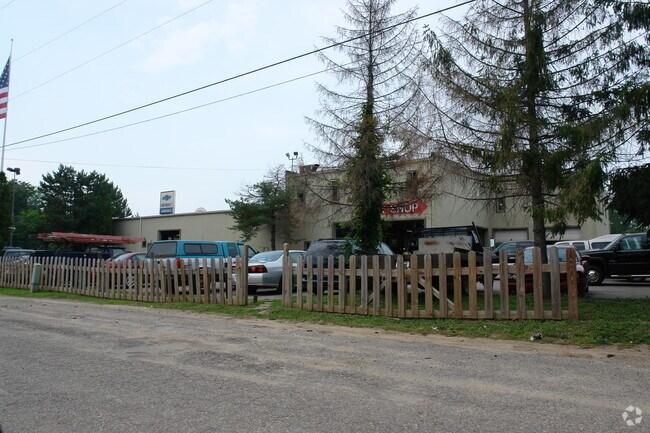
Property Detail
Rupp Rd
Lansing-East Lansing, MI
LOT 11. S 340 FEET OF LOT 12 MAYWOOD SUBDIVISION SEC.12, T4N,R4W, ONEIDA TWP
030-065-600-123-00
EATON
Commercialnec
Michigan
B-2 COM
11-12
B and X Area of moderate flood hazard, usually the area between the limits of the 100-year and 500-year floods.
0.20 AC
2024
Outlying Eaton County
2025
West Michigan
020402
NEARBY LISTINGS FOR SALE OR LEASE
DEMOGRAPHICS near Rupp Rd
1 mile
3 mile
5 mile
2025 Total Population
2,632
19,209
36,338
2030 Population
2,687
19,359
36,464
Pop Growth 2025-2030
+ 2.09%
+ 0.78%
+ 0.35%
Average Age
44
42
43
2025 Total Households
1,038
8,084
15,978
HH Growth 2025-2030
+ 2.12%
+ 0.87%
+ 0.41%
Median Household Inc
$99,038
$84,050
$78,889
Avg Household Size
2.50
2.30
2.20
2025 Avg HH Vehicles
2.00
2.00
2.00
Median Home Value
$274,253
$263,082
$262,622
Median Year Built
1986
1978
1979
Nearby Places
Map Layers
Map Styles
 Street
 Aerial
Layers
 Traffic
 Biking
Places
Listings with unknown addresses are not visible on the map
- Restaurants
- Banks
- Shops
- Fitness
- Groceries
PUBLIC TRANSPORTATION
AIRPORT
Capital Region International
Drive
Walk
Distance
Capital Region International
17 min
10.9 mi
Freight Ports
Port of Toledo
Drive
Walk
Distance
Port of Toledo
157 min
134.5 mi
Nearby Properties
Address
Land Use
TOTAL SIZE
Lot Size
Zoning
Address
Land Use
TOTAL SIZE
Lot Size
Zoning
238,602 SF
14.49 AC
Address
Land Use
TOTAL SIZE
Lot Size
Zoning
336,591 SF
37.81 AC
NONE
Address
Land Use
TOTAL SIZE
Lot Size
Zoning
95.90 AC
NONE
Address
Land Use
TOTAL SIZE
Lot Size
Zoning
260,958 SF
19.17 AC
NONE
Address
Land Use
TOTAL SIZE
Lot Size
Zoning
144,394 SF
11.70 AC
R-PC
Address
Land Use
TOTAL SIZE
Lot Size
Zoning
95,747 SF
7.17 AC
NONE
Address
Land Use
TOTAL SIZE
Lot Size
Zoning
212,527 SF
23 AC
B-1
Address
Land Use
TOTAL SIZE
Lot Size
Zoning
80,149 SF
9.99 AC
NONE
Address
Land Use
TOTAL SIZE
Lot Size
Zoning
219,899 SF
19.66 AC
NONE
Address
Land Use
TOTAL SIZE
Lot Size
Zoning
73,646 SF
9.59 AC
NONE
Address
Land Use
TOTAL SIZE
Lot Size
Zoning
1,536 SF
34.70 AC
A-2
Address
Land Use
TOTAL SIZE
Lot Size
Zoning
137,137 SF
13.75 AC
NONE
Address
Land Use
TOTAL SIZE
Lot Size
Zoning
41,087 SF
5.76 AC
NONE
Address
Land Use
TOTAL SIZE
Lot Size
Zoning
101,506 SF
9.22 AC
NONE
Address
Land Use
TOTAL SIZE
Lot Size
Zoning
121,730 SF
15.05 AC
NONE
Address
Land Use
TOTAL SIZE
Lot Size
Zoning
243,716 SF
20.52 AC
NONE
Address
Land Use
TOTAL SIZE
Lot Size
Zoning
4.15 AC
R-PC
Address
Land Use
TOTAL SIZE
Lot Size
Zoning
37,659 SF
3.50 AC
B-1
Address
Land Use
TOTAL SIZE
Lot Size
Zoning
3,244 SF
27.11 AC
NONE
Address
Land Use
TOTAL SIZE
Lot Size
Zoning
220,749 SF
39.81 AC
I-1
Address
Land Use
TOTAL SIZE
Lot Size
Zoning
72,235 SF
8.36 AC
NONE
Address
Land Use
TOTAL SIZE
Lot Size
Zoning
74,426 SF
11.92 AC
NONE
Address
Land Use
TOTAL SIZE
Lot Size
Zoning
148,093 SF
13.85 AC
NONE
Address
Land Use
TOTAL SIZE
Lot Size
Zoning
76,835 SF
19.59 AC
NONE
Address
Land Use
TOTAL SIZE
Lot Size
Zoning
73,728 SF
4.35 AC
R-PC
Address
Land Use
TOTAL SIZE
Lot Size
Zoning
87,091 SF
11.76 AC
NONE
Address
Land Use
TOTAL SIZE
Lot Size
Zoning
115.60 AC
I-1
Address
Land Use
TOTAL SIZE
Lot Size
Zoning
46,538 SF
7.31 AC
NONE
Address
Land Use
TOTAL SIZE
Lot Size
Zoning
109,075 SF
6.26 AC
NONE
Address
Land Use
TOTAL SIZE
Lot Size
Zoning
58,756 SF
3.96 AC
NONE
The World's #1 Commercial Real Estate Marketplace
Connect with us
© 2026 CoStar Group
The information above has been obtained from sources believed reliable. While we do not doubt its accuracy we have not verified it and make no guarantee, warranty or representation about it. It is your responsibility to independently confirm its accuracy and completeness. Any projections, opinions, assumptions, or estimates used are for example only and do not represent the current or future performance of the property. The value of this transaction to you depends on tax and other factors which should be evaluated by your tax, financial, and legal advisors. You and your advisors should conduct a careful, independent investigation of the property to determine to your satisfaction the suitability of the property for your needs.