Property Record
Russell Rd, Maumee, OH 43537
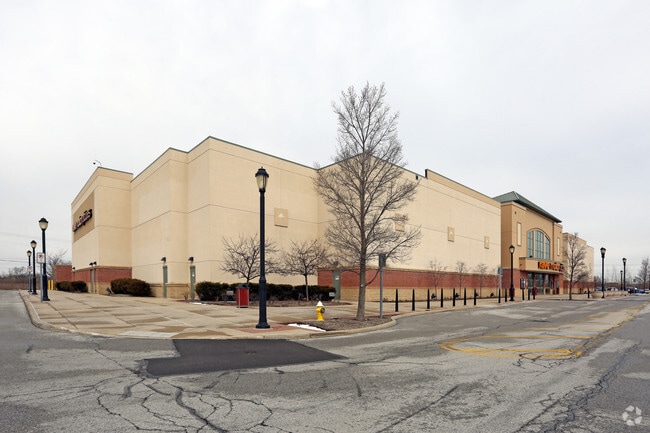


Property Detail
Russell Rd
35-00035
REPLAT OF LOT 1 OF SHOPS AT FALLEN TIMBERS LOT 105(SEE PARID 35-55584
Countyproperty
LUCAS
16-CM
Ohio
B and X Area of moderate flood hazard, usually the area between the limits of the 100-year and 500-year floods.
1,105
2025
6.95 AC
2025
South/Southwest
007104
Toledo
67,264 SF
Toledo, OH
NEARBY LISTINGS FOR SALE OR LEASE
DEMOGRAPHICS near Russell Rd
1 mile
3 mile
5 mile
2025 Total Population
3,097
24,801
81,116
2030 Population
3,084
24,787
80,610
Pop Growth 2025-2030
(0.42%)
(0.06%)
(0.62%)
Average Age
52
43
42
2025 Total Households
1,423
9,332
33,706
HH Growth 2025-2030
(0.42%)
(0.11%)
(0.72%)
Median Household Inc
$96,938
$136,188
$96,059
Avg Household Size
2.10
2.60
2.30
2025 Avg HH Vehicles
2.00
2.00
2.00
Median Home Value
$313,131
$364,090
$294,798
Median Year Built
2008
2000
1982
Nearby Places
Map Layers
Map Styles
 Street
 Aerial
Transit
 Traffic
 Biking
Places
Listings with unknown addresses are not visible on the map
- Restaurants
- Banks
- Shops
- Fitness
- Groceries
PUBLIC TRANSPORTATION
AIRPORT
Eugene F Kranz Toledo Express
Drive
Walk
Distance
Eugene F Kranz Toledo Express
25 min
10.3 mi
Freight Ports
Drive
Walk
Distance
32 min
18.4 mi
Nearby Properties
Address
Land Use
TOTAL SIZE
Lot Size
Zoning
Address
Land Use
TOTAL SIZE
Lot Size
Zoning
541,518 SF
21.30 AC
16-R1
Address
Land Use
TOTAL SIZE
Lot Size
Zoning
275,990 SF
49.65 AC
16-CM
Address
Land Use
TOTAL SIZE
Lot Size
Zoning
183,376 SF
16.04 AC
Address
Land Use
TOTAL SIZE
Lot Size
Zoning
35.94 AC
17-C3
Address
Land Use
TOTAL SIZE
Lot Size
Zoning
231,756 SF
31.37 AC
16-M1
Address
Land Use
TOTAL SIZE
Lot Size
Zoning
606,883 SF
119.87 AC
16-M2
Address
Land Use
TOTAL SIZE
Lot Size
Zoning
337,990 SF
17.75 AC
16-M1
Address
Land Use
TOTAL SIZE
Lot Size
Zoning
8.57 AC
16-M1
Address
Land Use
TOTAL SIZE
Lot Size
Zoning
608,280 SF
48.86 AC
16-M2
Address
Land Use
TOTAL SIZE
Lot Size
Zoning
212,672 SF
15.98 AC
17-R1
Address
Land Use
TOTAL SIZE
Lot Size
Zoning
350,408 SF
20.83 AC
17-M2
Address
Land Use
TOTAL SIZE
Lot Size
Zoning
119.87 AC
16-M2
Address
Land Use
TOTAL SIZE
Lot Size
Zoning
78,166 SF
2.08 AC
16-CM
Address
Land Use
TOTAL SIZE
Lot Size
Zoning
104,314 SF
15.43 AC
16-M2
Address
Land Use
TOTAL SIZE
Lot Size
Zoning
32.75 AC
16-M2
Address
Land Use
TOTAL SIZE
Lot Size
Zoning
86,450 SF
6.33 AC
17-R3
Address
Land Use
TOTAL SIZE
Lot Size
Zoning
262,764 SF
30.39 AC
17-M1
Address
Land Use
TOTAL SIZE
Lot Size
Zoning
3.12 AC
16-CM
Address
Land Use
TOTAL SIZE
Lot Size
Zoning
69,707 SF
9.36 AC
17-RA
Address
Land Use
TOTAL SIZE
Lot Size
Zoning
48,640 SF
10.98 AC
17-R1
Address
Land Use
TOTAL SIZE
Lot Size
Zoning
74,276 SF
13.08 AC
Address
Land Use
TOTAL SIZE
Lot Size
Zoning
128,249 SF
55.62 AC
17-MX
Address
Land Use
TOTAL SIZE
Lot Size
Zoning
114,721 SF
29.03 AC
17-AR
Address
Land Use
TOTAL SIZE
Lot Size
Zoning
82,672 SF
10.80 AC
17-R1
Address
Land Use
TOTAL SIZE
Lot Size
Zoning
69,139 SF
22.29 AC
39-R1
Address
Land Use
TOTAL SIZE
Lot Size
Zoning
77,030 SF
4.41 AC
16-M1
Address
Land Use
TOTAL SIZE
Lot Size
Zoning
47,612 SF
4.20 AC
16-CM
Address
Land Use
TOTAL SIZE
Lot Size
Zoning
60,162 SF
9.83 AC
16-CM
Address
Land Use
TOTAL SIZE
Lot Size
Zoning
181,800 SF
10 AC
16-M1
The World's #1 Commercial Real Estate Marketplace
Connect with us
© 2026 CoStar Group
The information above has been obtained from sources believed reliable. While we do not doubt its accuracy we have not verified it and make no guarantee, warranty or representation about it. It is your responsibility to independently confirm its accuracy and completeness. Any projections, opinions, assumptions, or estimates used are for example only and do not represent the current or future performance of the property. The value of this transaction to you depends on tax and other factors which should be evaluated by your tax, financial, and legal advisors. You and your advisors should conduct a careful, independent investigation of the property to determine to your satisfaction the suitability of the property for your needs.