Property Record
S 131St Rd, Bolivar, MO 65613
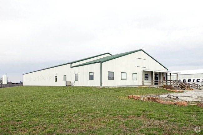

Property Detail
S 131St Rd
Springfield, MO
SOUTHRIDGE COMMERCIAL DEVELOPMENT 2 - LOT 10A1
8910093000000000611
POLK
Auditorium
Missouri
B and X Area of moderate flood hazard, usually the area between the limits of the 100-year and 500-year floods.
10a1
0
1.53 AC
2024
Polk County
960302
Springfield
9,200 SF
NEARBY LISTINGS FOR SALE OR LEASE
-
-
View all Bolivar listings for sale on LoopNet.com
DEMOGRAPHICS near S 131St Rd
1 mile
3 mile
5 mile
2025 Total Population
499
4,152
14,579
2030 Population
521
4,311
15,044
Pop Growth 2025-2030
+ 4.41%
+ 3.83%
+ 3.19%
Average Age
39
38
38
2025 Total Households
196
1,584
5,623
HH Growth 2025-2030
+ 4.08%
+ 4.04%
+ 3.31%
Median Household Inc
$57,999
$52,459
$52,068
Avg Household Size
2.40
2.40
2.40
2025 Avg HH Vehicles
2.00
2.00
2.00
Median Home Value
$235,294
$245,387
$218,421
Median Year Built
1994
1993
1984
Nearby Places
Map Layers
Map Styles
 Street
 Aerial
Transit
 Traffic
 Biking
Places
Listings with unknown addresses are not visible on the map
- Restaurants
- Banks
- Shops
- Fitness
- Groceries
PUBLIC TRANSPORTATION
AIRPORT
Springfield-Branson Ntl
Drive
Walk
Distance
Springfield-Branson Ntl
44 min
30.9 mi
SALE & LEASE HISTORY
LISTING DATE
SALE/LEASE

Sep 03, 2019
For Sale
Oct 14, 2020
For Sale
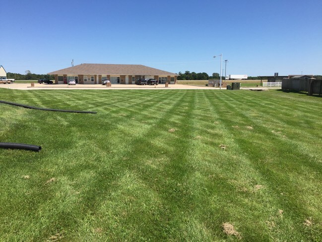
Nearby Properties
Address
Land Use
TOTAL SIZE
Lot Size
Zoning
Address
Land Use
TOTAL SIZE
Lot Size
Zoning
51,549 SF
11.02 AC
Address
Land Use
TOTAL SIZE
Lot Size
Zoning
768 SF
10.88 AC
Address
Land Use
TOTAL SIZE
Lot Size
Zoning
7,796 SF
10.88 AC
Address
Land Use
TOTAL SIZE
Lot Size
Zoning
14,216 SF
2.79 AC
Address
Land Use
TOTAL SIZE
Lot Size
Zoning
67,200 SF
19.64 AC
Address
Land Use
TOTAL SIZE
Lot Size
Zoning
9,000 SF
4.44 AC
Address
Land Use
TOTAL SIZE
Lot Size
Zoning
101,850 SF
7.38 AC
Address
Land Use
TOTAL SIZE
Lot Size
Zoning
20,233 SF
2.10 AC
Address
Land Use
TOTAL SIZE
Lot Size
Zoning
10,848 SF
1.77 AC
Address
Land Use
TOTAL SIZE
Lot Size
Zoning
11,394 SF
14.21 AC
Address
Land Use
TOTAL SIZE
Lot Size
Zoning
7,523 SF
1.14 AC
Address
Land Use
TOTAL SIZE
Lot Size
Zoning
12,380 SF
1.86 AC
Address
Land Use
TOTAL SIZE
Lot Size
Zoning
6,893 SF
3.15 AC
Address
Land Use
TOTAL SIZE
Lot Size
Zoning
18,210 SF
1.86 AC
Address
Land Use
TOTAL SIZE
Lot Size
Zoning
8,045 SF
1.54 AC
Address
Land Use
TOTAL SIZE
Lot Size
Zoning
800 SF
4.41 AC
Address
Land Use
TOTAL SIZE
Lot Size
Zoning
2,400 SF
2.26 AC
Address
Land Use
TOTAL SIZE
Lot Size
Zoning
13,628 SF
1.68 AC
Address
Land Use
TOTAL SIZE
Lot Size
Zoning
4,923 SF
1.50 AC
Address
Land Use
TOTAL SIZE
Lot Size
Zoning
11,880 SF
3.14 AC
Address
Land Use
TOTAL SIZE
Lot Size
Zoning
1,480 SF
4 AC
Address
Land Use
TOTAL SIZE
Lot Size
Zoning
1,995 SF
0.70 AC
Address
Land Use
TOTAL SIZE
Lot Size
Zoning
2,016 SF
0.89 AC
Address
Land Use
TOTAL SIZE
Lot Size
Zoning
12,665 SF
1.20 AC
Address
Land Use
TOTAL SIZE
Lot Size
Zoning
3,072 SF
0.10 AC
Address
Land Use
TOTAL SIZE
Lot Size
Zoning
250,000 SF
0.44 AC
Address
Land Use
TOTAL SIZE
Lot Size
Zoning
5,382 SF
1.44 AC
Address
Land Use
TOTAL SIZE
Lot Size
Zoning
4,800 SF
4.71 AC
Address
Land Use
TOTAL SIZE
Lot Size
Zoning
400 SF
6.71 AC
The World's #1 Commercial Real Estate Marketplace
Connect with us
© 2026 CoStar Group
The information above has been obtained from sources believed reliable. While we do not doubt its accuracy we have not verified it and make no guarantee, warranty or representation about it. It is your responsibility to independently confirm its accuracy and completeness. Any projections, opinions, assumptions, or estimates used are for example only and do not represent the current or future performance of the property. The value of this transaction to you depends on tax and other factors which should be evaluated by your tax, financial, and legal advisors. You and your advisors should conduct a careful, independent investigation of the property to determine to your satisfaction the suitability of the property for your needs.