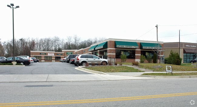
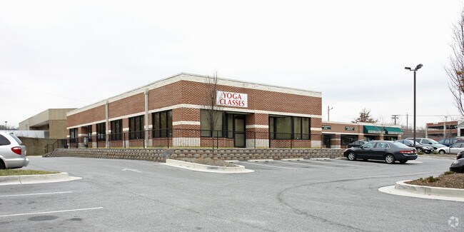
Property Record
S Dolfield Rd, Upperco, MD 21155

Property Detail
S Dolfield Rd
04-1700014807
1.3053 AC SWS
Officebuilding
BALTIMORE
MLIM
Maryland
AE The base floodplain where base flood elevations are provided. AE Zones are now used on new format FIRMs instead of A1-A30 Zones.
d
2024
1.30 AC
2025
Reisterstown Rd Corridor
404102
Baltimore
9,440 SF
Baltimore-Columbia-Towson, MD
NEARBY LISTINGS FOR SALE OR LEASE
DEMOGRAPHICS near S Dolfield Rd
1 mile
3 mile
5 mile
2025 Total Population
10,911
84,003
173,086
2030 Population
11,013
84,289
173,311
Pop Growth 2025-2030
+ 0.93%
+ 0.34%
+ 0.13%
Average Age
35
40
41
2025 Total Households
4,125
32,932
67,763
HH Growth 2025-2030
+ 1.12%
+ 0.36%
+ 0.14%
Median Household Inc
$81,775
$96,246
$93,138
Avg Household Size
2.30
2.40
2.50
2025 Avg HH Vehicles
1.00
2.00
2.00
Median Home Value
$328,592
$345,681
$353,654
Median Year Built
1985
1990
1982
Nearby Places
Map Layers
Map Styles
 Street
 Aerial
Transit
 Traffic
 Biking
Places
Listings with unknown addresses are not visible on the map
- Restaurants
- Banks
- Shops
- Fitness
- Groceries
PUBLIC TRANSPORTATION
TRANSIT/SUBWAY
Owings Mills (Metro Subway - Maryland Transit Administration Metro Subway (Baltimore Metro))
Drive
Walk
Distance
Owings Mills (Metro Subway - Maryland Transit Administration Metro Subway (Baltimore Metro))
4 min
8 min
0.4 mi
AIRPORT
Baltimore/Washington International Thurgood Marshall
Drive
Walk
Distance
Baltimore/Washington International Thurgood Marshall
27 min
22.2 mi
Freight Ports
Port of Baltimore
Drive
Walk
Distance
Port of Baltimore
1 min
14.0 mi
SALE & LEASE HISTORY
LISTING DATE
SALE/LEASE

Jul 07, 2020
For Lease
Dec 14, 2022
For Lease
Nearby Properties
Address
Land Use
TOTAL SIZE
Lot Size
Zoning
Address
Land Use
TOTAL SIZE
Lot Size
Zoning
408,321 SF
39.16 AC
BM
Address
Land Use
TOTAL SIZE
Lot Size
Zoning
630,367 SF
470.44 AC
DR1
Address
Land Use
TOTAL SIZE
Lot Size
Zoning
569,200 SF
8.82 AC
BM
Address
Land Use
TOTAL SIZE
Lot Size
Zoning
250,000 SF
1.61 AC
BMCT
Address
Land Use
TOTAL SIZE
Lot Size
Zoning
Address
Land Use
TOTAL SIZE
Lot Size
Zoning
452,042 SF
17.18 AC
RAE2
Address
Land Use
TOTAL SIZE
Lot Size
Zoning
709,328 SF
25.59 AC
OT
Address
Land Use
TOTAL SIZE
Lot Size
Zoning
12 AC
DR10
Address
Land Use
TOTAL SIZE
Lot Size
Zoning
23.07 AC
DR16
Address
Land Use
TOTAL SIZE
Lot Size
Zoning
4.31 AC
BM-CT
Address
Land Use
TOTAL SIZE
Lot Size
Zoning
300,838 SF
33.27 AC
DR105
Address
Land Use
TOTAL SIZE
Lot Size
Zoning
336,539 SF
12.38 AC
DR16
Address
Land Use
TOTAL SIZE
Lot Size
Zoning
Address
Land Use
TOTAL SIZE
Lot Size
Zoning
159.90 AC
Address
Land Use
TOTAL SIZE
Lot Size
Zoning
464,593 SF
6.38 AC
BM
Address
Land Use
TOTAL SIZE
Lot Size
Zoning
333,600 SF
8.39 AC
ML
Address
Land Use
TOTAL SIZE
Lot Size
Zoning
281,620 SF
8.58 AC
Address
Land Use
TOTAL SIZE
Lot Size
Zoning
756,000 SF
2.63 AC
Address
Land Use
TOTAL SIZE
Lot Size
Zoning
224,204 SF
7.64 AC
RAE2
Address
Land Use
TOTAL SIZE
Lot Size
Zoning
589,225 SF
1.96 AC
Address
Land Use
TOTAL SIZE
Lot Size
Zoning
99,153 SF
9.41 AC
OR2
Address
Land Use
TOTAL SIZE
Lot Size
Zoning
13.82 AC
DR16
Address
Land Use
TOTAL SIZE
Lot Size
Zoning
146,149 SF
1.08 AC
BM-CT
Address
Land Use
TOTAL SIZE
Lot Size
Zoning
285,044 SF
15.16 AC
MLIM
Address
Land Use
TOTAL SIZE
Lot Size
Zoning
Address
Land Use
TOTAL SIZE
Lot Size
Zoning
7.05 AC
BM
Address
Land Use
TOTAL SIZE
Lot Size
Zoning
252,674 SF
11.49 AC
DR16
Address
Land Use
TOTAL SIZE
Lot Size
Zoning
91,160 SF
2.53 AC
Address
Land Use
TOTAL SIZE
Lot Size
Zoning
190,068 SF
8.40 AC
RAE2
Address
Land Use
TOTAL SIZE
Lot Size
Zoning
186,708 SF
10.92 AC
DR3.5
The World's #1 Commercial Real Estate Marketplace
Connect with us
© 2026 CoStar Group
The information above has been obtained from sources believed reliable. While we do not doubt its accuracy we have not verified it and make no guarantee, warranty or representation about it. It is your responsibility to independently confirm its accuracy and completeness. Any projections, opinions, assumptions, or estimates used are for example only and do not represent the current or future performance of the property. The value of this transaction to you depends on tax and other factors which should be evaluated by your tax, financial, and legal advisors. You and your advisors should conduct a careful, independent investigation of the property to determine to your satisfaction the suitability of the property for your needs.