Property Record
Sw 36Th St, Newton, KS 67114
NEARBY LISTINGS FOR SALE OR LEASE
Property Detail
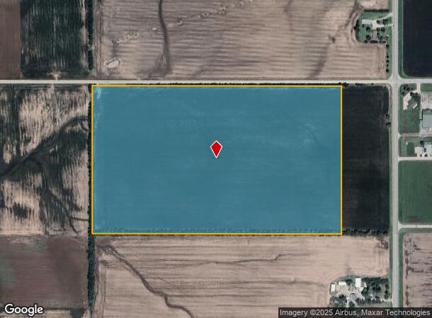
Sw 36Th St
123-05-0-00-00-001.00-0
S05, T24, R01E, ACRES 64.7, N1/2 NE1/4 EXC BEG 50W & 30S NE COR NE1/4, S1292.69, W414, N1291.06, E414 TO POB, LESS ROW
Agriculturalland
Harvey
X
Kansas
20173C0100G
64.74 AC
2024
Newton/Hesston
2025
Wichita
030400
Wichita, KS
DEMOGRAPHICS near Sw 36Th St
1 Mile
3 Mile
5 Mile
2024 Total Population
301
6,267
19,618
2029 Population
291
6,210
19,490
Pop Growth 2024-2029
(3.32%)
(0.91%)
(0.65%)
Average Age
42
40
41
2024 Total Households
110
2,436
7,852
HH Growth 2024-2029
(2.73%)
(0.94%)
(0.71%)
Median Household Inc
$72,631
$67,866
$60,461
Avg Household Size
2.70
2.50
2.40
2024 Avg HH Vehicles
3.00
2.00
2.00
Median Home Value
$305,000
$151,597
$125,649
Median Year Built
1962
1978
1961
Nearby Places
Map Layers
Map Styles
 Street
 Aerial
- Restaurants
- Banks
- Shops
- Fitness
- Groceries
PUBLIC TRANSPORTATION
COMMUTER RAIL
Newton (Southwest Chief - Amtrak)
DRIVE
WALK
Distance
Newton (Southwest Chief - Amtrak)
6 min
3.7 mi
AIRPORT
Wichita Dwight D Eisenhower Ntl
DRIVE
WALK
Distance
Wichita Dwight D Eisenhower Ntl
37 min
28.8 mi
Freight Ports
Tulsa Port Of Catoosa
DRIVE
WALK
Distance
Tulsa Port Of Catoosa
230 min
214.7 mi
SALE & LEASE HISTORY
LISTING DATE
SALE/LEASE

Sep 24, 2016
For Sale
Nearby Properties
Address
Land Use
TOTAL SIZE
Lot Size
Zoning
Address
Land Use
TOTAL SIZE
Lot Size
Zoning
3,400 SF
46.30 AC
Address
Land Use
TOTAL SIZE
Lot Size
Zoning
81,340 SF
12.31 AC
Address
Land Use
TOTAL SIZE
Lot Size
Zoning
19,697 SF
0.15 AC
Address
Land Use
TOTAL SIZE
Lot Size
Zoning
51,225 SF
5.70 AC
R1
Address
Land Use
TOTAL SIZE
Lot Size
Zoning
49,910 SF
17.05 AC
R1
Address
Land Use
TOTAL SIZE
Lot Size
Zoning
36,685 SF
6.10 AC
Address
Land Use
TOTAL SIZE
Lot Size
Zoning
17,926 SF
0.14 AC
Address
Land Use
TOTAL SIZE
Lot Size
Zoning
13,246 SF
1.20 AC
Address
Land Use
TOTAL SIZE
Lot Size
Zoning
93,229 SF
18.28 AC
Address
Land Use
TOTAL SIZE
Lot Size
Zoning
15,116 SF
2.50 AC
Address
Land Use
TOTAL SIZE
Lot Size
Zoning
19,915 SF
0.15 AC
Address
Land Use
TOTAL SIZE
Lot Size
Zoning
12,600 SF
3.70 AC
Address
Land Use
TOTAL SIZE
Lot Size
Zoning
14,500 SF
2.55 AC
Address
Land Use
TOTAL SIZE
Lot Size
Zoning
2,904 SF
65.30 AC
Address
Land Use
TOTAL SIZE
Lot Size
Zoning
14,000 SF
79 AC
Address
Land Use
TOTAL SIZE
Lot Size
Zoning
56,160 SF
8.38 AC
Address
Land Use
TOTAL SIZE
Lot Size
Zoning
88,592 SF
11.46 AC
Address
Land Use
TOTAL SIZE
Lot Size
Zoning
5,503 SF
0.75 AC
Address
Land Use
TOTAL SIZE
Lot Size
Zoning
96.70 AC
Address
Land Use
TOTAL SIZE
Lot Size
Zoning
4,777 SF
0.10 AC
Address
Land Use
TOTAL SIZE
Lot Size
Zoning
37,600 SF
7.84 AC
C2
Address
Land Use
TOTAL SIZE
Lot Size
Zoning
4,320 SF
3.48 AC
Address
Land Use
TOTAL SIZE
Lot Size
Zoning
4,259 SF
Address
Land Use
TOTAL SIZE
Lot Size
Zoning
4,091 SF
0.09 AC
Address
Land Use
TOTAL SIZE
Lot Size
Zoning
6,694 SF
0.89 AC
R1
Address
Land Use
TOTAL SIZE
Lot Size
Zoning
12,000 SF
4.40 AC
Address
Land Use
TOTAL SIZE
Lot Size
Zoning
25,965 SF
3 AC
Address
Land Use
TOTAL SIZE
Lot Size
Zoning
29,300 SF
11.05 AC
Address
Land Use
TOTAL SIZE
Lot Size
Zoning
13,227 SF
2.26 AC
Address
Land Use
TOTAL SIZE
Lot Size
Zoning
2,199 SF
1.14 AC
The World's #1 Commercial Real Estate Marketplace
Connect with us
© 2025 CoStar Group
The information above has been obtained from sources believed reliable. While we do not doubt its accuracy we have not verified it and make no guarantee, warranty or representation about it. It is your responsibility to independently confirm its accuracy and completeness. Any projections, opinions, assumptions, or estimates used are for example only and do not represent the current or future performance of the property. The value of this transaction to you depends on tax and other factors which should be evaluated by your tax, financial, and legal advisors. You and your advisors should conduct a careful, independent investigation of the property to determine to your satisfaction the suitability of the property for your needs.