Property Record
S L & N Tpke, , KY

Property Detail
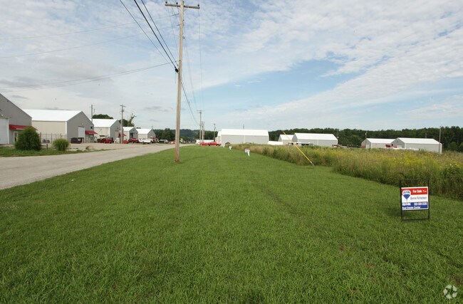
S L & N Tpke
Elizabethtown, KY
SOUTH JEFFERSON IND PK LT 19
137-00-01-019
HARDIN
Commercialnec
Kentucky
A Areas with a 1% annual chance of flooding and a 26% chance of flooding over the life of a 30-year mortgage.
19
2025
0.81 AC
2025
Kentucky West Area
980100
Other Market Areas
NEARBY LISTINGS FOR SALE OR LEASE
-
-
View all listings for sale on LoopNet.com
DEMOGRAPHICS near S L & N Tpke
1 mile
3 mile
5 mile
2024 Total Population
255
1,350
4,746
2029 Population
269
1,424
4,951
Pop Growth 2024-2029
+ 5.49%
+ 5.48%
+ 4.32%
Average Age
39
39
36
2024 Total Households
107
560
1,630
HH Growth 2024-2029
+ 5.61%
+ 5.71%
+ 4.91%
Median Household Inc
$36,785
$37,749
$52,326
Avg Household Size
2.40
2.40
2.50
2024 Avg HH Vehicles
2.00
2.00
2.00
Median Home Value
$95,454
$101,333
$125,842
Median Year Built
1959
1959
1972
Nearby Places
Map Layers
Map Styles
 Street
 Aerial
Transit
 Traffic
 Biking
Places
Listings with unknown addresses are not visible on the map
- Restaurants
- Banks
- Shops
- Fitness
- Groceries
PUBLIC TRANSPORTATION
AIRPORT
Louisville Muhammad Ali International
Drive
Walk
Distance
Louisville Muhammad Ali International
33 min
20.7 mi
Freight Ports
Port of Toledo
Drive
Walk
Distance
Port of Toledo
388 min
327.7 mi
Nearby Properties
Address
Land Use
TOTAL SIZE
Lot Size
Zoning
Address
Land Use
TOTAL SIZE
Lot Size
Zoning
28.38 AC
Address
Land Use
TOTAL SIZE
Lot Size
Zoning
Address
Land Use
TOTAL SIZE
Lot Size
Zoning
Address
Land Use
TOTAL SIZE
Lot Size
Zoning
Address
Land Use
TOTAL SIZE
Lot Size
Zoning
55.85 AC
Address
Land Use
TOTAL SIZE
Lot Size
Zoning
240 SF
60.74 AC
M3-INDUSTR
Address
Land Use
TOTAL SIZE
Lot Size
Zoning
256 SF
2 AC
Address
Land Use
TOTAL SIZE
Lot Size
Zoning
Address
Land Use
TOTAL SIZE
Lot Size
Zoning
Address
Land Use
TOTAL SIZE
Lot Size
Zoning
2,058 SF
152 AC
Address
Land Use
TOTAL SIZE
Lot Size
Zoning
4,500 SF
0.69 AC
Address
Land Use
TOTAL SIZE
Lot Size
Zoning
105 AC
Address
Land Use
TOTAL SIZE
Lot Size
Zoning
0.19 AC
Address
Land Use
TOTAL SIZE
Lot Size
Zoning
0.30 AC
Address
Land Use
TOTAL SIZE
Lot Size
Zoning
1.31 AC
Address
Land Use
TOTAL SIZE
Lot Size
Zoning
0.28 AC
Address
Land Use
TOTAL SIZE
Lot Size
Zoning
30.56 AC
R4-RESIDEN
Address
Land Use
TOTAL SIZE
Lot Size
Zoning
Address
Land Use
TOTAL SIZE
Lot Size
Zoning
Address
Land Use
TOTAL SIZE
Lot Size
Zoning
361 AC
Address
Land Use
TOTAL SIZE
Lot Size
Zoning
Address
Land Use
TOTAL SIZE
Lot Size
Zoning
7,458 SF
1 AC
Address
Land Use
TOTAL SIZE
Lot Size
Zoning
3,200 SF
1.03 AC
Address
Land Use
TOTAL SIZE
Lot Size
Zoning
0.65 AC
Address
Land Use
TOTAL SIZE
Lot Size
Zoning
Address
Land Use
TOTAL SIZE
Lot Size
Zoning
Address
Land Use
TOTAL SIZE
Lot Size
Zoning
0.39 AC
Address
Land Use
TOTAL SIZE
Lot Size
Zoning
1.72 AC
Address
Land Use
TOTAL SIZE
Lot Size
Zoning
The World's #1 Commercial Real Estate Marketplace
Connect with us
© 2026 CoStar Group
The information above has been obtained from sources believed reliable. While we do not doubt its accuracy we have not verified it and make no guarantee, warranty or representation about it. It is your responsibility to independently confirm its accuracy and completeness. Any projections, opinions, assumptions, or estimates used are for example only and do not represent the current or future performance of the property. The value of this transaction to you depends on tax and other factors which should be evaluated by your tax, financial, and legal advisors. You and your advisors should conduct a careful, independent investigation of the property to determine to your satisfaction the suitability of the property for your needs.