Property Record
539 S Main St, Baxley, GA 31513


Property Detail
539 S Main St
G003-005
293
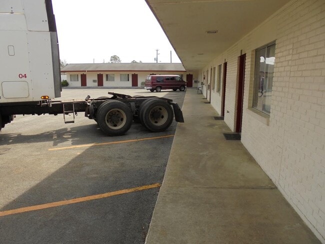
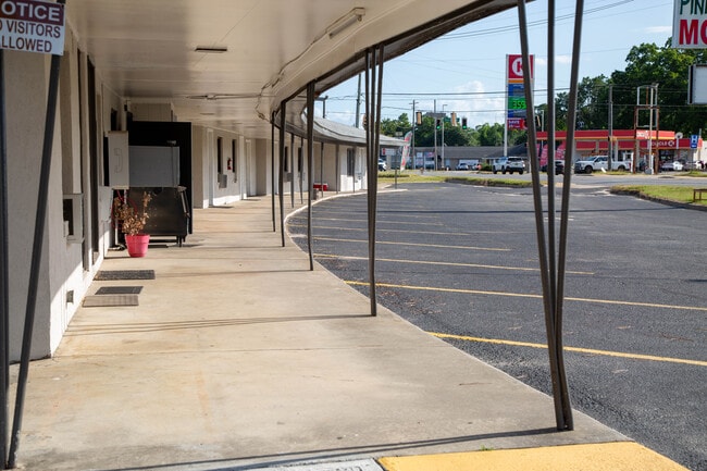
Motel
Appling
B and X Area of moderate flood hazard, usually the area between the limits of the 100-year and 500-year floods.
Georgia
2025
293
2025
2.95 AC
950301
Georgia South Area
1,467 SF
Other Market Areas
NEARBY LISTINGS FOR SALE OR LEASE
-
-
View all Baxley listings for sale on LoopNet.com
DEMOGRAPHICS near 539 S Main St
1 mile
3 mile
5 mile
2025 Total Population
2,785
7,713
9,630
2030 Population
2,860
7,826
9,753
Pop Growth 2025-2030
+ 2.69%
+ 1.47%
+ 1.28%
Average Age
39
40
40
2025 Total Households
1,081
2,916
3,613
HH Growth 2025-2030
+ 2.87%
+ 1.58%
+ 1.36%
Median Household Inc
$33,694
$36,482
$37,670
Avg Household Size
2.50
2.50
2.50
2025 Avg HH Vehicles
1.00
1.00
2.00
Median Home Value
$85,558
$98,386
$101,302
Median Year Built
1973
1978
1979
Nearby Places
Map Layers
Map Styles
 Street
 Aerial
Transit
 Traffic
 Biking
Places
Listings with unknown addresses are not visible on the map
- Restaurants
- Banks
- Shops
- Fitness
- Groceries
SALE & LEASE HISTORY
LISTING DATE
SALE/LEASE

Jun 22, 2024
For Sale
Feb 25, 2020
For Sale
Aug 26, 2025
For Sale
Nearby Properties
Address
Land Use
TOTAL SIZE
Lot Size
Zoning
Address
Land Use
TOTAL SIZE
Lot Size
Zoning
321,025 SF
11.36 AC
Address
Land Use
TOTAL SIZE
Lot Size
Zoning
105,276 SF
14.13 AC
Address
Land Use
TOTAL SIZE
Lot Size
Zoning
29.63 AC
Address
Land Use
TOTAL SIZE
Lot Size
Zoning
12.29 AC
Address
Land Use
TOTAL SIZE
Lot Size
Zoning
5,152 SF
1.61 AC
Address
Land Use
TOTAL SIZE
Lot Size
Zoning
24,750 SF
7.41 AC
Address
Land Use
TOTAL SIZE
Lot Size
Zoning
14.37 AC
Address
Land Use
TOTAL SIZE
Lot Size
Zoning
16.53 AC
Address
Land Use
TOTAL SIZE
Lot Size
Zoning
34,838 SF
3.21 AC
Address
Land Use
TOTAL SIZE
Lot Size
Zoning
Address
Land Use
TOTAL SIZE
Lot Size
Zoning
10,760 SF
1.16 AC
Address
Land Use
TOTAL SIZE
Lot Size
Zoning
37,280 SF
11.64 AC
Address
Land Use
TOTAL SIZE
Lot Size
Zoning
60,100 SF
6.14 AC
Address
Land Use
TOTAL SIZE
Lot Size
Zoning
4,680 SF
2.93 AC
Address
Land Use
TOTAL SIZE
Lot Size
Zoning
7,785 SF
57.80 AC
Address
Land Use
TOTAL SIZE
Lot Size
Zoning
6.36 AC
Address
Land Use
TOTAL SIZE
Lot Size
Zoning
12,956 SF
3.99 AC
Address
Land Use
TOTAL SIZE
Lot Size
Zoning
45,000 SF
6.59 AC
Address
Land Use
TOTAL SIZE
Lot Size
Zoning
63,550 SF
8 AC
Address
Land Use
TOTAL SIZE
Lot Size
Zoning
96,875 SF
9.84 AC
Address
Land Use
TOTAL SIZE
Lot Size
Zoning
8,280 SF
6.12 AC
Address
Land Use
TOTAL SIZE
Lot Size
Zoning
19,400 SF
2.84 AC
Address
Land Use
TOTAL SIZE
Lot Size
Zoning
7.39 AC
Address
Land Use
TOTAL SIZE
Lot Size
Zoning
15,000 SF
159.46 AC
Address
Land Use
TOTAL SIZE
Lot Size
Zoning
7,800 SF
7.08 AC
Address
Land Use
TOTAL SIZE
Lot Size
Zoning
4,000 SF
4.29 AC
Address
Land Use
TOTAL SIZE
Lot Size
Zoning
16,310 SF
3.23 AC
Address
Land Use
TOTAL SIZE
Lot Size
Zoning
10,660 SF
8.11 AC
The World's #1 Commercial Real Estate Marketplace
Connect with us
© 2026 CoStar Group
The information above has been obtained from sources believed reliable. While we do not doubt its accuracy we have not verified it and make no guarantee, warranty or representation about it. It is your responsibility to independently confirm its accuracy and completeness. Any projections, opinions, assumptions, or estimates used are for example only and do not represent the current or future performance of the property. The value of this transaction to you depends on tax and other factors which should be evaluated by your tax, financial, and legal advisors. You and your advisors should conduct a careful, independent investigation of the property to determine to your satisfaction the suitability of the property for your needs.