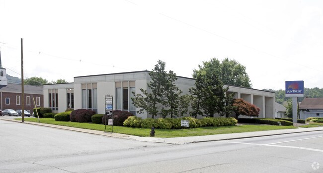
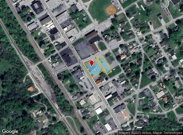
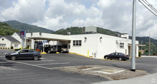
Property Record
S Main St, Rocky Top, TN 37769
NEARBY LISTINGS FOR SALE OR LEASE
-
-
View all Rocky Top listings for sale on LoopNet.com
Property Detail
S Main St
Knoxville, TN
Hornsby Addition
018E-C-026.00
HORNSBY ADDITION PB: 2 PG: 135 BLK: 16 LOT: 3 4 161X143.5 IRR
Commercialnec
Anderson
X
Tennessee
47001C0109G
3
2024
0.76 AC
2025
Anderson County
020800
Knoxville
8,618 SF
DEMOGRAPHICS near S Main St
1 Mile
3 Mile
5 Mile
2024 Total Population
1,996
6,317
11,631
2029 Population
2,092
6,593
12,127
Pop Growth 2024-2029
+ 4.81%
+ 4.37%
+ 4.26%
Average Age
40
42
43
2024 Total Households
840
2,614
4,800
HH Growth 2024-2029
+ 4.88%
+ 4.40%
+ 4.27%
Median Household Inc
$33,678
$52,397
$55,210
Avg Household Size
2.30
2.40
2.40
2024 Avg HH Vehicles
2.00
2.00
2.00
Median Home Value
$148,648
$189,779
$203,613
Median Year Built
1973
1980
1982
Nearby Places
- Restaurants
- Banks
- Shops
- Fitness
- Groceries
PUBLIC TRANSPORTATION
AIRPORT
McGhee Tyson
DRIVE
WALK
Distance
McGhee Tyson
59 min
41.3 mi
Freight Ports
North Charleston Terminal
DRIVE
WALK
Distance
North Charleston Terminal
448 min
387.2 mi
SALE & LEASE HISTORY
LISTING DATE
SALE/LEASE

Apr 30, 2018
For Sale
Nearby Properties
Address
Land Use
TOTAL SIZE
Lot Size
Zoning
Address
Land Use
TOTAL SIZE
Lot Size
Zoning
82,336 SF
7.20 AC
Address
Land Use
TOTAL SIZE
Lot Size
Zoning
63,879 SF
23.20 AC
Address
Land Use
TOTAL SIZE
Lot Size
Zoning
39,426 SF
2.93 AC
Address
Land Use
TOTAL SIZE
Lot Size
Zoning
62,476 SF
15.85 AC
Address
Land Use
TOTAL SIZE
Lot Size
Zoning
11,680 SF
2.06 AC
Address
Land Use
TOTAL SIZE
Lot Size
Zoning
33,819 SF
7.22 AC
Address
Land Use
TOTAL SIZE
Lot Size
Zoning
Address
Land Use
TOTAL SIZE
Lot Size
Zoning
20,720 SF
2.20 AC
Address
Land Use
TOTAL SIZE
Lot Size
Zoning
5,184 SF
2.45 AC
Address
Land Use
TOTAL SIZE
Lot Size
Zoning
11,464 SF
3 AC
Address
Land Use
TOTAL SIZE
Lot Size
Zoning
9,660 SF
3.33 AC
Address
Land Use
TOTAL SIZE
Lot Size
Zoning
15,230 SF
0.55 AC
Address
Land Use
TOTAL SIZE
Lot Size
Zoning
21,620 SF
1.87 AC
Address
Land Use
TOTAL SIZE
Lot Size
Zoning
4,502 SF
6.10 AC
Address
Land Use
TOTAL SIZE
Lot Size
Zoning
4,386 SF
1.30 AC
Address
Land Use
TOTAL SIZE
Lot Size
Zoning
4,326 SF
1.90 AC
Address
Land Use
TOTAL SIZE
Lot Size
Zoning
4,608 SF
0.98 AC
Address
Land Use
TOTAL SIZE
Lot Size
Zoning
5,182 SF
1.53 AC
Address
Land Use
TOTAL SIZE
Lot Size
Zoning
3,726 SF
0.71 AC
Address
Land Use
TOTAL SIZE
Lot Size
Zoning
13,276 SF
0.92 AC
Address
Land Use
TOTAL SIZE
Lot Size
Zoning
9,020 SF
0.93 AC
Address
Land Use
TOTAL SIZE
Lot Size
Zoning
Address
Land Use
TOTAL SIZE
Lot Size
Zoning
6,867 SF
4.22 AC
Address
Land Use
TOTAL SIZE
Lot Size
Zoning
2,237 SF
4 AC
Address
Land Use
TOTAL SIZE
Lot Size
Zoning
4,576 SF
0.63 AC
Address
Land Use
TOTAL SIZE
Lot Size
Zoning
3,668 SF
0.85 AC
Address
Land Use
TOTAL SIZE
Lot Size
Zoning
9,000 SF
0.33 AC
Address
Land Use
TOTAL SIZE
Lot Size
Zoning
2,700 SF
0.70 AC
Address
Land Use
TOTAL SIZE
Lot Size
Zoning
14,690 SF
4.58 AC
The World's #1 Commercial Real Estate Marketplace
Connect with us
© 2025 CoStar Group
The information above has been obtained from sources believed reliable. While we do not doubt its accuracy we have not verified it and make no guarantee, warranty or representation about it. It is your responsibility to independently confirm its accuracy and completeness. Any projections, opinions, assumptions, or estimates used are for example only and do not represent the current or future performance of the property. The value of this transaction to you depends on tax and other factors which should be evaluated by your tax, financial, and legal advisors. You and your advisors should conduct a careful, independent investigation of the property to determine to your satisfaction the suitability of the property for your needs.