Property Record
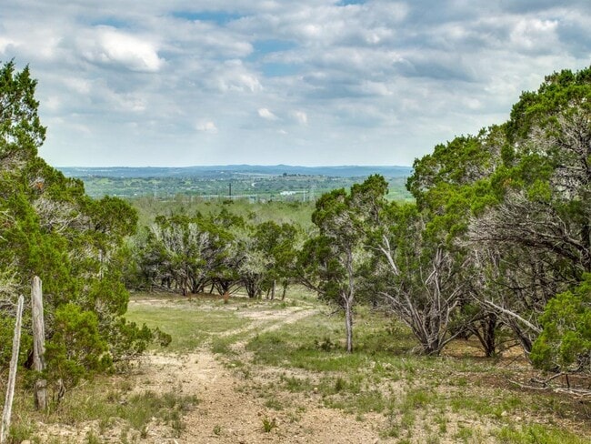
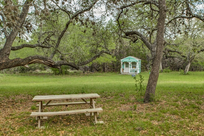
S Paleface Ranch Rd, Spicewood, TX 78669
Property Detail
S Paleface Ranch Rd
356865
ABS 401 SUR 102 HUNT M ACR 18.380 (1-D-1)
Farms
TRAVIS
B and X Area of moderate flood hazard, usually the area between the limits of the 100-year and 500-year floods.
Texas
2025
31.30 AC
2025
Southwest
035300
Austin
1,290 SF
Austin-Round Rock-San Marcos, TX
NEARBY LISTINGS FOR SALE OR LEASE
DEMOGRAPHICS near S Paleface Ranch Rd
1 mile
3 mile
5 mile
2025 Total Population
132
2,760
9,495
2030 Population
143
3,035
10,362
Pop Growth 2025-2030
+ 8.33%
+ 9.96%
+ 9.13%
Average Age
53
50
48
2025 Total Households
57
1,173
3,873
HH Growth 2025-2030
+ 10.53%
+ 10.57%
+ 9.84%
Median Household Inc
$137,500
$119,341
$120,570
Avg Household Size
2.20
2.30
2.40
2025 Avg HH Vehicles
2.00
2.00
2.00
Median Home Value
$1,021,429
$910,094
$684,299
Median Year Built
2001
2002
2005
Nearby Places
Map Layers
Map Styles
 Street
 Aerial
Transit
 Traffic
 Biking
Places
Listings with unknown addresses are not visible on the map
- Restaurants
- Banks
- Shops
- Fitness
- Groceries
Nearby Properties
Address
Land Use
TOTAL SIZE
Lot Size
Zoning
Address
Land Use
TOTAL SIZE
Lot Size
Zoning
574.73 AC
Address
Land Use
TOTAL SIZE
Lot Size
Zoning
170.94 AC
Address
Land Use
TOTAL SIZE
Lot Size
Zoning
21,068 SF
55.65 AC
Address
Land Use
TOTAL SIZE
Lot Size
Zoning
20,298 SF
202.04 AC
Address
Land Use
TOTAL SIZE
Lot Size
Zoning
205.55 AC
Address
Land Use
TOTAL SIZE
Lot Size
Zoning
18,744 SF
1 AC
Address
Land Use
TOTAL SIZE
Lot Size
Zoning
26,275 SF
119.74 AC
Address
Land Use
TOTAL SIZE
Lot Size
Zoning
34,339 SF
459.50 AC
Address
Land Use
TOTAL SIZE
Lot Size
Zoning
61.57 AC
Address
Land Use
TOTAL SIZE
Lot Size
Zoning
11,940 SF
177.24 AC
Address
Land Use
TOTAL SIZE
Lot Size
Zoning
2,352 SF
85.71 AC
Address
Land Use
TOTAL SIZE
Lot Size
Zoning
75,000 SF
11.88 AC
Address
Land Use
TOTAL SIZE
Lot Size
Zoning
5,468 SF
43.03 AC
Address
Land Use
TOTAL SIZE
Lot Size
Zoning
8,047 SF
12.80 AC
Address
Land Use
TOTAL SIZE
Lot Size
Zoning
2,175 SF
47.40 AC
Address
Land Use
TOTAL SIZE
Lot Size
Zoning
17,090 SF
110.36 AC
Address
Land Use
TOTAL SIZE
Lot Size
Zoning
25,904 SF
14.89 AC
Address
Land Use
TOTAL SIZE
Lot Size
Zoning
6,809 SF
22.46 AC
Address
Land Use
TOTAL SIZE
Lot Size
Zoning
1,350 SF
47.98 AC
Address
Land Use
TOTAL SIZE
Lot Size
Zoning
8,132 SF
12.16 AC
Address
Land Use
TOTAL SIZE
Lot Size
Zoning
9,115 SF
108.79 AC
Address
Land Use
TOTAL SIZE
Lot Size
Zoning
6,805 SF
142.64 AC
Address
Land Use
TOTAL SIZE
Lot Size
Zoning
11,527 SF
7.93 AC
Address
Land Use
TOTAL SIZE
Lot Size
Zoning
26.79 AC
Address
Land Use
TOTAL SIZE
Lot Size
Zoning
8,319 SF
6.36 AC
Address
Land Use
TOTAL SIZE
Lot Size
Zoning
7,112 SF
1 AC
Address
Land Use
TOTAL SIZE
Lot Size
Zoning
23.78 AC
Address
Land Use
TOTAL SIZE
Lot Size
Zoning
400 SF
46.23 AC
Address
Land Use
TOTAL SIZE
Lot Size
Zoning
980 SF
32.42 AC
Address
Land Use
TOTAL SIZE
Lot Size
Zoning
7,090 SF
0.83 AC
The World's #1 Commercial Real Estate Marketplace
Connect with us
© 2026 CoStar Group
The information above has been obtained from sources believed reliable. While we do not doubt its accuracy we have not verified it and make no guarantee, warranty or representation about it. It is your responsibility to independently confirm its accuracy and completeness. Any projections, opinions, assumptions, or estimates used are for example only and do not represent the current or future performance of the property. The value of this transaction to you depends on tax and other factors which should be evaluated by your tax, financial, and legal advisors. You and your advisors should conduct a careful, independent investigation of the property to determine to your satisfaction the suitability of the property for your needs.