Property Record
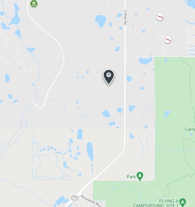
Manasota Beach Rd, Venice, FL 34293

Property Detail
Manasota Beach Rd
North Port-Bradenton-Sarasota, FL
W 1/2 OF SEC 10-40-20, LESS LANDS CONVEYED TO SARASOTA COUNTY AS DESC IN ORI 2008060371 & 2008060374, ALSO LESS LANDS TO SCHOOL BOARD OF SARASOTA COUNTY AS DESC IN ORI 2021094420, LESS
0811-00-5000
SARASOTA
Miscellaneous
Florida
V
1
AE The base floodplain where base flood elevations are provided. AE Zones are now used on new format FIRMs instead of A1-A30 Zones.
2.76 AC
2024
Sarasota Outlying
2025
Tampa/St Petersburg
002510
NEARBY LISTINGS FOR SALE OR LEASE
DEMOGRAPHICS near Manasota Beach Rd
1 mile
3 mile
5 mile
2025 Total Population
994
12,903
49,128
2030 Population
1,098
14,218
53,455
Pop Growth 2025-2030
+ 10.46%
+ 10.19%
+ 8.81%
Average Age
64
66
58
2025 Total Households
463
6,731
24,006
HH Growth 2025-2030
+ 10.58%
+ 10.10%
+ 8.81%
Median Household Inc
$87,364
$77,900
$75,505
Avg Household Size
2.00
1.90
2.00
2025 Avg HH Vehicles
1.00
1.00
2.00
Median Home Value
$527,381
$421,826
$418,988
Median Year Built
2011
2010
2001
Nearby Places
Map Layers
Map Styles
 Street
 Aerial
Transit
 Traffic
 Biking
Places
Listings with unknown addresses are not visible on the map
- Restaurants
- Banks
- Shops
- Fitness
- Groceries
PUBLIC TRANSPORTATION
AIRPORT
Punta Gorda
Drive
Walk
Distance
Punta Gorda
42 min
24.3 mi
Freight Ports
Port Manatee
Drive
Walk
Distance
Port Manatee
65 min
50.5 mi
Nearby Properties
Address
Land Use
TOTAL SIZE
Lot Size
Zoning
Address
Land Use
TOTAL SIZE
Lot Size
Zoning
246,789 SF
80.41 AC
V
Address
Land Use
TOTAL SIZE
Lot Size
Zoning
357,609 SF
13.52 AC
V
Address
Land Use
TOTAL SIZE
Lot Size
Zoning
318,959 SF
7.24 AC
V
Address
Land Use
TOTAL SIZE
Lot Size
Zoning
285,151 SF
26.73 AC
V
Address
Land Use
TOTAL SIZE
Lot Size
Zoning
252,890 SF
9.15 AC
V
Address
Land Use
TOTAL SIZE
Lot Size
Zoning
125,619 SF
99.87 AC
GU
Address
Land Use
TOTAL SIZE
Lot Size
Zoning
219.10 AC
V
Address
Land Use
TOTAL SIZE
Lot Size
Zoning
155,979 SF
17.34 AC
V
Address
Land Use
TOTAL SIZE
Lot Size
Zoning
86,448 SF
11.15 AC
V
Address
Land Use
TOTAL SIZE
Lot Size
Zoning
438.77 AC
SAPD
Address
Land Use
TOTAL SIZE
Lot Size
Zoning
155,080 SF
8.96 AC
CG
Address
Land Use
TOTAL SIZE
Lot Size
Zoning
379.36 AC
OUE1
Address
Land Use
TOTAL SIZE
Lot Size
Zoning
152.70 AC
AC8
Address
Land Use
TOTAL SIZE
Lot Size
Zoning
40,001 SF
7.67 AC
V
Address
Land Use
TOTAL SIZE
Lot Size
Zoning
23,573 SF
69.06 AC
V
Address
Land Use
TOTAL SIZE
Lot Size
Zoning
106.85 AC
V
Address
Land Use
TOTAL SIZE
Lot Size
Zoning
51,671 SF
3.51 AC
V
Address
Land Use
TOTAL SIZE
Lot Size
Zoning
124.69 AC
V
Address
Land Use
TOTAL SIZE
Lot Size
Zoning
216.15 AC
OUE1
Address
Land Use
TOTAL SIZE
Lot Size
Zoning
29.77 AC
V
Address
Land Use
TOTAL SIZE
Lot Size
Zoning
59.62 AC
V
Address
Land Use
TOTAL SIZE
Lot Size
Zoning
94.16 AC
V
Address
Land Use
TOTAL SIZE
Lot Size
Zoning
32,819 SF
4.53 AC
V
Address
Land Use
TOTAL SIZE
Lot Size
Zoning
54.08 AC
V
Address
Land Use
TOTAL SIZE
Lot Size
Zoning
32,230 SF
3.35 AC
V
Address
Land Use
TOTAL SIZE
Lot Size
Zoning
20,363 SF
5.57 AC
V
Address
Land Use
TOTAL SIZE
Lot Size
Zoning
81.06 AC
V
Address
Land Use
TOTAL SIZE
Lot Size
Zoning
20.36 AC
V
Address
Land Use
TOTAL SIZE
Lot Size
Zoning
49.42 AC
V
Address
Land Use
TOTAL SIZE
Lot Size
Zoning
7,690 SF
20.86 AC
V
The World's #1 Commercial Real Estate Marketplace
Connect with us
© 2026 CoStar Group
The information above has been obtained from sources believed reliable. While we do not doubt its accuracy we have not verified it and make no guarantee, warranty or representation about it. It is your responsibility to independently confirm its accuracy and completeness. Any projections, opinions, assumptions, or estimates used are for example only and do not represent the current or future performance of the property. The value of this transaction to you depends on tax and other factors which should be evaluated by your tax, financial, and legal advisors. You and your advisors should conduct a careful, independent investigation of the property to determine to your satisfaction the suitability of the property for your needs.