Property Record
S1 T17n, In, NV
Property Detail
S1 T17n
004-291-02
PARCEL MAP ID : LOT : BLOCK : TOWN : OUTSIDE
Vacantlandnec
STOREY
F;FORESTED
Nevada
B and X Area of moderate flood hazard, usually the area between the limits of the 100-year and 500-year floods.
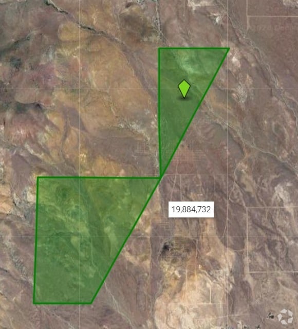
520.80 AC
2024
Storey County
2025
Reno/Sparks
970200
Reno, NV
NEARBY LISTINGS FOR SALE OR LEASE
-
-
View all In listings for sale on LoopNet.com
DEMOGRAPHICS near S1 T17n
1 mile
3 mile
5 mile
2025 Total Population
0
350
3,127
2030 Population
0
363
3,306
Pop Growth 2025-2030
0.00%
+ 3.71%
+ 5.72%
Average Age
0
52
47
2025 Total Households
0
151
1,264
HH Growth 2025-2030
0.00%
+ 3.31%
+ 5.70%
Median Household Inc
$0
$89,285
$72,115
Avg Household Size
.00
2.30
2.40
2025 Avg HH Vehicles
.00
2.00
2.00
Median Home Value
$0
$425,471
$348,636
Median Year Built
0
2001
1997
Nearby Places
Map Layers
Map Styles
 Street
 Aerial
Transit
 Traffic
 Biking
Places
Listings with unknown addresses are not visible on the map
- Restaurants
- Banks
- Shops
- Fitness
- Groceries
PUBLIC TRANSPORTATION
AIRPORT
Reno/Tahoe International
Drive
Walk
Distance
Reno/Tahoe International
85 min
39.7 mi
Freight Ports
Port of Stockton
Drive
Walk
Distance
Port of Stockton
258 min
175.7 mi
SALE & LEASE HISTORY
LISTING DATE
SALE/LEASE

Jul 01, 2024
For Sale
Nearby Properties
Address
Land Use
TOTAL SIZE
Lot Size
Zoning
Address
Land Use
TOTAL SIZE
Lot Size
Zoning
67.34 AC
MULT
Address
Land Use
TOTAL SIZE
Lot Size
Zoning
630 AC
E
Address
Land Use
TOTAL SIZE
Lot Size
Zoning
560 AC
F;FORESTED
Address
Land Use
TOTAL SIZE
Lot Size
Zoning
380 AC
F;FORESTED
Address
Land Use
TOTAL SIZE
Lot Size
Zoning
8.17 AC
MULT
Address
Land Use
TOTAL SIZE
Lot Size
Zoning
159.25 AC
F;FORESTED
Address
Land Use
TOTAL SIZE
Lot Size
Zoning
30.50 AC
RR5
Address
Land Use
TOTAL SIZE
Lot Size
Zoning
34.73 AC
VCMU
Address
Land Use
TOTAL SIZE
Lot Size
Zoning
9.80 AC
C2
Address
Land Use
TOTAL SIZE
Lot Size
Zoning
19.96 AC
RR5
Address
Land Use
TOTAL SIZE
Lot Size
Zoning
20 AC
RR5
Address
Land Use
TOTAL SIZE
Lot Size
Zoning
20.03 AC
RR5
Address
Land Use
TOTAL SIZE
Lot Size
Zoning
4.23 AC
RR3
Address
Land Use
TOTAL SIZE
Lot Size
Zoning
4.99 AC
RR3
Address
Land Use
TOTAL SIZE
Lot Size
Zoning
5.11 AC
RR3
Address
Land Use
TOTAL SIZE
Lot Size
Zoning
5.03 AC
RR3
Address
Land Use
TOTAL SIZE
Lot Size
Zoning
5.01 AC
RR3
Address
Land Use
TOTAL SIZE
Lot Size
Zoning
4.10 AC
RR3
Address
Land Use
TOTAL SIZE
Lot Size
Zoning
Address
Land Use
TOTAL SIZE
Lot Size
Zoning
5 AC
RR3
Address
Land Use
TOTAL SIZE
Lot Size
Zoning
5.02 AC
RR3
Address
Land Use
TOTAL SIZE
Lot Size
Zoning
5.03 AC
RR3
Address
Land Use
TOTAL SIZE
Lot Size
Zoning
Address
Land Use
TOTAL SIZE
Lot Size
Zoning
3.99 AC
RR3
Address
Land Use
TOTAL SIZE
Lot Size
Zoning
4.03 AC
RR3
Address
Land Use
TOTAL SIZE
Lot Size
Zoning
5.06 AC
RR3
Address
Land Use
TOTAL SIZE
Lot Size
Zoning
5.02 AC
RR3
Address
Land Use
TOTAL SIZE
Lot Size
Zoning
5.06 AC
RR3
Address
Land Use
TOTAL SIZE
Lot Size
Zoning
5.03 AC
RR3
The World's #1 Commercial Real Estate Marketplace
Connect with us
© 2026 CoStar Group
The information above has been obtained from sources believed reliable. While we do not doubt its accuracy we have not verified it and make no guarantee, warranty or representation about it. It is your responsibility to independently confirm its accuracy and completeness. Any projections, opinions, assumptions, or estimates used are for example only and do not represent the current or future performance of the property. The value of this transaction to you depends on tax and other factors which should be evaluated by your tax, financial, and legal advisors. You and your advisors should conduct a careful, independent investigation of the property to determine to your satisfaction the suitability of the property for your needs.