Property Record
Sam Horton Rd, Louisburg, NC 27549

NEARBY LISTINGS FOR SALE OR LEASE
Property Detail
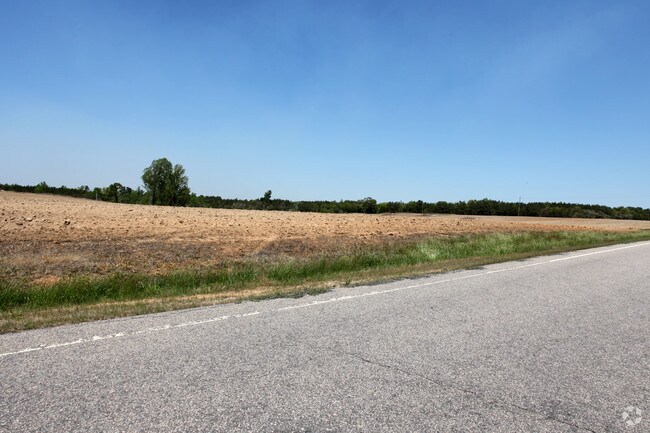
Sam Horton Rd
Raleigh, NC
Freeman Tr
036036
POF/VELL FREEMAN SEE G8/48 FOR DEFERREDS
Vacantlandnec
Franklin
X
North Carolina
3720188200J
d
2025
55.27 AC
2025
Franklin County
060301
Raleigh/Durham
DEMOGRAPHICS near Sam Horton Rd
1 Mile
3 Mile
5 Mile
2024 Total Population
442
5,064
14,320
2029 Population
536
6,164
17,471
Pop Growth 2024-2029
+ 21.27%
+ 21.72%
+ 22.00%
Average Age
40
40
40
2024 Total Households
168
1,898
5,385
HH Growth 2024-2029
+ 21.43%
+ 21.71%
+ 21.93%
Median Household Inc
$45,682
$51,667
$70,689
Avg Household Size
2.60
2.60
2.60
2024 Avg HH Vehicles
2.00
2.00
2.00
Median Home Value
$253,333
$224,189
$229,659
Median Year Built
1989
1993
1996
Nearby Places
Map Layers
Map Styles
 Street
 Aerial
- Restaurants
- Banks
- Shops
- Fitness
- Groceries
PUBLIC TRANSPORTATION
AIRPORT
Raleigh-Durham International
DRIVE
WALK
Distance
Raleigh-Durham International
49 min
34.0 mi
Freight Ports
Virginia Port Authority - Richmond
DRIVE
WALK
Distance
Virginia Port Authority - Richmond
163 min
133.1 mi
Nearby Properties
Address
Land Use
TOTAL SIZE
Lot Size
Zoning
Address
Land Use
TOTAL SIZE
Lot Size
Zoning
2,572 SF
293.51 AC
FCO GB
Address
Land Use
TOTAL SIZE
Lot Size
Zoning
9,440 SF
33.34 AC
FCO GB
Address
Land Use
TOTAL SIZE
Lot Size
Zoning
111,983 SF
18.03 AC
FCO GB
Address
Land Use
TOTAL SIZE
Lot Size
Zoning
42,534 SF
9.79 AC
FCO GB
Address
Land Use
TOTAL SIZE
Lot Size
Zoning
223.18 AC
FCO GB
Address
Land Use
TOTAL SIZE
Lot Size
Zoning
91.86 AC
FCO GB
Address
Land Use
TOTAL SIZE
Lot Size
Zoning
252 AC
FCO R-30
Address
Land Use
TOTAL SIZE
Lot Size
Zoning
17,126 SF
4.24 AC
FCO GB
Address
Land Use
TOTAL SIZE
Lot Size
Zoning
24,500 SF
10 AC
FCO GB
Address
Land Use
TOTAL SIZE
Lot Size
Zoning
132.25 AC
FCO R-30
Address
Land Use
TOTAL SIZE
Lot Size
Zoning
3,936 SF
2.55 AC
FCO R-30
Address
Land Use
TOTAL SIZE
Lot Size
Zoning
165.75 AC
FCO R-30
Address
Land Use
TOTAL SIZE
Lot Size
Zoning
306 SF
87.72 AC
FCO GB
Address
Land Use
TOTAL SIZE
Lot Size
Zoning
168 AC
FCO R-30
Address
Land Use
TOTAL SIZE
Lot Size
Zoning
109.72 AC
FCO R-30
Address
Land Use
TOTAL SIZE
Lot Size
Zoning
11,340 SF
3.12 AC
FCO R-30
Address
Land Use
TOTAL SIZE
Lot Size
Zoning
140 AC
FCO R-30
Address
Land Use
TOTAL SIZE
Lot Size
Zoning
53.24 AC
M U
Address
Land Use
TOTAL SIZE
Lot Size
Zoning
50.01 AC
FCO GB
Address
Land Use
TOTAL SIZE
Lot Size
Zoning
16.56 AC
FCO GB
Address
Land Use
TOTAL SIZE
Lot Size
Zoning
1,768 SF
120.19 AC
FCO R-30
Address
Land Use
TOTAL SIZE
Lot Size
Zoning
194 AC
FCO R-30
Address
Land Use
TOTAL SIZE
Lot Size
Zoning
63.50 AC
FCO GB
Address
Land Use
TOTAL SIZE
Lot Size
Zoning
124.61 AC
FCO R-30
Address
Land Use
TOTAL SIZE
Lot Size
Zoning
39.84 AC
FCO GB
Address
Land Use
TOTAL SIZE
Lot Size
Zoning
54.71 AC
FCO GB
Address
Land Use
TOTAL SIZE
Lot Size
Zoning
1,056 SF
187.93 AC
FCO R-30
Address
Land Use
TOTAL SIZE
Lot Size
Zoning
14,400 SF
L I
Address
Land Use
TOTAL SIZE
Lot Size
Zoning
1,174 SF
116 AC
FCO R-30
The World's #1 Commercial Real Estate Marketplace
Connect with us
© 2026 CoStar Group
The information above has been obtained from sources believed reliable. While we do not doubt its accuracy we have not verified it and make no guarantee, warranty or representation about it. It is your responsibility to independently confirm its accuracy and completeness. Any projections, opinions, assumptions, or estimates used are for example only and do not represent the current or future performance of the property. The value of this transaction to you depends on tax and other factors which should be evaluated by your tax, financial, and legal advisors. You and your advisors should conduct a careful, independent investigation of the property to determine to your satisfaction the suitability of the property for your needs.