Property Record
Sand Pit Rd, Reno, NV 89506
Property Detail
Sand Pit Rd
Reno, NV
DLM 79 LT 18
080-721-07
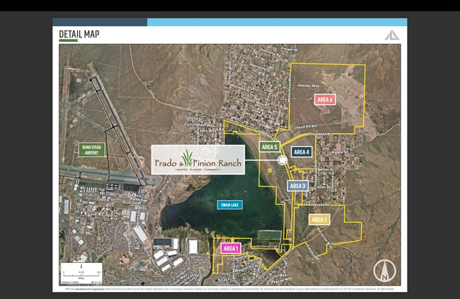
WASHOE
Miningfacilityoilgasmineralpreciousmetals
Nevada
MDS4
18
A Areas with a 1% annual chance of flooding and a 26% chance of flooding over the life of a 30-year mortgage.
55.20 AC
2025
North Valleys
2026
Reno/Sparks
002618
NEARBY LISTINGS FOR SALE OR LEASE
-
-
View all Reno listings for sale on LoopNet.com
DEMOGRAPHICS near Sand Pit Rd
1 mile
3 mile
5 mile
2024 Total Population
1,123
16,354
44,839
2029 Population
1,179
17,529
47,925
Pop Growth 2024-2029
+ 4.99%
+ 7.18%
+ 6.88%
Average Age
44
37
37
2024 Total Households
409
5,497
15,244
HH Growth 2024-2029
+ 4.89%
+ 7.08%
+ 6.94%
Median Household Inc
$79,770
$75,518
$77,284
Avg Household Size
2.70
2.90
2.90
2024 Avg HH Vehicles
3.00
2.00
2.00
Median Home Value
$371,138
$367,321
$381,111
Median Year Built
1978
1996
1998
Nearby Places
Map Layers
Map Styles
 Street
 Aerial
Transit
 Traffic
 Biking
Places
Listings with unknown addresses are not visible on the map
- Restaurants
- Banks
- Shops
- Fitness
- Groceries
PUBLIC TRANSPORTATION
AIRPORT
Reno/Tahoe International
Drive
Walk
Distance
Reno/Tahoe International
42 min
17.9 mi
Freight Ports
Port of Stockton
Drive
Walk
Distance
Port of Stockton
227 min
192.2 mi
SALE & LEASE HISTORY
LISTING DATE
SALE/LEASE

Nov 20, 2023
For Sale
Nearby Properties
Address
Land Use
TOTAL SIZE
Lot Size
Zoning
Address
Land Use
TOTAL SIZE
Lot Size
Zoning
530,693 SF
48.34 AC
IC
Address
Land Use
TOTAL SIZE
Lot Size
Zoning
230,550 SF
13.23 AC
I
Address
Land Use
TOTAL SIZE
Lot Size
Zoning
38,080 SF
2.64 AC
GC
Address
Land Use
TOTAL SIZE
Lot Size
Zoning
44,181 SF
8.76 AC
PSP
Address
Land Use
TOTAL SIZE
Lot Size
Zoning
61.06 AC
MA
Address
Land Use
TOTAL SIZE
Lot Size
Zoning
37.21 AC
PSP
Address
Land Use
TOTAL SIZE
Lot Size
Zoning
19,316 SF
3.92 AC
GC
Address
Land Use
TOTAL SIZE
Lot Size
Zoning
35.07 AC
SF8
Address
Land Use
TOTAL SIZE
Lot Size
Zoning
720 AC
OS 40% / G
Address
Land Use
TOTAL SIZE
Lot Size
Zoning
1 AC
GR
Address
Land Use
TOTAL SIZE
Lot Size
Zoning
19.93 AC
MDS 28% /
Address
Land Use
TOTAL SIZE
Lot Size
Zoning
116.86 AC
MDS4
Address
Land Use
TOTAL SIZE
Lot Size
Zoning
1,703.18 AC
OS
Address
Land Use
TOTAL SIZE
Lot Size
Zoning
14,592 SF
1.80 AC
GC
Address
Land Use
TOTAL SIZE
Lot Size
Zoning
480 AC
OS
Address
Land Use
TOTAL SIZE
Lot Size
Zoning
1.36 AC
OS 96% / G
Address
Land Use
TOTAL SIZE
Lot Size
Zoning
77.44 AC
PGOS 26% /
Address
Land Use
TOTAL SIZE
Lot Size
Zoning
5 AC
SF8
Address
Land Use
TOTAL SIZE
Lot Size
Zoning
1 AC
PSP
Address
Land Use
TOTAL SIZE
Lot Size
Zoning
1,053.88 AC
OS 29% / G
Address
Land Use
TOTAL SIZE
Lot Size
Zoning
5,623 SF
1 AC
MDS
Address
Land Use
TOTAL SIZE
Lot Size
Zoning
4,080 SF
11.08 AC
PSP 32% /
Address
Land Use
TOTAL SIZE
Lot Size
Zoning
102.65 AC
MDS4
Address
Land Use
TOTAL SIZE
Lot Size
Zoning
60.84 AC
SF3
Address
Land Use
TOTAL SIZE
Lot Size
Zoning
51.90 AC
SF3
Address
Land Use
TOTAL SIZE
Lot Size
Zoning
4,060 SF
1.04 AC
PSP
Address
Land Use
TOTAL SIZE
Lot Size
Zoning
48.59 AC
MDS4
Address
Land Use
TOTAL SIZE
Lot Size
Zoning
47.82 AC
MDS4
Address
Land Use
TOTAL SIZE
Lot Size
Zoning
45.07 AC
MDS4
The World's #1 Commercial Real Estate Marketplace
Connect with us
© 2026 CoStar Group
The information above has been obtained from sources believed reliable. While we do not doubt its accuracy we have not verified it and make no guarantee, warranty or representation about it. It is your responsibility to independently confirm its accuracy and completeness. Any projections, opinions, assumptions, or estimates used are for example only and do not represent the current or future performance of the property. The value of this transaction to you depends on tax and other factors which should be evaluated by your tax, financial, and legal advisors. You and your advisors should conduct a careful, independent investigation of the property to determine to your satisfaction the suitability of the property for your needs.