Property Record
Sandy Plains Rd, , GA


Save to a Folder
{{folder.Name}}
{{folder.ListingIds.length}} Properties
{{folder.ListingIds.length}} Property
Create a New Folder
Property Detail
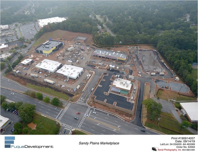
Sandy Plains Rd
16-0407-0-004-0
COBB
Restaurantbuilding
Georgia
CRC
386
B and X Area of moderate flood hazard, usually the area between the limits of the 100-year and 500-year floods.
1.53 AC
2025
Town Center/Marietta
2025
Atlanta
030312
Atlanta-Sandy Springs-Roswell, GA
6,283 SF
NEARBY LISTINGS FOR SALE OR LEASE
DEMOGRAPHICS near Sandy Plains Rd
1 mile
3 mile
5 mile
2025 Total Population
7,621
70,694
184,691
2030 Population
7,743
72,072
189,882
Pop Growth 2025-2030
+ 1.60%
+ 1.95%
+ 2.81%
Average Age
41
42
42
2025 Total Households
2,530
24,327
65,987
HH Growth 2025-2030
+ 1.62%
+ 1.96%
+ 2.87%
Median Household Inc
$155,937
$154,688
$134,000
Avg Household Size
3.00
2.90
2.70
2025 Avg HH Vehicles
2.00
2.00
2.00
Median Home Value
$588,575
$527,572
$499,558
Median Year Built
1985
1984
1986
Nearby Places
Map Layers
Map Styles
 Street
 Aerial
Layers
 Traffic
 Biking
Places
Listings with unknown addresses are not visible on the map
- Restaurants
- Banks
- Shops
- Fitness
- Groceries
PUBLIC TRANSPORTATION
AIRPORT
Hartsfield - Jackson Atlanta International
Drive
Walk
Distance
Hartsfield - Jackson Atlanta International
50 min
32.7 mi
Freight Ports
Georgia Ports - Savannah
Drive
Walk
Distance
Georgia Ports - Savannah
313 min
272.0 mi
Nearby Properties
Address
Land Use
TOTAL SIZE
Lot Size
Zoning
Address
Land Use
TOTAL SIZE
Lot Size
Zoning
118,464 SF
15.73 AC
CRC
Address
Land Use
TOTAL SIZE
Lot Size
Zoning
139,694 SF
16.35 AC
GC/WS
Address
Land Use
TOTAL SIZE
Lot Size
Zoning
113,274 SF
14.30 AC
NRC
Address
Land Use
TOTAL SIZE
Lot Size
Zoning
5 AC
PSC/NS
Address
Land Use
TOTAL SIZE
Lot Size
Zoning
126,855 SF
13.71 AC
NS
Address
Land Use
TOTAL SIZE
Lot Size
Zoning
96,575 SF
14.19 AC
CRC
Address
Land Use
TOTAL SIZE
Lot Size
Zoning
9,840 SF
9.76 AC
CRC
Address
Land Use
TOTAL SIZE
Lot Size
Zoning
41,268 SF
13.78 AC
Address
Land Use
TOTAL SIZE
Lot Size
Zoning
138,200 SF
17.70 AC
CRC/WS
Address
Land Use
TOTAL SIZE
Lot Size
Zoning
90,942 SF
1.33 AC
NRC/WS
Address
Land Use
TOTAL SIZE
Lot Size
Zoning
121,844 SF
17.61 AC
CRC/WS
Address
Land Use
TOTAL SIZE
Lot Size
Zoning
105,216 SF
10.42 AC
GC
Address
Land Use
TOTAL SIZE
Lot Size
Zoning
109,792 SF
2.56 AC
CRC
Address
Land Use
TOTAL SIZE
Lot Size
Zoning
33,410 SF
4.54 AC
GC/WS
Address
Land Use
TOTAL SIZE
Lot Size
Zoning
2.78 AC
OI
Address
Land Use
TOTAL SIZE
Lot Size
Zoning
33.26 AC
R20
Address
Land Use
TOTAL SIZE
Lot Size
Zoning
41,749 SF
3.61 AC
LRC
Address
Land Use
TOTAL SIZE
Lot Size
Zoning
90,812 SF
3.10 AC
NRC
Address
Land Use
TOTAL SIZE
Lot Size
Zoning
41.28 AC
R20
Address
Land Use
TOTAL SIZE
Lot Size
Zoning
65,870 SF
6.24 AC
CRC
Address
Land Use
TOTAL SIZE
Lot Size
Zoning
66,166 SF
6.37 AC
Address
Land Use
TOTAL SIZE
Lot Size
Zoning
81,271 SF
5.06 AC
NRC/WS
Address
Land Use
TOTAL SIZE
Lot Size
Zoning
1,515 SF
13.89 AC
Address
Land Use
TOTAL SIZE
Lot Size
Zoning
190,648 SF
5.10 AC
GC/WS
Address
Land Use
TOTAL SIZE
Lot Size
Zoning
63,620 SF
9.70 AC
PSC/NS
Address
Land Use
TOTAL SIZE
Lot Size
Zoning
21,415 SF
2.46 AC
NS/GC
Address
Land Use
TOTAL SIZE
Lot Size
Zoning
20,216 SF
1.13 AC
NRC/RA5
Address
Land Use
TOTAL SIZE
Lot Size
Zoning
7,188 SF
2.14 AC
NS/OI
Address
Land Use
TOTAL SIZE
Lot Size
Zoning
14,465 SF
1.69 AC
GC
Address
Land Use
TOTAL SIZE
Lot Size
Zoning
18,272 SF
1.83 AC
GC
The World's #1 Commercial Real Estate Marketplace
Connect with us
© 2026 CoStar Group
The information above has been obtained from sources believed reliable. While we do not doubt its accuracy we have not verified it and make no guarantee, warranty or representation about it. It is your responsibility to independently confirm its accuracy and completeness. Any projections, opinions, assumptions, or estimates used are for example only and do not represent the current or future performance of the property. The value of this transaction to you depends on tax and other factors which should be evaluated by your tax, financial, and legal advisors. You and your advisors should conduct a careful, independent investigation of the property to determine to your satisfaction the suitability of the property for your needs.