Property Record
Saratoga Spgs, Saratoga Springs, UT

NEARBY LISTINGS FOR SALE OR LEASE
-
-
View all Saratoga Springs listings for sale on LoopNet.com
Property Detail
Saratoga Spgs
Salt Lake City
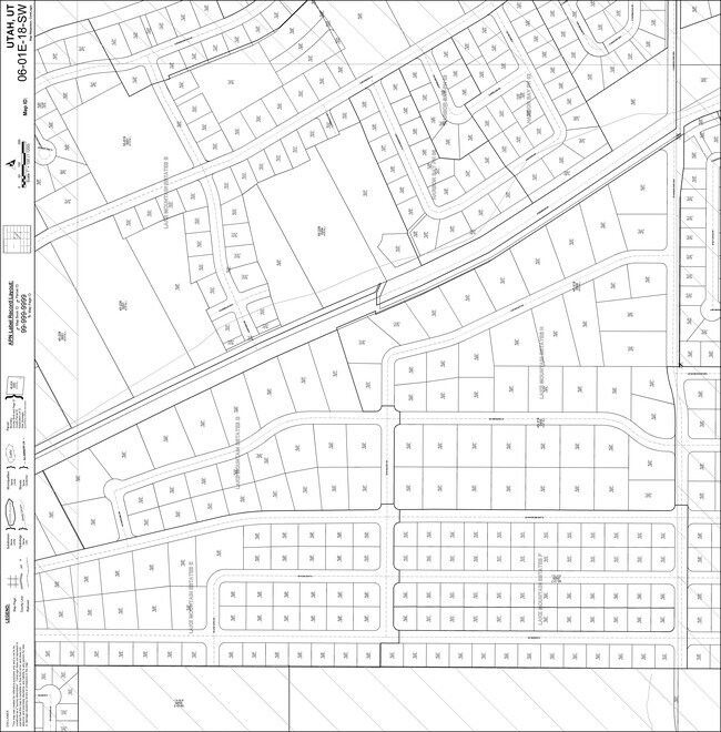
Lake Mountain Estates Sub
Provo-Orem, UT
PART LOT 42, PLAT B, LAKE MOUNTAIN ESTATES SUB DESCRIBED AS FOLLOWS:; COM N 277.11 FT & W 355.62 FT & N 47 DEG 46 36 W 29.77 FT FR S 1/4 COR. SEC. 18, T6S, R1E, SLB&M.; N 62 DEG 2 24 E 244.71 FT ACTUAL COURSE = N62-02-23E 244.71; S 33 DEG 32 19 E 225
45-228-0066
Utah
Vacantlandnec
Utah
2024
42
2025
2 AC
010132
Utah County
DEMOGRAPHICS near Saratoga Spgs
1 Mile
3 Mile
5 Mile
2024 Total Population
4,326
13,756
25,016
2029 Population
5,118
16,238
29,526
Pop Growth 2024-2029
+ 18.31%
+ 18.04%
+ 18.03%
Average Age
30
29
29
2024 Total Households
1,032
3,293
6,043
HH Growth 2024-2029
+ 18.70%
+ 18.49%
+ 18.48%
Median Household Inc
$116,611
$121,913
$115,944
Avg Household Size
4.10
4.20
4.10
2024 Avg HH Vehicles
3.00
2.00
2.00
Median Home Value
$486,094
$519,218
$491,516
Median Year Built
2008
2010
2010
Nearby Places
Map Layers
Map Styles
 Street
 Aerial
- Restaurants
- Banks
- Shops
- Fitness
- Groceries
PUBLIC TRANSPORTATION
AIRPORT
Provo Municipal
DRIVE
WALK
Distance
Provo Municipal
39 min
27.4 mi
Salt Lake City International
DRIVE
WALK
Distance
Salt Lake City International
54 min
41.7 mi
Nearby Properties
Address
Land Use
TOTAL SIZE
Lot Size
Zoning
Address
Land Use
TOTAL SIZE
Lot Size
Zoning
27,689 SF
731.20 AC
Address
Land Use
TOTAL SIZE
Lot Size
Zoning
Address
Land Use
TOTAL SIZE
Lot Size
Zoning
5,661 SF
2.90 AC
Address
Land Use
TOTAL SIZE
Lot Size
Zoning
8,499 SF
1.04 AC
Address
Land Use
TOTAL SIZE
Lot Size
Zoning
3,454 SF
9.72 AC
Address
Land Use
TOTAL SIZE
Lot Size
Zoning
Address
Land Use
TOTAL SIZE
Lot Size
Zoning
55.67 AC
Address
Land Use
TOTAL SIZE
Lot Size
Zoning
Address
Land Use
TOTAL SIZE
Lot Size
Zoning
Address
Land Use
TOTAL SIZE
Lot Size
Zoning
0.86 AC
RA5
Address
Land Use
TOTAL SIZE
Lot Size
Zoning
0.85 AC
RA5
Address
Land Use
TOTAL SIZE
Lot Size
Zoning
Address
Land Use
TOTAL SIZE
Lot Size
Zoning
0.80 AC
RA5
Address
Land Use
TOTAL SIZE
Lot Size
Zoning
0.78 AC
RA5
Address
Land Use
TOTAL SIZE
Lot Size
Zoning
Address
Land Use
TOTAL SIZE
Lot Size
Zoning
Address
Land Use
TOTAL SIZE
Lot Size
Zoning
Address
Land Use
TOTAL SIZE
Lot Size
Zoning
Address
Land Use
TOTAL SIZE
Lot Size
Zoning
Address
Land Use
TOTAL SIZE
Lot Size
Zoning
1,828 SF
0.27 AC
Address
Land Use
TOTAL SIZE
Lot Size
Zoning
Address
Land Use
TOTAL SIZE
Lot Size
Zoning
Address
Land Use
TOTAL SIZE
Lot Size
Zoning
Address
Land Use
TOTAL SIZE
Lot Size
Zoning
Address
Land Use
TOTAL SIZE
Lot Size
Zoning
Address
Land Use
TOTAL SIZE
Lot Size
Zoning
Address
Land Use
TOTAL SIZE
Lot Size
Zoning
The World's #1 Commercial Real Estate Marketplace
Connect with us
© 2026 CoStar Group
The information above has been obtained from sources believed reliable. While we do not doubt its accuracy we have not verified it and make no guarantee, warranty or representation about it. It is your responsibility to independently confirm its accuracy and completeness. Any projections, opinions, assumptions, or estimates used are for example only and do not represent the current or future performance of the property. The value of this transaction to you depends on tax and other factors which should be evaluated by your tax, financial, and legal advisors. You and your advisors should conduct a careful, independent investigation of the property to determine to your satisfaction the suitability of the property for your needs.