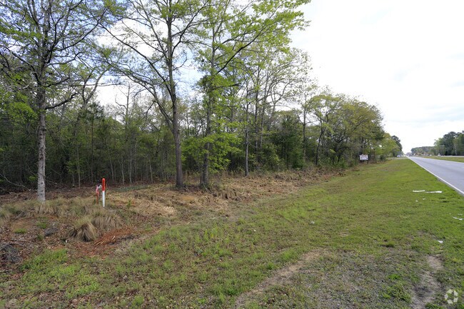
Property Record
Savannah Hwy, Ravenel, SC 29470


NEARBY LISTINGS FOR SALE OR LEASE
Property Detail
Savannah Hwy
Charleston-North Charleston, SC
C-9
186-00-00-127
MAPPLATB L18 MAPPLATP 0244 SUBDIVISIONNAME RAVENEL TRACT C-9A-2
Commercialacreage
Charleston
X
South Carolina
45019C0445K
6.75 AC
2025
W Charleston County
2024
Charleston/N Charleston
005800
DEMOGRAPHICS near Savannah Hwy
1 Mile
3 Mile
5 Mile
2024 Total Population
306
2,569
7,034
2029 Population
324
2,720
7,521
Pop Growth 2024-2029
+ 5.88%
+ 5.88%
+ 6.92%
Average Age
43
43
44
2024 Total Households
114
978
2,736
HH Growth 2024-2029
+ 6.14%
+ 5.73%
+ 6.80%
Median Household Inc
$61,111
$61,418
$60,521
Avg Household Size
2.50
2.50
2.50
2024 Avg HH Vehicles
2.00
2.00
2.00
Median Home Value
$256,896
$256,981
$287,119
Median Year Built
1988
1987
1990
Nearby Places
Map Layers
Map Styles
 Street
 Aerial
- Restaurants
- Banks
- Shops
- Fitness
- Groceries
PUBLIC TRANSPORTATION
AIRPORT
Charleston AFB/International
DRIVE
WALK
Distance
Charleston AFB/International
37 min
23.7 mi
Freight Ports
North Charleston Terminal
DRIVE
WALK
Distance
North Charleston Terminal
35 min
23.1 mi
SALE & LEASE HISTORY
LISTING DATE
SALE/LEASE

Sep 24, 2016
For Sale
Apr 06, 2017
For Sale
Nearby Properties
Address
Land Use
TOTAL SIZE
Lot Size
Zoning
Address
Land Use
TOTAL SIZE
Lot Size
Zoning
35.77 AC
EE
Address
Land Use
TOTAL SIZE
Lot Size
Zoning
362.58 AC
Address
Land Use
TOTAL SIZE
Lot Size
Zoning
10.08 AC
EE
Address
Land Use
TOTAL SIZE
Lot Size
Zoning
58.85 AC
Address
Land Use
TOTAL SIZE
Lot Size
Zoning
Address
Land Use
TOTAL SIZE
Lot Size
Zoning
33,428 SF
6.87 AC
Address
Land Use
TOTAL SIZE
Lot Size
Zoning
Address
Land Use
TOTAL SIZE
Lot Size
Zoning
5,972 SF
1.90 AC
Address
Land Use
TOTAL SIZE
Lot Size
Zoning
7,099 SF
9.89 AC
Address
Land Use
TOTAL SIZE
Lot Size
Zoning
23.02 AC
Address
Land Use
TOTAL SIZE
Lot Size
Zoning
5,400 SF
4.30 AC
Address
Land Use
TOTAL SIZE
Lot Size
Zoning
Address
Land Use
TOTAL SIZE
Lot Size
Zoning
2,482 SF
2.13 AC
Address
Land Use
TOTAL SIZE
Lot Size
Zoning
1,008 SF
4.95 AC
Address
Land Use
TOTAL SIZE
Lot Size
Zoning
2,553 SF
2.44 AC
Address
Land Use
TOTAL SIZE
Lot Size
Zoning
101 AC
Address
Land Use
TOTAL SIZE
Lot Size
Zoning
4.73 AC
Address
Land Use
TOTAL SIZE
Lot Size
Zoning
8,424 SF
0.99 AC
Address
Land Use
TOTAL SIZE
Lot Size
Zoning
1,571 SF
2.55 AC
Address
Land Use
TOTAL SIZE
Lot Size
Zoning
Address
Land Use
TOTAL SIZE
Lot Size
Zoning
12.50 AC
Address
Land Use
TOTAL SIZE
Lot Size
Zoning
3,673 SF
3.50 AC
Address
Land Use
TOTAL SIZE
Lot Size
Zoning
9,012 SF
1.03 AC
Address
Land Use
TOTAL SIZE
Lot Size
Zoning
576 SF
2 AC
Address
Land Use
TOTAL SIZE
Lot Size
Zoning
6,700 SF
1 AC
Address
Land Use
TOTAL SIZE
Lot Size
Zoning
1,200 SF
1.03 AC
Address
Land Use
TOTAL SIZE
Lot Size
Zoning
Address
Land Use
TOTAL SIZE
Lot Size
Zoning
2,478 SF
5.66 AC
Address
Land Use
TOTAL SIZE
Lot Size
Zoning
1,375 SF
7.54 AC
Address
Land Use
TOTAL SIZE
Lot Size
Zoning
1,662 SF
4.09 AC
The World's #1 Commercial Real Estate Marketplace
Connect with us
© 2025 CoStar Group
The information above has been obtained from sources believed reliable. While we do not doubt its accuracy we have not verified it and make no guarantee, warranty or representation about it. It is your responsibility to independently confirm its accuracy and completeness. Any projections, opinions, assumptions, or estimates used are for example only and do not represent the current or future performance of the property. The value of this transaction to you depends on tax and other factors which should be evaluated by your tax, financial, and legal advisors. You and your advisors should conduct a careful, independent investigation of the property to determine to your satisfaction the suitability of the property for your needs.