Property Record
Scott Rd, Folsom, CA 95630
Property Detail
Scott Rd
072-0110-064
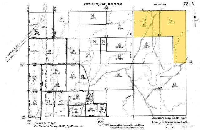
S E 1/4 SEC 21 TWP 9 N R 8 E M D B & M CONTG 160ACRES
Pasture
SACRAMENTO
AG-80
California
B and X Area of moderate flood hazard, usually the area between the limits of the 100-year and 500-year floods.
7
2024
160 AC
2025
Folsom
008402
Sacramento
1,736 SF
Sacramento-Roseville-Folsom, CA
NEARBY LISTINGS FOR SALE OR LEASE
DEMOGRAPHICS near Scott Rd
1 mile
3 mile
5 mile
2025 Total Population
3,752
36,024
101,281
2030 Population
4,526
38,346
104,416
Pop Growth 2025-2030
+ 20.63%
+ 6.45%
+ 3.10%
Average Age
33
39
41
2025 Total Households
1,144
12,523
36,922
HH Growth 2025-2030
+ 20.63%
+ 5.97%
+ 2.93%
Median Household Inc
$219,431
$166,444
$149,146
Avg Household Size
3.30
2.90
2.70
2025 Avg HH Vehicles
2.00
2.00
2.00
Median Home Value
$750,461
$772,802
$786,399
Median Year Built
2011
2005
2000
Nearby Places
Map Layers
Map Styles
 Street
 Aerial
Transit
 Traffic
 Biking
Places
Listings with unknown addresses are not visible on the map
- Restaurants
- Banks
- Shops
- Fitness
- Groceries
PUBLIC TRANSPORTATION
AIRPORT
Sacramento International
Drive
Walk
Distance
Sacramento International
47 min
37.1 mi
Freight Ports
Port of Stockton
Drive
Walk
Distance
Port of Stockton
82 min
58.8 mi
Nearby Properties
Address
Land Use
TOTAL SIZE
Lot Size
Zoning
Address
Land Use
TOTAL SIZE
Lot Size
Zoning
23.23 AC
SP-R-M (SP
Address
Land Use
TOTAL SIZE
Lot Size
Zoning
8.54 AC
SP-MHD (PD
Address
Land Use
TOTAL SIZE
Lot Size
Zoning
553,153 SF
33.17 AC
Address
Land Use
TOTAL SIZE
Lot Size
Zoning
6.29 AC
SP-C-2 (SP
Address
Land Use
TOTAL SIZE
Lot Size
Zoning
6.02 AC
C-3 (PD)
Address
Land Use
TOTAL SIZE
Lot Size
Zoning
121,378 SF
11.29 AC
M-L (PD)
Address
Land Use
TOTAL SIZE
Lot Size
Zoning
203,397 SF
11.58 AC
SP-R-4 (SP
Address
Land Use
TOTAL SIZE
Lot Size
Zoning
114,835 SF
19.73 AC
SP-C-2 (SP
Address
Land Use
TOTAL SIZE
Lot Size
Zoning
296,680 SF
15.65 AC
R-M (PD)
Address
Land Use
TOTAL SIZE
Lot Size
Zoning
5.73 AC
R-4 (PD)
Address
Land Use
TOTAL SIZE
Lot Size
Zoning
45,846 SF
12.62 AC
C-3 (PD)
Address
Land Use
TOTAL SIZE
Lot Size
Zoning
6.07 AC
SP-OS2 (SP
Address
Land Use
TOTAL SIZE
Lot Size
Zoning
154,998 SF
9.14 AC
M-L (PD)
Address
Land Use
TOTAL SIZE
Lot Size
Zoning
100,053 SF
7.80 AC
M-L (PD)
Address
Land Use
TOTAL SIZE
Lot Size
Zoning
148,663 SF
18.60 AC
SP-C-2 (SP
Address
Land Use
TOTAL SIZE
Lot Size
Zoning
4.68 AC
R-4 (PD) M
Address
Land Use
TOTAL SIZE
Lot Size
Zoning
296,680 SF
7.69 AC
R-M (PD)
Address
Land Use
TOTAL SIZE
Lot Size
Zoning
24.21 AC
C-3 (PD)
Address
Land Use
TOTAL SIZE
Lot Size
Zoning
50.99 AC
SP-GC (PD)
Address
Land Use
TOTAL SIZE
Lot Size
Zoning
76,737 SF
3.33 AC
C-3 (PD)
Address
Land Use
TOTAL SIZE
Lot Size
Zoning
8.85 AC
SP-SFHD (P
Address
Land Use
TOTAL SIZE
Lot Size
Zoning
95.73 AC
SP-P (SP 1
Address
Land Use
TOTAL SIZE
Lot Size
Zoning
258.46 AC
SP-MLD (PD
Address
Land Use
TOTAL SIZE
Lot Size
Zoning
93,440 SF
0.78 AC
C-3 (PD)
Address
Land Use
TOTAL SIZE
Lot Size
Zoning
130,715 SF
14.50 AC
C-3 (PD)
Address
Land Use
TOTAL SIZE
Lot Size
Zoning
234.25 AC
SP-OS1 (SP
Address
Land Use
TOTAL SIZE
Lot Size
Zoning
70,787 SF
3.11 AC
C-3 (PD)
Address
Land Use
TOTAL SIZE
Lot Size
Zoning
100,632 SF
8.08 AC
M-L (PD)
Address
Land Use
TOTAL SIZE
Lot Size
Zoning
90,924 SF
3.21 AC
SP-C-2 (SP
Address
Land Use
TOTAL SIZE
Lot Size
Zoning
45,514 SF
1.28 AC
C-3 (PD)
The World's #1 Commercial Real Estate Marketplace
Connect with us
© 2026 CoStar Group
The information above has been obtained from sources believed reliable. While we do not doubt its accuracy we have not verified it and make no guarantee, warranty or representation about it. It is your responsibility to independently confirm its accuracy and completeness. Any projections, opinions, assumptions, or estimates used are for example only and do not represent the current or future performance of the property. The value of this transaction to you depends on tax and other factors which should be evaluated by your tax, financial, and legal advisors. You and your advisors should conduct a careful, independent investigation of the property to determine to your satisfaction the suitability of the property for your needs.