Property Record
Se 29Th St, Topeka, KS 66605
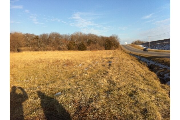

Property Detail
Se 29Th St
132-10-0-30-11-007-010
S10, T12, R16, ACRES 20.13, SW 1/4 LYING EAST OF WITTENBURG RD EXCEPT THAT PART PLATTED AS AQUARIAN ACRES & EXCEPT BEG 750 N SE COR SW 1/4 TH W 425 N 520 E 425 S 520 TO POB & LESS ROW
Agriculturalland
SHAWNEE
R1
Kansas
AE The base floodplain where base flood elevations are provided. AE Zones are now used on new format FIRMs instead of A1-A30 Zones.
20.13 AC
2024
Topeka
2025
Kansas City
003001
Topeka, KS
NEARBY LISTINGS FOR SALE OR LEASE
DEMOGRAPHICS near Se 29Th St
1 mile
3 mile
5 mile
2025 Total Population
3,344
35,852
86,013
2030 Population
3,321
35,931
86,731
Pop Growth 2025-2030
(0.69%)
+ 0.22%
+ 0.83%
Average Age
41
39
39
2025 Total Households
1,257
13,012
34,559
HH Growth 2025-2030
(0.80%)
+ 0.14%
+ 0.95%
Median Household Inc
$82,283
$52,938
$52,287
Avg Household Size
2.60
2.60
2.30
2025 Avg HH Vehicles
2.00
2.00
2.00
Median Home Value
$237,301
$134,700
$127,896
Median Year Built
1980
1969
1962
Nearby Places
Map Layers
Map Styles
 Street
 Aerial
Layers
 Traffic
 Biking
Places
Listings with unknown addresses are not visible on the map
- Restaurants
- Banks
- Shops
- Fitness
- Groceries
PUBLIC TRANSPORTATION
COMMUTER RAIL
Topeka Amtrak Station (Southwest Chief - Amtrak)
Drive
Walk
Distance
Topeka Amtrak Station (Southwest Chief - Amtrak)
10 min
5.0 mi
Freight Ports
Tulsa Port Of Catoosa
Drive
Walk
Distance
Tulsa Port Of Catoosa
280 min
227.0 mi
Nearby Properties
Address
Land Use
TOTAL SIZE
Lot Size
Zoning
Address
Land Use
TOTAL SIZE
Lot Size
Zoning
165,001 SF
24.83 AC
R1
Address
Land Use
TOTAL SIZE
Lot Size
Zoning
161,335 SF
37.32 AC
R1
Address
Land Use
TOTAL SIZE
Lot Size
Zoning
188,606 SF
8.42 AC
I1
Address
Land Use
TOTAL SIZE
Lot Size
Zoning
51,514 SF
1.87 AC
I2
Address
Land Use
TOTAL SIZE
Lot Size
Zoning
50,453 SF
14.29 AC
PUD,M2
Address
Land Use
TOTAL SIZE
Lot Size
Zoning
69,020 SF
26.47 AC
RR1
Address
Land Use
TOTAL SIZE
Lot Size
Zoning
77,793 SF
10.87 AC
C2,M1
Address
Land Use
TOTAL SIZE
Lot Size
Zoning
47,037 SF
8 AC
R2
Address
Land Use
TOTAL SIZE
Lot Size
Zoning
34,310 SF
6.01 AC
OI2
Address
Land Use
TOTAL SIZE
Lot Size
Zoning
28,978 SF
2.90 AC
PUD,M3
Address
Land Use
TOTAL SIZE
Lot Size
Zoning
38,866 SF
9.40 AC
R1
Address
Land Use
TOTAL SIZE
Lot Size
Zoning
99,149 SF
14.97 AC
PUD,M1
Address
Land Use
TOTAL SIZE
Lot Size
Zoning
44,619 SF
4.35 AC
R1,R2
Address
Land Use
TOTAL SIZE
Lot Size
Zoning
55,329 SF
19.45 AC
RR1
Address
Land Use
TOTAL SIZE
Lot Size
Zoning
61,755 SF
15.30 AC
RR1
Address
Land Use
TOTAL SIZE
Lot Size
Zoning
89,377 SF
11.06 AC
I2
Address
Land Use
TOTAL SIZE
Lot Size
Zoning
35,335 SF
3.08 AC
PUD,C2
Address
Land Use
TOTAL SIZE
Lot Size
Zoning
152,960 SF
7.40 AC
I1
Address
Land Use
TOTAL SIZE
Lot Size
Zoning
204.32 AC
RR1
Address
Land Use
TOTAL SIZE
Lot Size
Zoning
158,711 SF
27.34 AC
C4,M2,R1
Address
Land Use
TOTAL SIZE
Lot Size
Zoning
28,100 SF
77.80 AC
R1
Address
Land Use
TOTAL SIZE
Lot Size
Zoning
12,417 SF
3.82 AC
PUD,M2
Address
Land Use
TOTAL SIZE
Lot Size
Zoning
210,195 SF
14.26 AC
I1
Address
Land Use
TOTAL SIZE
Lot Size
Zoning
36,525 SF
3.61 AC
PUD,M2
Address
Land Use
TOTAL SIZE
Lot Size
Zoning
36,512 SF
6.72 AC
R2
Address
Land Use
TOTAL SIZE
Lot Size
Zoning
40,090 SF
2.97 AC
PUD,M2
Address
Land Use
TOTAL SIZE
Lot Size
Zoning
4,074 SF
74.27 AC
RR1
Address
Land Use
TOTAL SIZE
Lot Size
Zoning
23,960 SF
3.87 AC
R1
Address
Land Use
TOTAL SIZE
Lot Size
Zoning
47,340 SF
7.04 AC
R1
Address
Land Use
TOTAL SIZE
Lot Size
Zoning
13,793 SF
2.97 AC
PUD,M2
The World's #1 Commercial Real Estate Marketplace
Connect with us
© 2026 CoStar Group
The information above has been obtained from sources believed reliable. While we do not doubt its accuracy we have not verified it and make no guarantee, warranty or representation about it. It is your responsibility to independently confirm its accuracy and completeness. Any projections, opinions, assumptions, or estimates used are for example only and do not represent the current or future performance of the property. The value of this transaction to you depends on tax and other factors which should be evaluated by your tax, financial, and legal advisors. You and your advisors should conduct a careful, independent investigation of the property to determine to your satisfaction the suitability of the property for your needs.