Property Record
Shady Ac N, Centerton, AR 72719


Save to a Folder
{{folder.Name}}
{{folder.ListingIds.length}} Properties
{{folder.ListingIds.length}} Property
Create a New Folder
Property Detail
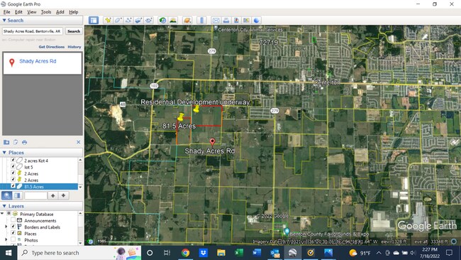
Shady Ac N
Fayetteville-Springdale-Rogers, AR
THE SE 1/4 OF THE SE 1/4 OF SECTION 1, TOWNSHIP 19 NORTH, RANGE 32 WEST, BENTON COUNTY, ARKANSAS. THE NE 1/4 OF THE NE 1/4 OF SECTION 12, TOWNSHIP 19 NORTH, RANGE 32 WEST, BENTON COUNTY, ARKANSAS. LESS AND EXCEPT: PART OF THE NE 1/4 OF THE NE 1/4 OF
06-00085-301
BENTON
Residentialacreage
Arkansas
B and X Area of moderate flood hazard, usually the area between the limits of the 100-year and 500-year floods.
35.21 AC
2025
Outlying Benton County
2025
Fayetteville/Springdale/Rogers
020904
NEARBY LISTINGS FOR SALE OR LEASE
DEMOGRAPHICS near Shady Ac N
1 mile
3 mile
5 mile
2025 Total Population
306
13,314
44,179
2030 Population
353
15,091
49,467
Pop Growth 2025-2030
+ 15.36%
+ 13.35%
+ 11.97%
Average Age
33
34
33
2025 Total Households
102
4,701
15,317
HH Growth 2025-2030
+ 14.71%
+ 13.61%
+ 12.29%
Median Household Inc
$95,192
$106,403
$116,867
Avg Household Size
3.00
2.80
2.90
2025 Avg HH Vehicles
2.00
2.00
2.00
Median Home Value
$421,052
$401,635
$404,894
Median Year Built
2010
2010
2010
Nearby Places
Map Layers
Map Styles
 Street
 Aerial
Layers
 Traffic
 Biking
Places
Listings with unknown addresses are not visible on the map
- Restaurants
- Banks
- Shops
- Fitness
- Groceries
PUBLIC TRANSPORTATION
AIRPORT
Northwest Arkansas Ntl
Drive
Walk
Distance
Northwest Arkansas Ntl
21 min
6.7 mi
Freight Ports
Tulsa Port of Inola
Drive
Walk
Distance
Tulsa Port of Inola
105 min
84.9 mi
SALE & LEASE HISTORY
LISTING DATE
SALE/LEASE

Jul 18, 2022
For Sale
Nearby Properties
Address
Land Use
TOTAL SIZE
Lot Size
Zoning
Address
Land Use
TOTAL SIZE
Lot Size
Zoning
349,986 SF
18.55 AC
Address
Land Use
TOTAL SIZE
Lot Size
Zoning
199,773 SF
14.09 AC
Address
Land Use
TOTAL SIZE
Lot Size
Zoning
23,136 SF
6.48 AC
Address
Land Use
TOTAL SIZE
Lot Size
Zoning
91,664 SF
5.01 AC
Address
Land Use
TOTAL SIZE
Lot Size
Zoning
85,472 SF
3.82 AC
Address
Land Use
TOTAL SIZE
Lot Size
Zoning
57,290 SF
5 AC
Address
Land Use
TOTAL SIZE
Lot Size
Zoning
36,982 SF
114.38 AC
Address
Land Use
TOTAL SIZE
Lot Size
Zoning
66,750 SF
5.54 AC
Address
Land Use
TOTAL SIZE
Lot Size
Zoning
20.58 AC
Address
Land Use
TOTAL SIZE
Lot Size
Zoning
27,600 SF
2.59 AC
Address
Land Use
TOTAL SIZE
Lot Size
Zoning
21,800 SF
7 AC
Address
Land Use
TOTAL SIZE
Lot Size
Zoning
30,000 SF
3.99 AC
Address
Land Use
TOTAL SIZE
Lot Size
Zoning
6,398 SF
0.87 AC
Address
Land Use
TOTAL SIZE
Lot Size
Zoning
52,520 SF
4.72 AC
Address
Land Use
TOTAL SIZE
Lot Size
Zoning
30,918 SF
2.54 AC
Address
Land Use
TOTAL SIZE
Lot Size
Zoning
4,273 SF
1.26 AC
Address
Land Use
TOTAL SIZE
Lot Size
Zoning
40,930 SF
4 AC
Address
Land Use
TOTAL SIZE
Lot Size
Zoning
29.15 AC
Address
Land Use
TOTAL SIZE
Lot Size
Zoning
19,062 SF
3.94 AC
Address
Land Use
TOTAL SIZE
Lot Size
Zoning
21,256 SF
1.02 AC
Address
Land Use
TOTAL SIZE
Lot Size
Zoning
27,750 SF
10.53 AC
Address
Land Use
TOTAL SIZE
Lot Size
Zoning
24.02 AC
Address
Land Use
TOTAL SIZE
Lot Size
Zoning
10,857 SF
1.64 AC
Address
Land Use
TOTAL SIZE
Lot Size
Zoning
3,761 SF
0.94 AC
Address
Land Use
TOTAL SIZE
Lot Size
Zoning
5,883 SF
0.77 AC
Address
Land Use
TOTAL SIZE
Lot Size
Zoning
Address
Land Use
TOTAL SIZE
Lot Size
Zoning
3,768 SF
0.92 AC
Address
Land Use
TOTAL SIZE
Lot Size
Zoning
5,305 SF
1.96 AC
Address
Land Use
TOTAL SIZE
Lot Size
Zoning
896 SF
19.84 AC
Address
Land Use
TOTAL SIZE
Lot Size
Zoning
8,000 SF
1.24 AC
The World's #1 Commercial Real Estate Marketplace
Connect with us
© 2026 CoStar Group
The information above has been obtained from sources believed reliable. While we do not doubt its accuracy we have not verified it and make no guarantee, warranty or representation about it. It is your responsibility to independently confirm its accuracy and completeness. Any projections, opinions, assumptions, or estimates used are for example only and do not represent the current or future performance of the property. The value of this transaction to you depends on tax and other factors which should be evaluated by your tax, financial, and legal advisors. You and your advisors should conduct a careful, independent investigation of the property to determine to your satisfaction the suitability of the property for your needs.