Property Record
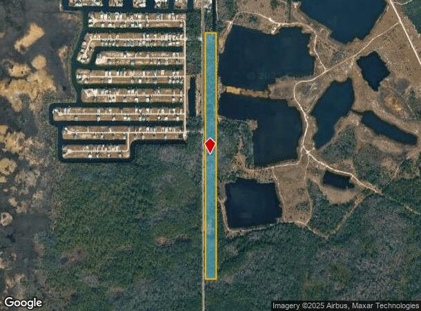
Shoal Line Blvd, Hernando Beach, FL 34607


Property Detail
Shoal Line Blvd
R24-423-16-0000-0020-0000
THAT PART OF E1/4 LYING E OF SR 595 LESS N395 FT MOL AS DESC IN ORB 3597 PG 234
Stateproperty
Hernando
AE
Florida
12053C0282E
24.20 AC
0
Hernando County
2025
Tampa/St Petersburg
041502
Tampa-St. Petersburg-Clearwater, FL
NEARBY LISTINGS FOR SALE OR LEASE
DEMOGRAPHICS near Shoal Line Blvd
1 mile
3 mile
5 mile
2024 Total Population
812
12,828
49,804
2029 Population
929
14,885
57,931
Pop Growth 2024-2029
+ 14.41%
+ 16.04%
+ 16.32%
Average Age
52
52
49
2024 Total Households
396
5,980
22,331
HH Growth 2024-2029
+ 14.65%
+ 16.00%
+ 16.37%
Median Household Inc
$61,704
$51,841
$51,329
Avg Household Size
2.00
2.10
2.20
2024 Avg HH Vehicles
2.00
2.00
2.00
Median Home Value
$320,863
$233,515
$219,449
Median Year Built
1987
1986
1987
Nearby Places
Map Layers
Map Styles
 Street
 Aerial
Transit
 Traffic
 Biking
Places
Listings with unknown addresses are not visible on the map
- Restaurants
- Banks
- Shops
- Fitness
- Groceries
SALE & LEASE HISTORY
LISTING DATE
SALE/LEASE

Sep 24, 2016
For Sale
Nearby Properties
Address
Land Use
TOTAL SIZE
Lot Size
Zoning
Address
Land Use
TOTAL SIZE
Lot Size
Zoning
222,888 SF
7 AC
Address
Land Use
TOTAL SIZE
Lot Size
Zoning
217,451 SF
19.40 AC
Address
Land Use
TOTAL SIZE
Lot Size
Zoning
232,408 SF
24.40 AC
Address
Land Use
TOTAL SIZE
Lot Size
Zoning
108,275 SF
1.79 AC
Address
Land Use
TOTAL SIZE
Lot Size
Zoning
115,496 SF
12.20 AC
Address
Land Use
TOTAL SIZE
Lot Size
Zoning
115,277 SF
8.40 AC
Address
Land Use
TOTAL SIZE
Lot Size
Zoning
226,102 SF
15.20 AC
Address
Land Use
TOTAL SIZE
Lot Size
Zoning
155,070 SF
10.69 AC
Address
Land Use
TOTAL SIZE
Lot Size
Zoning
89,263 SF
3.54 AC
Address
Land Use
TOTAL SIZE
Lot Size
Zoning
40,066 SF
1.99 AC
Address
Land Use
TOTAL SIZE
Lot Size
Zoning
Address
Land Use
TOTAL SIZE
Lot Size
Zoning
54,136 SF
8.20 AC
Address
Land Use
TOTAL SIZE
Lot Size
Zoning
Address
Land Use
TOTAL SIZE
Lot Size
Zoning
67,576 SF
2.11 AC
Address
Land Use
TOTAL SIZE
Lot Size
Zoning
6,743 SF
3.47 AC
Address
Land Use
TOTAL SIZE
Lot Size
Zoning
83,815 SF
12.10 AC
Address
Land Use
TOTAL SIZE
Lot Size
Zoning
44,369 SF
2.64 AC
Address
Land Use
TOTAL SIZE
Lot Size
Zoning
47,910 SF
0.68 AC
Address
Land Use
TOTAL SIZE
Lot Size
Zoning
8,760 SF
2.29 AC
Address
Land Use
TOTAL SIZE
Lot Size
Zoning
45,146 SF
3.21 AC
Address
Land Use
TOTAL SIZE
Lot Size
Zoning
34,389 SF
4.87 AC
Address
Land Use
TOTAL SIZE
Lot Size
Zoning
83,834 SF
7 AC
Address
Land Use
TOTAL SIZE
Lot Size
Zoning
39,024 SF
5.55 AC
MF1
Address
Land Use
TOTAL SIZE
Lot Size
Zoning
16,438 SF
4.16 AC
Address
Land Use
TOTAL SIZE
Lot Size
Zoning
91,049 SF
9.20 AC
Address
Land Use
TOTAL SIZE
Lot Size
Zoning
7,284 SF
0.22 AC
Address
Land Use
TOTAL SIZE
Lot Size
Zoning
15,441 SF
1.90 AC
Address
Land Use
TOTAL SIZE
Lot Size
Zoning
6,474 SF
3.26 AC
Address
Land Use
TOTAL SIZE
Lot Size
Zoning
11,268 SF
1.11 AC
Address
Land Use
TOTAL SIZE
Lot Size
Zoning
24,744 SF
3.29 AC
The World's #1 Commercial Real Estate Marketplace
Connect with us
© 2026 CoStar Group
The information above has been obtained from sources believed reliable. While we do not doubt its accuracy we have not verified it and make no guarantee, warranty or representation about it. It is your responsibility to independently confirm its accuracy and completeness. Any projections, opinions, assumptions, or estimates used are for example only and do not represent the current or future performance of the property. The value of this transaction to you depends on tax and other factors which should be evaluated by your tax, financial, and legal advisors. You and your advisors should conduct a careful, independent investigation of the property to determine to your satisfaction the suitability of the property for your needs.