Property Record
4150 Royalhill Ave, Las Vegas, NV 89121

NEARBY LISTINGS FOR SALE OR LEASE
Property Detail
4150 Royalhill Ave
177-30-102-001
PT NW4 NW4 SEC 30 22 61
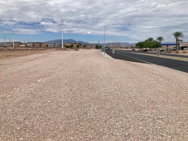
Vacantlandnec
Clark
X
Nevada
32003C2565D
1.25 AC
2025
Southwest Las Vegas
2025
Las Vegas
005834
Las Vegas-Henderson-Paradise, NV
DEMOGRAPHICS near 4150 Royalhill Ave
1 Mile
3 Mile
5 Mile
2024 Total Population
18,930
101,887
266,104
2029 Population
20,600
111,467
288,913
Pop Growth 2024-2029
+ 8.82%
+ 9.40%
+ 8.57%
Average Age
39
38
38
2024 Total Households
6,594
36,436
97,017
HH Growth 2024-2029
+ 8.69%
+ 9.29%
+ 8.46%
Median Household Inc
$107,234
$94,705
$85,036
Avg Household Size
2.80
2.80
2.70
2024 Avg HH Vehicles
2.00
2.00
2.00
Median Home Value
$457,417
$428,459
$411,159
Median Year Built
2006
2007
2005
Nearby Places
Map Layers
Map Styles
 Street
 Aerial
- Restaurants
- Banks
- Shops
- Fitness
- Groceries
PUBLIC TRANSPORTATION
AIRPORT
Harry Reid International
DRIVE
WALK
Distance
Harry Reid International
13 min
8.1 mi
Boulder City Municipal
DRIVE
WALK
Distance
Boulder City Municipal
35 min
23.7 mi
Freight Ports
Port of Long Beach
DRIVE
WALK
Distance
Port of Long Beach
304 min
273.4 mi
SALE & LEASE HISTORY
LISTING DATE
SALE/LEASE

Sep 19, 2023
For Sale
Nearby Properties
Address
Land Use
TOTAL SIZE
Lot Size
Zoning
Address
Land Use
TOTAL SIZE
Lot Size
Zoning
2,340,130 SF
56.10 AC
H1
Address
Land Use
TOTAL SIZE
Lot Size
Zoning
14,422 SF
30.79 AC
Address
Land Use
TOTAL SIZE
Lot Size
Zoning
60 AC
PF
Address
Land Use
TOTAL SIZE
Lot Size
Zoning
391,021 SF
40.14 AC
Address
Land Use
TOTAL SIZE
Lot Size
Zoning
222,625 SF
16.99 AC
Address
Land Use
TOTAL SIZE
Lot Size
Zoning
7,370 SF
18.03 AC
Address
Land Use
TOTAL SIZE
Lot Size
Zoning
4,924 SF
16.14 AC
C:R-3
Address
Land Use
TOTAL SIZE
Lot Size
Zoning
4,405 SF
19.79 AC
Address
Land Use
TOTAL SIZE
Lot Size
Zoning
4,444 SF
18.11 AC
Address
Land Use
TOTAL SIZE
Lot Size
Zoning
117.50 AC
Address
Land Use
TOTAL SIZE
Lot Size
Zoning
4,830 SF
15.84 AC
Address
Land Use
TOTAL SIZE
Lot Size
Zoning
4,199 SF
12.11 AC
RE
Address
Land Use
TOTAL SIZE
Lot Size
Zoning
6,782 SF
17.45 AC
R3
Address
Land Use
TOTAL SIZE
Lot Size
Zoning
5,921 SF
17.62 AC
RE
Address
Land Use
TOTAL SIZE
Lot Size
Zoning
22,180 SF
5.89 AC
Address
Land Use
TOTAL SIZE
Lot Size
Zoning
3,148 SF
18.80 AC
R3
Address
Land Use
TOTAL SIZE
Lot Size
Zoning
4,393 SF
14.25 AC
Address
Land Use
TOTAL SIZE
Lot Size
Zoning
18.03 AC
PF
Address
Land Use
TOTAL SIZE
Lot Size
Zoning
13 AC
RE
Address
Land Use
TOTAL SIZE
Lot Size
Zoning
5,697 SF
10.66 AC
R3
Address
Land Use
TOTAL SIZE
Lot Size
Zoning
53,331 SF
77.50 AC
Address
Land Use
TOTAL SIZE
Lot Size
Zoning
192,814 SF
20.27 AC
Address
Land Use
TOTAL SIZE
Lot Size
Zoning
4,278 SF
16.53 AC
H1
Address
Land Use
TOTAL SIZE
Lot Size
Zoning
6,095 SF
13.82 AC
Address
Land Use
TOTAL SIZE
Lot Size
Zoning
494,886 SF
26.61 AC
M1
Address
Land Use
TOTAL SIZE
Lot Size
Zoning
4,169 SF
19.06 AC
R3
Address
Land Use
TOTAL SIZE
Lot Size
Zoning
192,537 SF
23.45 AC
Address
Land Use
TOTAL SIZE
Lot Size
Zoning
321,208 SF
19.80 AC
The World's #1 Commercial Real Estate Marketplace
Connect with us
© 2025 CoStar Group
The information above has been obtained from sources believed reliable. While we do not doubt its accuracy we have not verified it and make no guarantee, warranty or representation about it. It is your responsibility to independently confirm its accuracy and completeness. Any projections, opinions, assumptions, or estimates used are for example only and do not represent the current or future performance of the property. The value of this transaction to you depends on tax and other factors which should be evaluated by your tax, financial, and legal advisors. You and your advisors should conduct a careful, independent investigation of the property to determine to your satisfaction the suitability of the property for your needs.