Property Record
Spanish Gulch Rd, Anderson, CA 96007


NEARBY LISTINGS FOR SALE OR LEASE
Property Detail
Spanish Gulch Rd
207-220-001-000
Buena Ventura Rho/Reading Gran
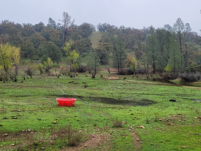
Agriculturalland
Shasta
A
California
06089C1930G
335.20 AC
2024
Redding/Chico
2025
Other Market Areas
0123011024
Redding, CA
DEMOGRAPHICS near Spanish Gulch Rd
1 Mile
3 Mile
5 Mile
2024 Total Population
866
13,991
32,370
2029 Population
863
13,905
32,246
Pop Growth 2024-2029
(0.35%)
(0.61%)
(0.38%)
Average Age
42
41
42
2024 Total Households
342
5,506
12,627
HH Growth 2024-2029
(0.29%)
(0.65%)
(0.43%)
Median Household Inc
$64,865
$50,019
$57,464
Avg Household Size
2.40
2.50
2.50
2024 Avg HH Vehicles
2.00
2.00
2.00
Median Home Value
$244,059
$254,720
$306,743
Median Year Built
1970
1978
1978
Nearby Places
Map Layers
Map Styles
 Street
 Aerial
- Restaurants
- Banks
- Shops
- Fitness
- Groceries
PUBLIC TRANSPORTATION
COMMUTER RAIL
Redding Amtrak (Coast Starlight - Amtrak)
DRIVE
WALK
Distance
Redding Amtrak (Coast Starlight - Amtrak)
18 min
9.2 mi
AIRPORT
Redding Regional
DRIVE
WALK
Distance
Redding Regional
15 min
7.7 mi
Freight Ports
Port of Richmond
DRIVE
WALK
Distance
Port of Richmond
227 min
198.5 mi
SALE & LEASE HISTORY
LISTING DATE
SALE/LEASE

Sep 24, 2016
For Sale
Oct 31, 2016
For Sale
Nov 29, 2021
For Sale
Mar 30, 2017
For Sale
Nearby Properties
Address
Land Use
TOTAL SIZE
Lot Size
Zoning
Address
Land Use
TOTAL SIZE
Lot Size
Zoning
373 SF
113.03 AC
Address
Land Use
TOTAL SIZE
Lot Size
Zoning
Address
Land Use
TOTAL SIZE
Lot Size
Zoning
37,651 SF
26.49 AC
M-L
Address
Land Use
TOTAL SIZE
Lot Size
Zoning
20.19 AC
C-M
Address
Land Use
TOTAL SIZE
Lot Size
Zoning
7.34 AC
F-1
Address
Land Use
TOTAL SIZE
Lot Size
Zoning
3.50 AC
M-L
Address
Land Use
TOTAL SIZE
Lot Size
Zoning
56,474 SF
19.20 AC
Address
Land Use
TOTAL SIZE
Lot Size
Zoning
3.54 AC
Address
Land Use
TOTAL SIZE
Lot Size
Zoning
1,472 SF
7.59 AC
M-L
Address
Land Use
TOTAL SIZE
Lot Size
Zoning
7.56 AC
Address
Land Use
TOTAL SIZE
Lot Size
Zoning
6,167 SF
2.28 AC
Address
Land Use
TOTAL SIZE
Lot Size
Zoning
182.49 AC
M
Address
Land Use
TOTAL SIZE
Lot Size
Zoning
42,268 SF
3.07 AC
Address
Land Use
TOTAL SIZE
Lot Size
Zoning
3,750 SF
5.14 AC
Address
Land Use
TOTAL SIZE
Lot Size
Zoning
1,440 SF
17.13 AC
R-R-T-BA-9
Address
Land Use
TOTAL SIZE
Lot Size
Zoning
13.10 AC
C-M-DR
Address
Land Use
TOTAL SIZE
Lot Size
Zoning
20.39 AC
C-R
Address
Land Use
TOTAL SIZE
Lot Size
Zoning
17.22 AC
M
Address
Land Use
TOTAL SIZE
Lot Size
Zoning
20,000 SF
10.12 AC
Address
Land Use
TOTAL SIZE
Lot Size
Zoning
4,410 SF
5.67 AC
PD-MRB
Address
Land Use
TOTAL SIZE
Lot Size
Zoning
12,464 SF
3.01 AC
Address
Land Use
TOTAL SIZE
Lot Size
Zoning
2,764 SF
29.42 AC
A-1
Address
Land Use
TOTAL SIZE
Lot Size
Zoning
5,000 SF
5 AC
M
Address
Land Use
TOTAL SIZE
Lot Size
Zoning
6,000 SF
1.06 AC
Address
Land Use
TOTAL SIZE
Lot Size
Zoning
2,632 SF
40 AC
M
Address
Land Use
TOTAL SIZE
Lot Size
Zoning
7,500 SF
2.16 AC
Address
Land Use
TOTAL SIZE
Lot Size
Zoning
1,440 SF
6.68 AC
C-M
Address
Land Use
TOTAL SIZE
Lot Size
Zoning
9,424 SF
5.96 AC
R-R-T-BA-6
Address
Land Use
TOTAL SIZE
Lot Size
Zoning
15,600 SF
1.03 AC
Address
Land Use
TOTAL SIZE
Lot Size
Zoning
300 SF
3.61 AC
C-M
The World's #1 Commercial Real Estate Marketplace
Connect with us
© 2025 CoStar Group
The information above has been obtained from sources believed reliable. While we do not doubt its accuracy we have not verified it and make no guarantee, warranty or representation about it. It is your responsibility to independently confirm its accuracy and completeness. Any projections, opinions, assumptions, or estimates used are for example only and do not represent the current or future performance of the property. The value of this transaction to you depends on tax and other factors which should be evaluated by your tax, financial, and legal advisors. You and your advisors should conduct a careful, independent investigation of the property to determine to your satisfaction the suitability of the property for your needs.