Property Record
Springfield Rd, Soddy Daisy, TN 37379


NEARBY LISTINGS FOR SALE OR LEASE
Property Detail
Springfield Rd
Chattanooga, TN-GA
Estate Of Haston Poe
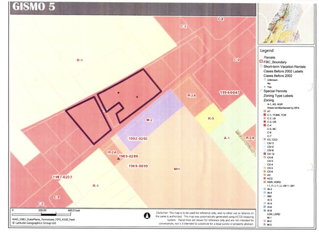
065-053
SPRINGFIELD RD
Vacantlandnec
Hamilton
X
Tennessee
47065C0227G
1.17 AC
2025
Outlying Hamilton County
2025
Chattanooga
010306
DEMOGRAPHICS near Springfield Rd
1 Mile
3 Mile
5 Mile
2024 Total Population
2,434
15,939
40,151
2029 Population
2,604
16,914
42,613
Pop Growth 2024-2029
+ 6.98%
+ 6.12%
+ 6.13%
Average Age
44
42
42
2024 Total Households
1,064
6,334
15,642
HH Growth 2024-2029
+ 7.05%
+ 6.25%
+ 6.25%
Median Household Inc
$53,571
$67,609
$78,769
Avg Household Size
2.30
2.50
2.50
2024 Avg HH Vehicles
2.00
2.00
2.00
Median Home Value
$210,000
$223,499
$255,101
Median Year Built
1987
1984
1986
Nearby Places
Map Layers
Map Styles
 Street
 Aerial
- Restaurants
- Banks
- Shops
- Fitness
- Groceries
PUBLIC TRANSPORTATION
AIRPORT
Lovell Field
DRIVE
WALK
Distance
Lovell Field
30 min
20.2 mi
Freight Ports
Georgia Ports - Savannah
DRIVE
WALK
Distance
Georgia Ports - Savannah
425 min
378.1 mi
SALE & LEASE HISTORY
LISTING DATE
SALE/LEASE

Mar 26, 2020
For Sale
Nearby Properties
Address
Land Use
TOTAL SIZE
Lot Size
Zoning
Address
Land Use
TOTAL SIZE
Lot Size
Zoning
141,494 SF
32.80 AC
C2
Address
Land Use
TOTAL SIZE
Lot Size
Zoning
60,196 SF
12.36 AC
A
Address
Land Use
TOTAL SIZE
Lot Size
Zoning
154,616 SF
15.91 AC
C2
Address
Land Use
TOTAL SIZE
Lot Size
Zoning
6,204 SF
7.70 AC
A1
Address
Land Use
TOTAL SIZE
Lot Size
Zoning
11,876 SF
2.73 AC
C2
Address
Land Use
TOTAL SIZE
Lot Size
Zoning
14,912 SF
17 AC
A
Address
Land Use
TOTAL SIZE
Lot Size
Zoning
57,670 SF
5.60 AC
TC
Address
Land Use
TOTAL SIZE
Lot Size
Zoning
43,445 SF
14 AC
RR
Address
Land Use
TOTAL SIZE
Lot Size
Zoning
7.73 AC
UR
Address
Land Use
TOTAL SIZE
Lot Size
Zoning
0.05 AC
Address
Land Use
TOTAL SIZE
Lot Size
Zoning
37,866 SF
7.60 AC
UR
Address
Land Use
TOTAL SIZE
Lot Size
Zoning
37,984 SF
5.65 AC
Address
Land Use
TOTAL SIZE
Lot Size
Zoning
11,790 SF
7.69 AC
M2
Address
Land Use
TOTAL SIZE
Lot Size
Zoning
92,135 SF
25.32 AC
A
Address
Land Use
TOTAL SIZE
Lot Size
Zoning
17,501 SF
20.08 AC
MH
Address
Land Use
TOTAL SIZE
Lot Size
Zoning
62,960 SF
29.93 AC
A
Address
Land Use
TOTAL SIZE
Lot Size
Zoning
18,352 SF
5.45 AC
UR
Address
Land Use
TOTAL SIZE
Lot Size
Zoning
62,845 SF
5.14 AC
IN
Address
Land Use
TOTAL SIZE
Lot Size
Zoning
42,449 SF
6.80 AC
C2
Address
Land Use
TOTAL SIZE
Lot Size
Zoning
64.53 AC
Address
Land Use
TOTAL SIZE
Lot Size
Zoning
82,430 SF
22.60 AC
A
Address
Land Use
TOTAL SIZE
Lot Size
Zoning
Address
Land Use
TOTAL SIZE
Lot Size
Zoning
32.80 AC
Address
Land Use
TOTAL SIZE
Lot Size
Zoning
71,712 SF
7 AC
M2
Address
Land Use
TOTAL SIZE
Lot Size
Zoning
155,896 SF
13.50 AC
M1
Address
Land Use
TOTAL SIZE
Lot Size
Zoning
63,032 SF
4.05 AC
M2
Address
Land Use
TOTAL SIZE
Lot Size
Zoning
5,684 SF
8.80 AC
Address
Land Use
TOTAL SIZE
Lot Size
Zoning
152.39 AC
Address
Land Use
TOTAL SIZE
Lot Size
Zoning
14,756 SF
1.74 AC
C2
Address
Land Use
TOTAL SIZE
Lot Size
Zoning
7,500 SF
3.94 AC
M2
The World's #1 Commercial Real Estate Marketplace
Connect with us
© 2026 CoStar Group
The information above has been obtained from sources believed reliable. While we do not doubt its accuracy we have not verified it and make no guarantee, warranty or representation about it. It is your responsibility to independently confirm its accuracy and completeness. Any projections, opinions, assumptions, or estimates used are for example only and do not represent the current or future performance of the property. The value of this transaction to you depends on tax and other factors which should be evaluated by your tax, financial, and legal advisors. You and your advisors should conduct a careful, independent investigation of the property to determine to your satisfaction the suitability of the property for your needs.