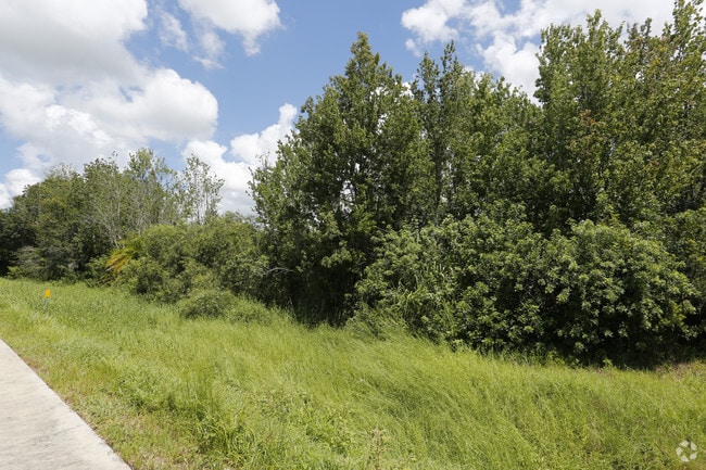
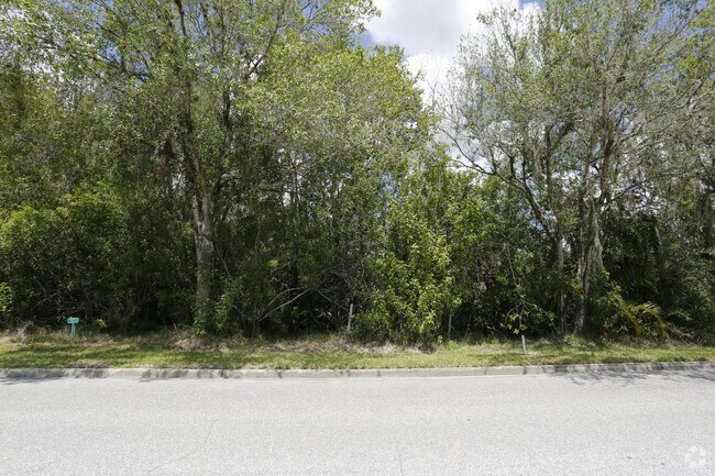
Property Record
Sr64 E Sr 64 E, Bradenton, FL 34212

Property Detail
Sr64 E Sr 64 E
5647-3050-9
THAT PART OF SEC 29, MORE PARTICULARLY DESC AS FOL: COM AT THE SE COR OF THE SW1/4 OF SD SEC 29; TH N 00 DEG 24 MIN 36 SEC W, ALG THE E LN OF SD SW1/4, A DIST OF 241.55 FT TO A PT
Vacantlandnec
MANATEE
A,A-1
Florida
A Areas with a 1% annual chance of flooding and a 26% chance of flooding over the life of a 30-year mortgage.
17.07 AC
2023
Manatee Outlying
2025
Tampa/St Petersburg
002018
North Port-Bradenton-Sarasota, FL
NEARBY LISTINGS FOR SALE OR LEASE
DEMOGRAPHICS near Sr64 E Sr 64 E
1 mile
3 mile
5 mile
2025 Total Population
6,604
38,124
98,682
2030 Population
7,492
43,346
111,663
Pop Growth 2025-2030
+ 13.45%
+ 13.70%
+ 13.15%
Average Age
44
46
47
2025 Total Households
2,502
15,031
40,449
HH Growth 2025-2030
+ 13.59%
+ 14.01%
+ 13.38%
Median Household Inc
$127,969
$124,605
$110,904
Avg Household Size
2.60
2.50
2.40
2025 Avg HH Vehicles
2.00
2.00
2.00
Median Home Value
$587,711
$609,863
$529,904
Median Year Built
2010
2010
2010
Nearby Places
Map Layers
Map Styles
 Street
 Aerial
Transit
 Traffic
 Biking
Places
Listings with unknown addresses are not visible on the map
- Restaurants
- Banks
- Shops
- Fitness
- Groceries
PUBLIC TRANSPORTATION
AIRPORT
Sarasota/Bradenton International
Drive
Walk
Distance
Sarasota/Bradenton International
28 min
18.4 mi
Freight Ports
Port Manatee
Drive
Walk
Distance
Port Manatee
25 min
16.1 mi
Nearby Properties
Address
Land Use
TOTAL SIZE
Lot Size
Zoning
Address
Land Use
TOTAL SIZE
Lot Size
Zoning
602,710 SF
36.57 AC
PD-MU
Address
Land Use
TOTAL SIZE
Lot Size
Zoning
628,167 SF
16.77 AC
PD-MU
Address
Land Use
TOTAL SIZE
Lot Size
Zoning
451,049 SF
55.56 AC
PDMU
Address
Land Use
TOTAL SIZE
Lot Size
Zoning
349,074 SF
15.03 AC
PD-MU
Address
Land Use
TOTAL SIZE
Lot Size
Zoning
412,218 SF
19.09 AC
PD-MU
Address
Land Use
TOTAL SIZE
Lot Size
Zoning
282,022 SF
21.30 AC
GC GENERA
Address
Land Use
TOTAL SIZE
Lot Size
Zoning
335,712 SF
27.91 AC
PD-MU
Address
Land Use
TOTAL SIZE
Lot Size
Zoning
349,151 SF
16.70 AC
PD-MU
Address
Land Use
TOTAL SIZE
Lot Size
Zoning
384,346 SF
56.41 AC
PD-PI
Address
Land Use
TOTAL SIZE
Lot Size
Zoning
405,307 SF
23.79 AC
PD-MU
Address
Land Use
TOTAL SIZE
Lot Size
Zoning
201,213 SF
27.17 AC
PD-MU
Address
Land Use
TOTAL SIZE
Lot Size
Zoning
211,519 SF
82.32 AC
PD-MU
Address
Land Use
TOTAL SIZE
Lot Size
Zoning
293,332 SF
50.52 AC
A-1 SUBURB
Address
Land Use
TOTAL SIZE
Lot Size
Zoning
125,972 SF
24.18 AC
PD-PI
Address
Land Use
TOTAL SIZE
Lot Size
Zoning
175,410 SF
39.05 AC
PD-MU
Address
Land Use
TOTAL SIZE
Lot Size
Zoning
210,061 SF
45.14 AC
A-1 SUBURB
Address
Land Use
TOTAL SIZE
Lot Size
Zoning
158,863 SF
71.98 AC
A GENERAL
Address
Land Use
TOTAL SIZE
Lot Size
Zoning
89,137 SF
11.61 AC
Address
Land Use
TOTAL SIZE
Lot Size
Zoning
29,566 SF
1.17 AC
PD-PI
Address
Land Use
TOTAL SIZE
Lot Size
Zoning
164,551 SF
31.22 AC
PD-MU
Address
Land Use
TOTAL SIZE
Lot Size
Zoning
160,163 SF
16.35 AC
PD-MU
Address
Land Use
TOTAL SIZE
Lot Size
Zoning
125,678 SF
48.86 AC
Address
Land Use
TOTAL SIZE
Lot Size
Zoning
197,761 SF
22.73 AC
PD-R,A
Address
Land Use
TOTAL SIZE
Lot Size
Zoning
106,384 SF
15.55 AC
PD-MU
Address
Land Use
TOTAL SIZE
Lot Size
Zoning
57,754 SF
8.53 AC
Address
Land Use
TOTAL SIZE
Lot Size
Zoning
100,270 SF
5.58 AC
PD-MU
Address
Land Use
TOTAL SIZE
Lot Size
Zoning
100,270 SF
6.98 AC
PD-MU
Address
Land Use
TOTAL SIZE
Lot Size
Zoning
76,172 SF
89.74 AC
Address
Land Use
TOTAL SIZE
Lot Size
Zoning
76,172 SF
92.93 AC
PD-R
Address
Land Use
TOTAL SIZE
Lot Size
Zoning
42,905 SF
6.17 AC
PD-C
The World's #1 Commercial Real Estate Marketplace
Connect with us
© 2026 CoStar Group
The information above has been obtained from sources believed reliable. While we do not doubt its accuracy we have not verified it and make no guarantee, warranty or representation about it. It is your responsibility to independently confirm its accuracy and completeness. Any projections, opinions, assumptions, or estimates used are for example only and do not represent the current or future performance of the property. The value of this transaction to you depends on tax and other factors which should be evaluated by your tax, financial, and legal advisors. You and your advisors should conduct a careful, independent investigation of the property to determine to your satisfaction the suitability of the property for your needs.