Property Record
St Luke Church Rd, Goldston, NC 27252


NEARBY LISTINGS FOR SALE OR LEASE
-
-
View all Goldston listings for sale on LoopNet.com
Property Detail
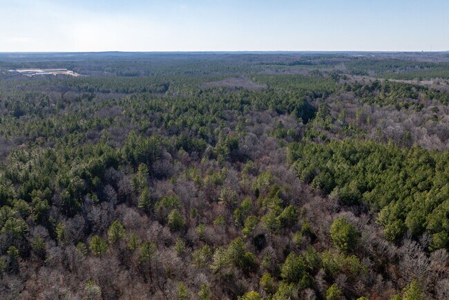
St Luke Church Rd
Durham-Chapel Hill, NC
South East Gulf
9798
H10-71 AC 38.4
Vacantlandnec
Chatham
X
North Carolina
3710960600J
38.40 AC
2025
Chatham County
2025
Raleigh/Durham
020600
DEMOGRAPHICS near St Luke Church Rd
1 Mile
3 Mile
5 Mile
2024 Total Population
270
1,310
3,446
2029 Population
295
1,441
3,817
Pop Growth 2024-2029
+ 9.26%
+ 10.00%
+ 10.77%
Average Age
45
45
45
2024 Total Households
119
560
1,428
HH Growth 2024-2029
+ 9.24%
+ 10.00%
+ 10.78%
Median Household Inc
$49,999
$51,325
$56,695
Avg Household Size
2.20
2.30
2.30
2024 Avg HH Vehicles
2.00
2.00
2.00
Median Home Value
$121,250
$138,352
$160,854
Median Year Built
1982
1978
1980
Nearby Places
Map Layers
Map Styles
 Street
 Aerial
- Restaurants
- Banks
- Shops
- Fitness
- Groceries
SALE & LEASE HISTORY
LISTING DATE
SALE/LEASE

Feb 06, 2024
For Sale
Nearby Properties
Address
Land Use
TOTAL SIZE
Lot Size
Zoning
Address
Land Use
TOTAL SIZE
Lot Size
Zoning
54,101 SF
12.62 AC
R-1
Address
Land Use
TOTAL SIZE
Lot Size
Zoning
204,932 SF
13.48 AC
IL
Address
Land Use
TOTAL SIZE
Lot Size
Zoning
305,591 SF
115.49 AC
IND-H
Address
Land Use
TOTAL SIZE
Lot Size
Zoning
220.11 AC
R-1
Address
Land Use
TOTAL SIZE
Lot Size
Zoning
38,100 SF
25.56 AC
IL
Address
Land Use
TOTAL SIZE
Lot Size
Zoning
4,245 SF
45 AC
R-1
Address
Land Use
TOTAL SIZE
Lot Size
Zoning
254.48 AC
R-5
Address
Land Use
TOTAL SIZE
Lot Size
Zoning
8,896 SF
2.28 AC
C-1
Address
Land Use
TOTAL SIZE
Lot Size
Zoning
5,200 SF
7.10 AC
C-1
Address
Land Use
TOTAL SIZE
Lot Size
Zoning
812 SF
20.55 AC
IL
Address
Land Use
TOTAL SIZE
Lot Size
Zoning
14,400 SF
14.55 AC
IND-H
Address
Land Use
TOTAL SIZE
Lot Size
Zoning
11,898 SF
2.14 AC
O&I
Address
Land Use
TOTAL SIZE
Lot Size
Zoning
210 AC
IND-H
Address
Land Use
TOTAL SIZE
Lot Size
Zoning
83.13 AC
HEAVY INDU
Address
Land Use
TOTAL SIZE
Lot Size
Zoning
7,672 SF
4 AC
O&I
Address
Land Use
TOTAL SIZE
Lot Size
Zoning
20.15 AC
HEAVY INDU
Address
Land Use
TOTAL SIZE
Lot Size
Zoning
7,460 SF
5.75 AC
R-1
Address
Land Use
TOTAL SIZE
Lot Size
Zoning
172.27 AC
IND-H
Address
Land Use
TOTAL SIZE
Lot Size
Zoning
9,000 SF
9.99 AC
R-1
Address
Land Use
TOTAL SIZE
Lot Size
Zoning
1,440 SF
12.86 AC
O&I
Address
Land Use
TOTAL SIZE
Lot Size
Zoning
4,630 SF
2.80 AC
R-1
Address
Land Use
TOTAL SIZE
Lot Size
Zoning
4,802 SF
4.97 AC
R-1
Address
Land Use
TOTAL SIZE
Lot Size
Zoning
10,080 SF
1.52 AC
O&I
Address
Land Use
TOTAL SIZE
Lot Size
Zoning
2,771 SF
3.04 AC
R-1
Address
Land Use
TOTAL SIZE
Lot Size
Zoning
5,228 SF
1.48 AC
C-1
Address
Land Use
TOTAL SIZE
Lot Size
Zoning
2,660 SF
6.23 AC
R-1
Address
Land Use
TOTAL SIZE
Lot Size
Zoning
125.73 AC
RESIDENTIA
Address
Land Use
TOTAL SIZE
Lot Size
Zoning
2,332 SF
2.90 AC
R-1
Address
Land Use
TOTAL SIZE
Lot Size
Zoning
66.76 AC
R-1
Address
Land Use
TOTAL SIZE
Lot Size
Zoning
1,136 SF
77.18 AC
RESIDENTIA
The World's #1 Commercial Real Estate Marketplace
Connect with us
© 2026 CoStar Group
The information above has been obtained from sources believed reliable. While we do not doubt its accuracy we have not verified it and make no guarantee, warranty or representation about it. It is your responsibility to independently confirm its accuracy and completeness. Any projections, opinions, assumptions, or estimates used are for example only and do not represent the current or future performance of the property. The value of this transaction to you depends on tax and other factors which should be evaluated by your tax, financial, and legal advisors. You and your advisors should conduct a careful, independent investigation of the property to determine to your satisfaction the suitability of the property for your needs.