Property Record
Stanford Rd, Peninsula, OH 44264

Property Detail
Stanford Rd
Akron, OH
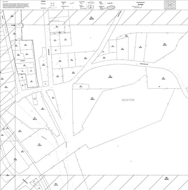
LOT 43 W OF STANFORD RD & E OF CANAL 11.50A
06-00372
SUMMIT
Federalproperty
Ohio
B and X Area of moderate flood hazard, usually the area between the limits of the 100-year and 500-year floods.
43
0
11.50 AC
2025
Akron
532600
Cleveland
NEARBY LISTINGS FOR SALE OR LEASE
-
-
View all Peninsula listings for sale on LoopNet.com
DEMOGRAPHICS near Stanford Rd
1 mile
3 mile
5 mile
2024 Total Population
107
7,497
36,486
2029 Population
107
7,423
36,401
Pop Growth 2024-2029
0.00%
(0.99%)
(0.23%)
Average Age
45
47
45
2024 Total Households
41
3,280
14,861
HH Growth 2024-2029
0.00%
(1.13%)
(0.29%)
Median Household Inc
$137,500
$106,865
$119,358
Avg Household Size
2.60
2.30
2.40
2024 Avg HH Vehicles
3.00
2.00
2.00
Median Home Value
$462,499
$280,759
$332,888
Median Year Built
1968
1975
1986
Nearby Places
Map Layers
Map Styles
 Street
 Aerial
Transit
 Traffic
 Biking
Places
Listings with unknown addresses are not visible on the map
- Restaurants
- Banks
- Shops
- Fitness
- Groceries
PUBLIC TRANSPORTATION
COMMUTER RAIL
Boston Mill (National Park Scenic Railway - Cuyahoga Valley Scenic Railroad)
Drive
Walk
Distance
Boston Mill (National Park Scenic Railway - Cuyahoga Valley Scenic Railroad)
1 min
10 min
0.5 mi
Peninsula Depot (Lock 29) (National Park Scenic Railway - Cuyahoga Valley Scenic Railroad)
Drive
Walk
Distance
Peninsula Depot (Lock 29) (National Park Scenic Railway - Cuyahoga Valley Scenic Railroad)
6 min
2.6 mi
AIRPORT
Cleveland-Hopkins International
Drive
Walk
Distance
Cleveland-Hopkins International
42 min
26.3 mi
Akron-Canton Regional
Drive
Walk
Distance
Akron-Canton Regional
41 min
29.8 mi
Freight Ports
Port of Toledo
Drive
Walk
Distance
Port of Toledo
145 min
120.7 mi
Nearby Properties
Address
Land Use
TOTAL SIZE
Lot Size
Zoning
Address
Land Use
TOTAL SIZE
Lot Size
Zoning
Address
Land Use
TOTAL SIZE
Lot Size
Zoning
1,020,250 SF
63.69 AC
Address
Land Use
TOTAL SIZE
Lot Size
Zoning
739,000 SF
67.10 AC
Address
Land Use
TOTAL SIZE
Lot Size
Zoning
67.10 AC
Address
Land Use
TOTAL SIZE
Lot Size
Zoning
Address
Land Use
TOTAL SIZE
Lot Size
Zoning
180.16 AC
C-F
Address
Land Use
TOTAL SIZE
Lot Size
Zoning
14,247 SF
262 AC
Address
Land Use
TOTAL SIZE
Lot Size
Zoning
64,944 SF
443.23 AC
Address
Land Use
TOTAL SIZE
Lot Size
Zoning
38,863 SF
239.55 AC
Address
Land Use
TOTAL SIZE
Lot Size
Zoning
428.61 AC
Address
Land Use
TOTAL SIZE
Lot Size
Zoning
110.21 AC
C-F
Address
Land Use
TOTAL SIZE
Lot Size
Zoning
139,439 SF
19.73 AC
Address
Land Use
TOTAL SIZE
Lot Size
Zoning
91.71 AC
C-F
Address
Land Use
TOTAL SIZE
Lot Size
Zoning
90.81 AC
C-F
Address
Land Use
TOTAL SIZE
Lot Size
Zoning
86.55 AC
C-F
Address
Land Use
TOTAL SIZE
Lot Size
Zoning
45,231 SF
11.93 AC
Address
Land Use
TOTAL SIZE
Lot Size
Zoning
83.64 AC
C-F
Address
Land Use
TOTAL SIZE
Lot Size
Zoning
82.75 AC
R-60
Address
Land Use
TOTAL SIZE
Lot Size
Zoning
76.59 AC
R-60
Address
Land Use
TOTAL SIZE
Lot Size
Zoning
66.49 AC
C-F
Address
Land Use
TOTAL SIZE
Lot Size
Zoning
68,733 SF
11.46 AC
Address
Land Use
TOTAL SIZE
Lot Size
Zoning
44,650 SF
88.10 AC
Address
Land Use
TOTAL SIZE
Lot Size
Zoning
4,176 SF
52.92 AC
R-60
Address
Land Use
TOTAL SIZE
Lot Size
Zoning
Address
Land Use
TOTAL SIZE
Lot Size
Zoning
25,652 SF
4.13 AC
Address
Land Use
TOTAL SIZE
Lot Size
Zoning
4,982 SF
215.63 AC
Address
Land Use
TOTAL SIZE
Lot Size
Zoning
54.92 AC
R-40
Address
Land Use
TOTAL SIZE
Lot Size
Zoning
Address
Land Use
TOTAL SIZE
Lot Size
Zoning
3,360 SF
18.57 AC
Address
Land Use
TOTAL SIZE
Lot Size
Zoning
43.90 AC
R-60
The World's #1 Commercial Real Estate Marketplace
Connect with us
© 2026 CoStar Group
The information above has been obtained from sources believed reliable. While we do not doubt its accuracy we have not verified it and make no guarantee, warranty or representation about it. It is your responsibility to independently confirm its accuracy and completeness. Any projections, opinions, assumptions, or estimates used are for example only and do not represent the current or future performance of the property. The value of this transaction to you depends on tax and other factors which should be evaluated by your tax, financial, and legal advisors. You and your advisors should conduct a careful, independent investigation of the property to determine to your satisfaction the suitability of the property for your needs.