Property Record
Stantonsburg Rd, Winterville, NC 28590
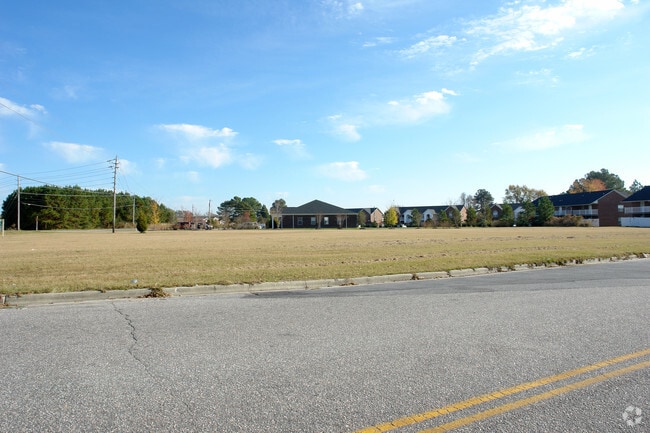


This Property Is For Sale
Property Detail
Stantonsburg Rd
Greenville, NC
WESTPOINTE
048255
PITT
Officebuilding
North Carolina
O
2
B and X Area of moderate flood hazard, usually the area between the limits of the 100-year and 500-year floods.
1.43 AC
2025
Southwest Greenville
2025
Other Market Areas
001301
NEARBY LISTINGS FOR SALE OR LEASE
DEMOGRAPHICS near Stantonsburg Rd
1 mile
3 mile
5 mile
2025 Total Population
6,509
34,308
94,920
2030 Population
6,646
35,542
98,568
Pop Growth 2025-2030
+ 2.10%
+ 3.60%
+ 3.84%
Average Age
36
37
36
2025 Total Households
3,201
15,292
39,082
HH Growth 2025-2030
+ 2.09%
+ 3.58%
+ 4.22%
Median Household Inc
$53,943
$48,782
$54,781
Avg Household Size
2.00
2.10
2.20
2025 Avg HH Vehicles
1.00
2.00
2.00
Median Home Value
$151,813
$178,632
$232,494
Median Year Built
1998
1995
1993
Nearby Places
Map Layers
Map Styles
 Street
 Aerial
Transit
 Traffic
 Biking
Places
Listings with unknown addresses are not visible on the map
- Restaurants
- Banks
- Shops
- Fitness
- Groceries
Nearby Properties
Address
Land Use
TOTAL SIZE
Lot Size
Zoning
Address
Land Use
TOTAL SIZE
Lot Size
Zoning
1,674,744 SF
55.66 AC
MI
Address
Land Use
TOTAL SIZE
Lot Size
Zoning
466,175 SF
14.08 AC
MS
Address
Land Use
TOTAL SIZE
Lot Size
Zoning
302,575 SF
29.53 AC
MI
Address
Land Use
TOTAL SIZE
Lot Size
Zoning
678,883 SF
41.95 AC
MI
Address
Land Use
TOTAL SIZE
Lot Size
Zoning
186,634 SF
14.40 AC
MI
Address
Land Use
TOTAL SIZE
Lot Size
Zoning
184,433 SF
71.40 AC
MI
Address
Land Use
TOTAL SIZE
Lot Size
Zoning
146,413 SF
12.18 AC
MO
Address
Land Use
TOTAL SIZE
Lot Size
Zoning
29,832 SF
24.89 AC
MR
Address
Land Use
TOTAL SIZE
Lot Size
Zoning
130,632 SF
5.06 AC
MI
Address
Land Use
TOTAL SIZE
Lot Size
Zoning
204,828 SF
10 AC
MS
Address
Land Use
TOTAL SIZE
Lot Size
Zoning
142,831 SF
13.61 AC
MO
Address
Land Use
TOTAL SIZE
Lot Size
Zoning
25,290 SF
18.26 AC
OR
Address
Land Use
TOTAL SIZE
Lot Size
Zoning
18,932 SF
11.51 AC
MR
Address
Land Use
TOTAL SIZE
Lot Size
Zoning
8,733 SF
14.26 AC
MR
Address
Land Use
TOTAL SIZE
Lot Size
Zoning
251,265 SF
30.17 AC
0&I
Address
Land Use
TOTAL SIZE
Lot Size
Zoning
23,772 SF
8.75 AC
MR
Address
Land Use
TOTAL SIZE
Lot Size
Zoning
189,690 SF
82.83 AC
CH
Address
Land Use
TOTAL SIZE
Lot Size
Zoning
94,176 SF
23.12 AC
R6
Address
Land Use
TOTAL SIZE
Lot Size
Zoning
97,638 SF
28.62 AC
R9S
Address
Land Use
TOTAL SIZE
Lot Size
Zoning
77,707 SF
6.37 AC
MS
Address
Land Use
TOTAL SIZE
Lot Size
Zoning
111,735 SF
18.40 AC
MI
Address
Land Use
TOTAL SIZE
Lot Size
Zoning
64,547 SF
28.84 AC
MO
Address
Land Use
TOTAL SIZE
Lot Size
Zoning
26,958 SF
7.67 AC
MR
Address
Land Use
TOTAL SIZE
Lot Size
Zoning
30,714 SF
7.79 AC
MR
Address
Land Use
TOTAL SIZE
Lot Size
Zoning
27,466 SF
7.57 AC
MR
Address
Land Use
TOTAL SIZE
Lot Size
Zoning
82,361 SF
2.49 AC
CG
Address
Land Use
TOTAL SIZE
Lot Size
Zoning
129,749 SF
13.56 AC
MCG
Address
Land Use
TOTAL SIZE
Lot Size
Zoning
42,296 SF
147.15 AC
RA20
Address
Land Use
TOTAL SIZE
Lot Size
Zoning
54,430 SF
39.09 AC
RA20
Address
Land Use
TOTAL SIZE
Lot Size
Zoning
45,471 SF
10.69 AC
MO
The World's #1 Commercial Real Estate Marketplace
Connect with us
© 2026 CoStar Group
The information above has been obtained from sources believed reliable. While we do not doubt its accuracy we have not verified it and make no guarantee, warranty or representation about it. It is your responsibility to independently confirm its accuracy and completeness. Any projections, opinions, assumptions, or estimates used are for example only and do not represent the current or future performance of the property. The value of this transaction to you depends on tax and other factors which should be evaluated by your tax, financial, and legal advisors. You and your advisors should conduct a careful, independent investigation of the property to determine to your satisfaction the suitability of the property for your needs.