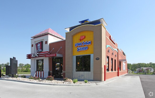
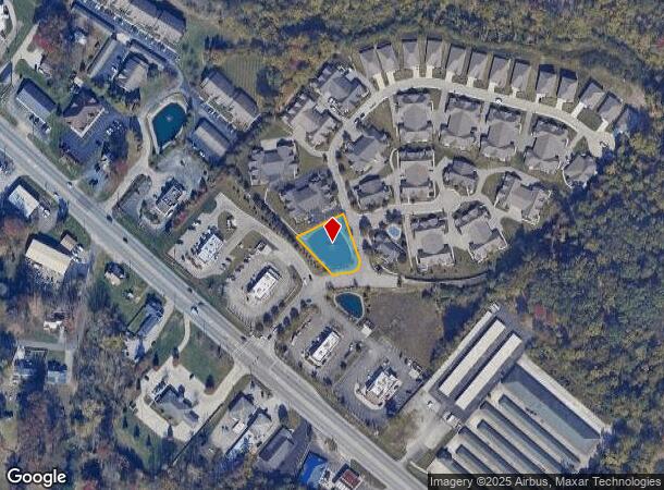
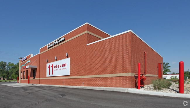
Property Record
State Route 125, Amelia, OH 45102
NEARBY LISTINGS FOR SALE OR LEASE
Property Detail
State Route 125
Cincinnati, OH-KY-IN
Stevens Military Survey #1671-1673
41-31-12B-043
; SEE 413112B043T FOR TIF
Residentialacreage
Clermont
X
Ohio
21037C0070E
0.39 AC
0
Eastgate/Anderson Twp
2024
Cincinnati/Dayton
041105
DEMOGRAPHICS near State Route 125
1 mile
3 mile
5 mile
2024 Total Population
5,961
47,876
96,638
2029 Population
6,104
49,394
99,021
Pop Growth 2024-2029
+ 2.40%
+ 3.17%
+ 2.47%
Average Age
41
41
41
2024 Total Households
2,397
19,812
39,472
HH Growth 2024-2029
+ 2.54%
+ 3.26%
+ 2.59%
Median Household Inc
$67,588
$66,468
$67,026
Avg Household Size
2.40
2.40
2.40
2024 Avg HH Vehicles
2.00
2.00
2.00
Median Home Value
$211,794
$228,386
$224,103
Median Year Built
1984
1990
1985
Nearby Places
Map Layers
Map Styles
 Street
 Aerial
Transit
 Traffic
 Biking
Places
Listings with unknown addresses are not visible on the map
- Restaurants
- Banks
- Shops
- Fitness
- Groceries
PUBLIC TRANSPORTATION
AIRPORT
Cincinnati/Northern Kentucky International
Drive
Walk
Distance
Cincinnati/Northern Kentucky International
41 min
26.5 mi
Freight Ports
Port of Toledo
Drive
Walk
Distance
Port of Toledo
250 min
214.9 mi
SALE & LEASE HISTORY
LISTING DATE
SALE/LEASE

Dec 20, 2018
For Sale
Nearby Properties
Address
Land Use
TOTAL SIZE
Lot Size
Zoning
Address
Land Use
TOTAL SIZE
Lot Size
Zoning
7,560 SF
79.10 AC
Address
Land Use
TOTAL SIZE
Lot Size
Zoning
104,856 SF
32.81 AC
Address
Land Use
TOTAL SIZE
Lot Size
Zoning
8,914 SF
37.70 AC
Address
Land Use
TOTAL SIZE
Lot Size
Zoning
Address
Land Use
TOTAL SIZE
Lot Size
Zoning
49.15 AC
Address
Land Use
TOTAL SIZE
Lot Size
Zoning
56,080 SF
4.40 AC
Address
Land Use
TOTAL SIZE
Lot Size
Zoning
16.02 AC
Address
Land Use
TOTAL SIZE
Lot Size
Zoning
42,078 SF
58.22 AC
Address
Land Use
TOTAL SIZE
Lot Size
Zoning
17,700 SF
50.11 AC
Address
Land Use
TOTAL SIZE
Lot Size
Zoning
980 SF
5.01 AC
Address
Land Use
TOTAL SIZE
Lot Size
Zoning
79,064 SF
7.34 AC
Address
Land Use
TOTAL SIZE
Lot Size
Zoning
1,380 SF
8.78 AC
Address
Land Use
TOTAL SIZE
Lot Size
Zoning
83,608 SF
4.45 AC
Address
Land Use
TOTAL SIZE
Lot Size
Zoning
11,442 SF
9.70 AC
Address
Land Use
TOTAL SIZE
Lot Size
Zoning
168,266 SF
105.07 AC
Address
Land Use
TOTAL SIZE
Lot Size
Zoning
70,489 SF
8.57 AC
Address
Land Use
TOTAL SIZE
Lot Size
Zoning
65,720 SF
7.49 AC
Address
Land Use
TOTAL SIZE
Lot Size
Zoning
22,109 SF
7.98 AC
Address
Land Use
TOTAL SIZE
Lot Size
Zoning
12,488 SF
32.85 AC
Address
Land Use
TOTAL SIZE
Lot Size
Zoning
189,350 SF
16.25 AC
Address
Land Use
TOTAL SIZE
Lot Size
Zoning
59,360 SF
16.55 AC
Address
Land Use
TOTAL SIZE
Lot Size
Zoning
11,850 SF
24.64 AC
Address
Land Use
TOTAL SIZE
Lot Size
Zoning
13,296 SF
14.99 AC
Address
Land Use
TOTAL SIZE
Lot Size
Zoning
9,504 SF
24.04 AC
Address
Land Use
TOTAL SIZE
Lot Size
Zoning
275,706 SF
14.82 AC
Address
Land Use
TOTAL SIZE
Lot Size
Zoning
71,549 SF
9.90 AC
Address
Land Use
TOTAL SIZE
Lot Size
Zoning
6,900 SF
37.76 AC
Address
Land Use
TOTAL SIZE
Lot Size
Zoning
4,920 SF
2.50 AC
Address
Land Use
TOTAL SIZE
Lot Size
Zoning
26,404 SF
16.06 AC
Address
Land Use
TOTAL SIZE
Lot Size
Zoning
7,822 SF
8.47 AC
The World's #1 Commercial Real Estate Marketplace
Connect with us
© 2026 CoStar Group
The information above has been obtained from sources believed reliable. While we do not doubt its accuracy we have not verified it and make no guarantee, warranty or representation about it. It is your responsibility to independently confirm its accuracy and completeness. Any projections, opinions, assumptions, or estimates used are for example only and do not represent the current or future performance of the property. The value of this transaction to you depends on tax and other factors which should be evaluated by your tax, financial, and legal advisors. You and your advisors should conduct a careful, independent investigation of the property to determine to your satisfaction the suitability of the property for your needs.