Property Record
State Rt 7, Marietta, OH 45750

NEARBY LISTINGS FOR SALE OR LEASE
Property Detail
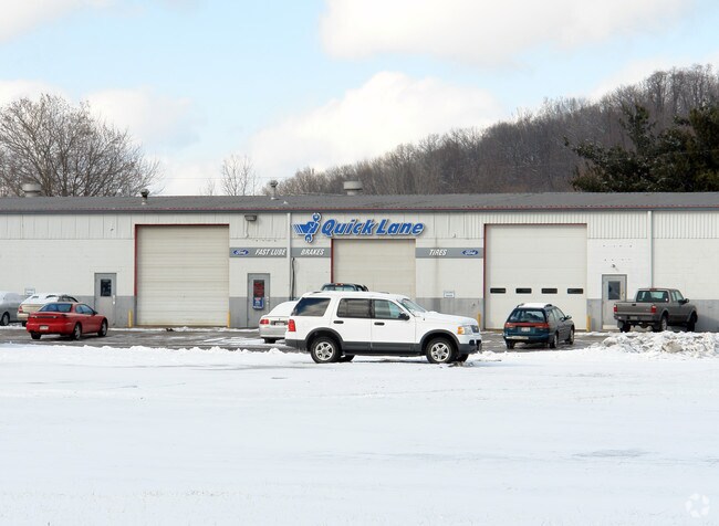
State Rt 7
Marietta, OH
R8 T2 S16 LOT 15 - .09 AC
2300-75372-000
Washington
Commercialacreage
Ohio
AE
15
54107C0043D
0.12 AC
2025
Ohio South Area
2024
Other Market Areas
020900
DEMOGRAPHICS near State Rt 7
1 mile
3 mile
5 mile
2024 Total Population
1,379
16,145
27,637
2029 Population
1,394
15,979
27,397
Pop Growth 2024-2029
+ 1.09%
(1.03%)
(0.87%)
Average Age
44
42
43
2024 Total Households
624
6,888
11,904
HH Growth 2024-2029
+ 0.96%
(1.00%)
(0.87%)
Median Household Inc
$45,179
$47,403
$52,318
Avg Household Size
2.10
2.20
2.20
2024 Avg HH Vehicles
2.00
2.00
2.00
Median Home Value
$137,333
$156,945
$160,176
Median Year Built
1983
1970
1970
Nearby Places
Map Layers
Map Styles
 Street
 Aerial
Transit
 Traffic
 Biking
Places
Listings with unknown addresses are not visible on the map
- Restaurants
- Banks
- Shops
- Fitness
- Groceries
Nearby Properties
Address
Land Use
TOTAL SIZE
Lot Size
Zoning
Address
Land Use
TOTAL SIZE
Lot Size
Zoning
53,390 SF
0.22 AC
Address
Land Use
TOTAL SIZE
Lot Size
Zoning
106,780 SF
Address
Land Use
TOTAL SIZE
Lot Size
Zoning
Address
Land Use
TOTAL SIZE
Lot Size
Zoning
4.50 AC
Address
Land Use
TOTAL SIZE
Lot Size
Zoning
6,918 SF
3 AC
Address
Land Use
TOTAL SIZE
Lot Size
Zoning
Address
Land Use
TOTAL SIZE
Lot Size
Zoning
6,567 SF
5.05 AC
Address
Land Use
TOTAL SIZE
Lot Size
Zoning
57,631 SF
5.61 AC
Address
Land Use
TOTAL SIZE
Lot Size
Zoning
5,390 SF
Address
Land Use
TOTAL SIZE
Lot Size
Zoning
11.11 AC
Address
Land Use
TOTAL SIZE
Lot Size
Zoning
8.34 AC
Address
Land Use
TOTAL SIZE
Lot Size
Zoning
3.34 AC
Address
Land Use
TOTAL SIZE
Lot Size
Zoning
1,845 SF
7.21 AC
Address
Land Use
TOTAL SIZE
Lot Size
Zoning
70.02 AC
Address
Land Use
TOTAL SIZE
Lot Size
Zoning
24,800 SF
0.32 AC
Address
Land Use
TOTAL SIZE
Lot Size
Zoning
4,256 SF
1.54 AC
Address
Land Use
TOTAL SIZE
Lot Size
Zoning
6,020 SF
0.47 AC
Address
Land Use
TOTAL SIZE
Lot Size
Zoning
62,139 SF
12.10 AC
Address
Land Use
TOTAL SIZE
Lot Size
Zoning
53,121 SF
1.53 AC
Address
Land Use
TOTAL SIZE
Lot Size
Zoning
22,996 SF
2.70 AC
Address
Land Use
TOTAL SIZE
Lot Size
Zoning
Address
Land Use
TOTAL SIZE
Lot Size
Zoning
10,028 SF
2.67 AC
Address
Land Use
TOTAL SIZE
Lot Size
Zoning
17,943 SF
3.70 AC
Address
Land Use
TOTAL SIZE
Lot Size
Zoning
Address
Land Use
TOTAL SIZE
Lot Size
Zoning
Address
Land Use
TOTAL SIZE
Lot Size
Zoning
42,496 SF
1.45 AC
Address
Land Use
TOTAL SIZE
Lot Size
Zoning
36,776 SF
104.50 AC
Address
Land Use
TOTAL SIZE
Lot Size
Zoning
1,449 SF
1.19 AC
Address
Land Use
TOTAL SIZE
Lot Size
Zoning
0.27 AC
Address
Land Use
TOTAL SIZE
Lot Size
Zoning
29,070 SF
0.21 AC
The World's #1 Commercial Real Estate Marketplace
Connect with us
© 2026 CoStar Group
The information above has been obtained from sources believed reliable. While we do not doubt its accuracy we have not verified it and make no guarantee, warranty or representation about it. It is your responsibility to independently confirm its accuracy and completeness. Any projections, opinions, assumptions, or estimates used are for example only and do not represent the current or future performance of the property. The value of this transaction to you depends on tax and other factors which should be evaluated by your tax, financial, and legal advisors. You and your advisors should conduct a careful, independent investigation of the property to determine to your satisfaction the suitability of the property for your needs.