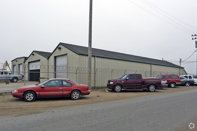
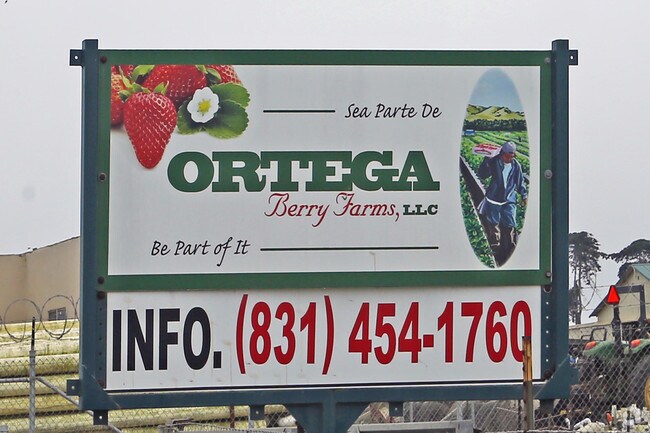
Property Record
Struve Rd, Watsonville, CA 95039

Property Detail
Struve Rd
413-012-014-000
NLY 84.95 AC OF SE 1/4 OF SEC 6 & POR OF CO RD T13S R2E
Farms
MONTEREY
B and X Area of moderate flood hazard, usually the area between the limits of the 100-year and 500-year floods.
California
2024
84.95 AC
2025
North Monterey County
014601
Salinas
3,371 SF
Salinas, CA
NEARBY LISTINGS FOR SALE OR LEASE
DEMOGRAPHICS near Struve Rd
1 mile
3 mile
5 mile
2025 Total Population
650
1,759
20,279
2030 Population
618
1,703
19,709
Pop Growth 2025-2030
(4.92%)
(3.18%)
(2.81%)
Average Age
37
39
36
2025 Total Households
167
500
5,190
HH Growth 2025-2030
(5.39%)
(3.20%)
(3.33%)
Median Household Inc
$56,333
$59,999
$86,465
Avg Household Size
3.80
3.40
3.70
2025 Avg HH Vehicles
2.00
2.00
3.00
Median Home Value
$299,999
$700,581
$725,971
Median Year Built
1980
1976
1976
Nearby Places
Map Layers
Map Styles
 Street
 Aerial
Layers
 Traffic
 Biking
Places
Listings with unknown addresses are not visible on the map
- Restaurants
- Banks
- Shops
- Fitness
- Groceries
PUBLIC TRANSPORTATION
AIRPORT
Monterey Regional
Drive
Walk
Distance
Monterey Regional
27 min
20.9 mi
Freight Ports
Port of Redwood City
Drive
Walk
Distance
Port of Redwood City
88 min
68.4 mi
Nearby Properties
Address
Land Use
TOTAL SIZE
Lot Size
Zoning
Address
Land Use
TOTAL SIZE
Lot Size
Zoning
26,420 SF
6.13 AC
Address
Land Use
TOTAL SIZE
Lot Size
Zoning
182.74 AC
Address
Land Use
TOTAL SIZE
Lot Size
Zoning
36,320 SF
3.20 AC
Address
Land Use
TOTAL SIZE
Lot Size
Zoning
112,076 SF
41.20 AC
Address
Land Use
TOTAL SIZE
Lot Size
Zoning
160 SF
3.15 AC
Address
Land Use
TOTAL SIZE
Lot Size
Zoning
15.76 AC
Address
Land Use
TOTAL SIZE
Lot Size
Zoning
38,203 SF
4.30 AC
Address
Land Use
TOTAL SIZE
Lot Size
Zoning
15,416 SF
2.50 AC
Address
Land Use
TOTAL SIZE
Lot Size
Zoning
43,724 SF
20 AC
Address
Land Use
TOTAL SIZE
Lot Size
Zoning
365 SF
1.21 AC
Address
Land Use
TOTAL SIZE
Lot Size
Zoning
18,397 SF
1.25 AC
Address
Land Use
TOTAL SIZE
Lot Size
Zoning
Address
Land Use
TOTAL SIZE
Lot Size
Zoning
9,361 SF
1.48 AC
Address
Land Use
TOTAL SIZE
Lot Size
Zoning
21,129 SF
3 AC
Address
Land Use
TOTAL SIZE
Lot Size
Zoning
148.17 AC
Address
Land Use
TOTAL SIZE
Lot Size
Zoning
Address
Land Use
TOTAL SIZE
Lot Size
Zoning
31.59 AC
Address
Land Use
TOTAL SIZE
Lot Size
Zoning
18,492 SF
0.87 AC
Address
Land Use
TOTAL SIZE
Lot Size
Zoning
3,125 SF
276.38 AC
Address
Land Use
TOTAL SIZE
Lot Size
Zoning
0.18 AC
SU
Address
Land Use
TOTAL SIZE
Lot Size
Zoning
5,148 SF
34.45 AC
Address
Land Use
TOTAL SIZE
Lot Size
Zoning
3,920 SF
1.82 AC
Address
Land Use
TOTAL SIZE
Lot Size
Zoning
8,435 SF
1.34 AC
Address
Land Use
TOTAL SIZE
Lot Size
Zoning
1,568 SF
107.20 AC
Address
Land Use
TOTAL SIZE
Lot Size
Zoning
7,200 SF
0.50 AC
Address
Land Use
TOTAL SIZE
Lot Size
Zoning
1,191 SF
92.58 AC
CA
The World's #1 Commercial Real Estate Marketplace
Connect with us
© 2026 CoStar Group
The information above has been obtained from sources believed reliable. While we do not doubt its accuracy we have not verified it and make no guarantee, warranty or representation about it. It is your responsibility to independently confirm its accuracy and completeness. Any projections, opinions, assumptions, or estimates used are for example only and do not represent the current or future performance of the property. The value of this transaction to you depends on tax and other factors which should be evaluated by your tax, financial, and legal advisors. You and your advisors should conduct a careful, independent investigation of the property to determine to your satisfaction the suitability of the property for your needs.